Zakogawa (Lower)
| Stretch: | "Oozen Falls" to the Nakatsugawa |
| Difficulty: | Class V |
| Distance: | 4.9 miles |
| Flows: | We had maybe ~200 cfs, then diverted down to ~100. It was ELF |
| Gradient: | 198 fpm average |
| Put-in: | Either reppell to the base of "Oozen Falls" or put-in at the dam downstream. +36° 49' 8.80", +138° 33' 43.03" |
| Take-out: | Confluence with the Nakatsugawa +36° 48' 34.88", +138° 37' 12.52" |
| Shuttle: | ~7 miles (20 minutes one way) |
| Season: | Spring off of Rain/Snowmelt |
| Written: | © 2012 |
| Featured in A Wet State #66 and in A Wet State's contribution to World Kayak's Video Guide | |

Japan 2012 Day 5:
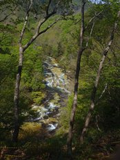
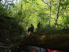
What can I say... this is the most scared I have ever been while on the river... and I wasn't even "on" the river. I was portaging... In hindsight, as is often the case, if I had it to do over again, I would do things differently. In this instance, I would run the falls as Rok and Darin did rather portaging on a super steep, slippery slope where one slip, or one root pulling up (while being used as a handhold) would mean almost certain death. It is also a pity this drop is here, forcing the decision of running a 40 footer directly into an undercut or the portage which would have driven me to tears if I thought tears would help the matter. Thankfully though, our group did have two people willing to run it. This allowed the remainder of the group to throw our boats off the falls to them. Some of the boats went into the undercut but Rok paddled into the undercut to pull them back out. Not something I would recommend. If they were not below, then I am not sure what we would have done. Doing the portage with a boat would have been a no-go. Sure Lincoln Taylor has done it... but he is an animal. We all were gripped just holding on to our paddles and several times were forced to even pass those! OK, enough of the negative experience... the rest of the river really was special. But the portage did have that big of an effect on me.
We put on directly below a steep cascade that is likely unrunnable. This involved repelling down a hillside and lowering boats some 80 feet below. It took almost an hour and started my days off with a solid cramping. In hindsight, there is a dam a quarter mile downstream with an easy trail leading to it. Next time, I will use that for put-in. When we put on, we found the flows to be an optimum medium. However, a quarter mile later at the dam, the water was cut in half and we now found ourselves on a decidedly low flow. Knowing the good drops would still be worth it, we opted to continue on and beat our way down some shallow boulder bars.
The river has sections of bedrock where the water falls off multi-tiered waterfalls ranging from a few feet to 15 feet tall. All of them are easily scoutable and all but the 40 footer are easily portagable. The action is spread out through the length of the run, with the last major drop being just above the diversion dam near take-out. In total, despite the short length of the run, plan on a full day's adventure. With the portage, and many steep rapids that would require a scout, our time was reduced thanks to the previous year's knowledge and lessons learned (portage route, steep drops that you don't need to scout etc). This resulted in a 5 hour trip from the time we got to the water at put-in, with 2 of it at the falls/portage. I think most groups will likely spend this much if not more time in the canyon.
Now for the million dollar question, will I go back? Once I know I will run the 40 footer, yes. But I will not do the portage again. (With all that said, I know one other in our group hated the portage as much as me, but the others who are more comfortable with heights although not liking the portage, were not nearing a meltdown in the same way as I was...)
A final thought, although at the low flow I didn't rate too many singular rapids as class V, I feel that the day in general had a class V feel of it. You could certainly take some of the teeth out by walking some of the bigger drops, however there are still countless in between technical boulder gardens that reminded me of the stuff on the Green River in North Carolina.
Thanks to Laura Farrell and Diane Gaydos for their contribution of photos.
Also, check out Darin McQuoid's photos on his website, www.darinmcquoid.com
Last: Day 4 (Nakatsugawa - Above the Red Bridge)
Next: Day 5 (Zakogawa - Upper)
Mi 0.5:
- Dam (III). About a quarter mile below where we put-in is a dam that was runnable on the right. Next time, I will be putting in here.
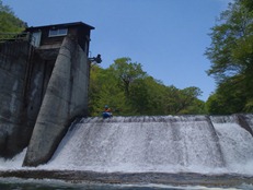
Slide (IV to IV+). The first good bedrock rapid is a slide that sldies you into the left wall, which is fine as being further right you would meet a rock.
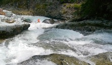
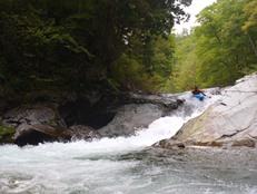
First Falls (IV). This first falls was straight forward. Rock went for a middle line, but we all wanted more water for that line. Instead we all scrapped down the right which had less water but a better transition. Scout left.
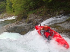
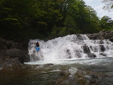
Second Falls (IV). Immediately downstream, a small rapid led to a horizon line that we ran down the right side. A nice slide to an 8-10 foot drops. The river then makes an abrupt left turn just under the landing.
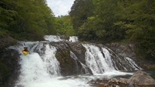
Pinch (IV+ to P). In 2011, I believe they portage this rapid as it pinches very tight together. At low flows we were able to run down the right and go through the pinch without a problem.
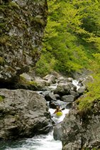
Small Double Drop (IV to V). Again, low flows mellowed this one out. Two boofs in quick succession. Both run far left. At higher flows both holes could offer a ride.
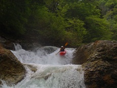
Large Double Drop (IV to V). At the low flows it was straight forward, the first falls is maybe 10-12 feet tall, best run down left of center. Scout from the right. The second drop was just a small pool downriver, best run hard left to right.
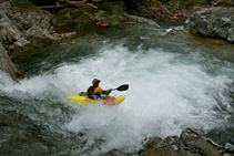
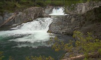
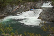
Another Small Double Drop (IV to IV+). I think this one may have been harder at low flow. We ran down the right side of a double ledge. The bottom hole is good size, but you carry enough speed to bust right through... assuming you are in control. At higher flow, the river went up and over the shelf that we scouted on and created a slide... avoiding the meat of the middle area. We took lunch here.
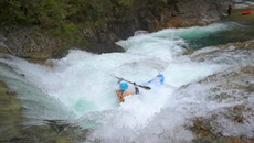
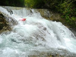
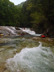
Portage (U). Just downstream, the river dropped into a constricted bedrock rapid that a tree in it. We eddied out easily (though the log isn't all that visible) and portaged on the left.
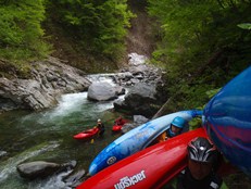
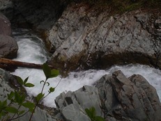
GoPro No-More (IV+). Just downstream on the right bend, the river drops off a shelf left to right into the wall. I caught an edge and took a header into the wall... breaking the GoPro mount... but, I did have it tethered so it lived for another day! At higher flows you can also sneak this down the ledge on the left that opens up.
- One of the Best (V). Scout left. Boof center off of the peak of the lip and enjoy the 12-15 feet of free fall. Land, and ride down the slide punching the hole below. So good. As you approach this lip you see the pool below some 25-30 feet and get a kick of adrenaline before the first landing zone appears beneath you.
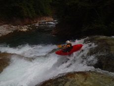
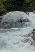
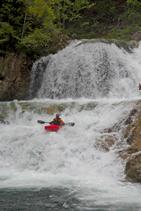
Lead-in (IV+). So at low flows, the lead in was only class IV, but it did have a hole or two that could be a problem, I believe at high flow they walked the lead in. It pinches left against the wall, you want to catch the eddy immediately below the pinch on the right. Otherwise, you are running the Waterfall. Scout/portage right.
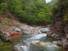
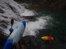
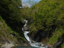
- Waterfall (V+ to P). Go left. At low flow, plug and paddle away. At high flow when the river pushes hard into the undercut (so I have I heard... even low, 1-2 roll attempts is all you get before you are in it) you need to boof hard left. The hazard is the very undercut wall on the right. At the low flow, Rok volunteered to run the waterfall. He tried a center line and got pushed all the way to the right of the undercut and rolled up off the wall before getting pulled into the main undercut. From below, he collected boats as we threw them off the falls (not possible with high water). Then after a few boats styled it down the left, Darin gave it a go to help further... We had one scary moment though when one boat without float bags plugged and had the skirt blow off of it, flushing full of water into the undercut and blocking Rok into it as well. Several scary moments later, and after 3 rolls, Rok was able to fully right himself and back out of the undercut with the boat in tow. Amazing. Luckily, we carabineered our skirts to the boat in case an implosion happened. OK, so now portage talk. Head up the hill to the right, climb up and cross the first gully (just exposed hillside) and then continue going up. We worked left too soon and had to climb up super sketchy spots. There is a ravine that you need to get above and cross. At this point we found what appeared to be some sort of game trail to traverse on before getting to the next small creek ravine that we were able to fairly easily downclimb back to the water. The portage was on very steep slopes, literally at times approaching 70 degrees and it was pouring rain on us (day started sunny!). Luckily, the forest here has roots and vines that are super solid that you are able to use to assist your climb. Without these it would not be possible. Also, I know Lincoln has done the portage with his boat before with assistance... but dang I cannot imagine that. I was stressed just having my paddle in one hand. However, at the high water when he did that... the throw of the boat was not an option. FYI, at low flows, the first descent group that did a throw and go and lost a paddle in the undercut, never to be seen again.
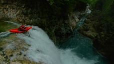
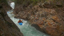
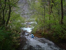
Boogie (IV+). There is now a mile or so of boogie, some sticky ledges, a few holes, and many boulder gardens.
- Plugger (IV+). The river enters bedrock again, catch the eddy on the left at the obvious horizon line. We were able to just plug deep into the hole below. Not sure about high flows.
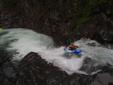
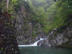
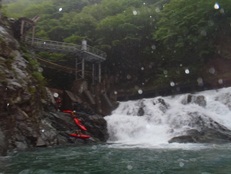
Dam (P). At low flows, we were able to just get out at the lip, walk down the right side, and put back in at the base. At higher flows, that was underwater and they had to ascend up to the scaffolding and rappel back down to the water. Kind of a downer to end the day on as the take-out is just a short distance below. And this take-out has three hot springs to choose from!
Directions: Use the GPS locations to get yourself to put-in and take-out... I wasn't driving most days and do not know enough of the directions to be useful.
Take-out: You need to study the map to get here. When you get to the Confluence with the Zakogawa, we put in at the hot springs / hotel on the down river side. For 500 Yen, we also hot-springed here every day in this region.
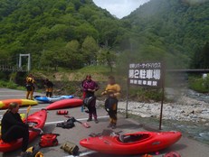
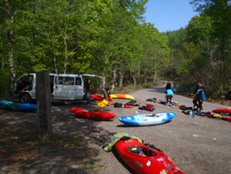
Put-in: Driving up the Zakogawa, you will see a trailhead on the left marked by a blue sign (if I recall correctly), that is the trail to the dam. A quarter mile further on a right bend, there is another turnout on the left with a totem standing. This is the trailhead to the base of the falls. Go left at the fork to in the trail until you find a ravine/creek (the second creek you come to) to drop down with rope assist.
HTML Comment Box is loading comments...
