Nakatsugawa (Above the Red Bridge)
| Stretch: | Below the confluence with the Zakogawa |
| Difficulty: | IV to IV+ (Upper Gorge) IV to V (Lower Gorge) |
| Distance: | 6.5 miles |
| Flows: | We had maybe ~600 cfs. At put-in... it was low. But by the end, the rain had increased to maybe 1,200 cfs which felt perfect for the Lower Gorge. |
| Gradient: | 117 fpm average (Upper Gorge is 114 fpm, Lower Gorge is 150 fpm) |
| Put-in: | Confluence with the Zakogawa +36° 48' 34.88", +138° 37' 12.02" |
| Take-out: | At the Red Bridge, just out of town +36° 53' 7.02", +138° 38' 12.92" |
| Shuttle: | 6.5 miles (20 minutes one way) |
| Season: | Spring off of Rain/Snowmelt |
| Written: | © 2012 |
| Featured in Video Sixty-Five | |

Japan 2012 Day 4:
This river surprised me and ended up being one of my favorites of the trip. Perhaps not the entire river, but one section in the lower gorge will stick with me for its natural beauty and intimidating nature. But I will get to that later.
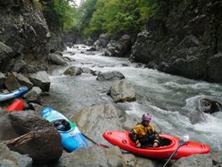
This day, we put in at the confluence of the Nakatsugawa and the Zakogawa at the hot springs from the night before. Quickly, you get to the start of the upper gorge. This gorge was at a fun flow, though perhaps a little low. Most of the rapids got easier, class IV to IV+ with boofs around spots that would be big holes higher. The 2011 crew had high water and say it was class IV to V. Knowing the caliber of that group, I have a feeling it was more likely class V! Below the last rapid of this gorge, the river opens up, the canyon spreads, the gradient drops, and the river widens welcoming easier class III to IV boulder gardens.
The halfway point of this run is at a small town, with a bridge and a small dam that we portaged around. One in our group took off here due to a broken boat while the rest of us continued. Just downstream was a construction site that we boated by and got some dirty looks. Later, when we picked up the person who took off, a construction worker came up to Yoshi and began to lay into him. Afterwards when we asked what he had said, Yoshi answered "He says, ‘welcome gaijin (foreigner) to Japan!" In reality he actually told us never to come back and it was too dangerous.
Below, the river continues with fun boulder gardens and eventually begins to get steeper as the lower gorge approaches. The lead in rapid to the lower gorge had a hole to keep us honest and led directly to the gorge entrance itself. At high flows, the 2011 crew took off here due to the committed canyon and difficulty of the rapids. For us, the pounding rain and turned the river brown and raised the river to a near optimal level. No longer low, but by no means high. Thunder was pounding the canyon adding to the ominous canyon as we dropped into the canyons grip. The first rapid was a boulder choke that half the group ran, half the group completed an easy partial portage on the right. Below few easier rapids led to the crux. As we stood, 200 meters upstream of the crux rapid at the only vantage point... for the first time that day the sun appeared. I remember thinking that it had to be a good sign. Darin went first to the micro eddy at the lip, peering over the left side at what we figured was the line. Soon he plopped off reappearing below assuring us the canyon (or this rapid at least) was passable. As I came through the rapid, the river split around spire in one of the more unique features I have seen in a canyon. From the spire, scouting the next rapid, the scenery only got better as we were greeted with sculpted walls and a cascading waterfall coming down the wall. Truly a special place. It is because of these two rapids that I would go back in a heartbeat. Below, a few more class IV rapids await before the canyon opens up and you find yourself at the Red Bridge.
That night, we hot-springed again before heading up to camp for a pleasant night of sleep with thoughts of the Zakogawa filling our minds for the next day.
Also, check out Darin McQuoid's photos on his website, www.darinmcquoid.com
Last: Day 4 (Nakatsugawa - Below the Red Bridge)
Next: Day 5 (Zakogawa - Lower)
Mi 0:
- The crux of the top half of the run is all in the first mile. After a few boofs directly below the confluence, you will start to need to scout.
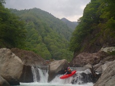
Serpentine (IV+). The first significant rapid wasn't that hard but had a sieve in play on the left that the water pushed you towards and a pocket on the right. We all just crashed our and punched the holes. Scout and possible portage on the left.
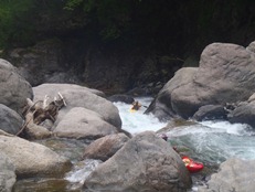
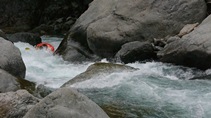
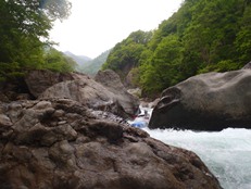
Avoid the Rock (IV+ to V-). At our flow, this was a IV+... at higher flow I can imagine it gets harder. We scouted from an rock in the middle of the river. The first tier you wanted to boof far right to avoid the rock that it would land on if you weren't far far right. Below, we ran middle down a rocky ledge. One in our group portaged on the left.
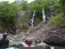
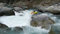
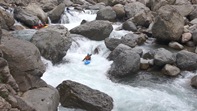
Splits (IV). The group split up here due to group size and capabilities. The rapid was multi step and we ran straight down the center through a few holes. The final boof slides you right which results in some interaction with a rock. Scout and possible portage on the right.
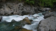
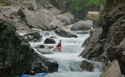
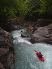
Exit of the First Gorge (IV to V). At our flow, this rapid was not bad, a simple slide at the top on the right and a junky exit least junky on the left. At high flows in 2011 it was apparently significantly bigger! Easy scout/portage on the left.
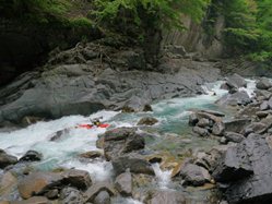
- Boogie (III to IV). I don't recall anything harder than class IV in this section. Many of the rapids were long boulder bar rapids while a few had steeper steps that we popped out to quickly scout. This continues to the halfway point at the bridge/dam.
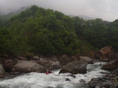
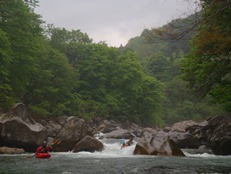
- Bridge/Dam Access (Optional Put-in / Take-out). You can take out here to take the teeth out of the run or if the water is high. Just below the bridge we portage a dam where the water went through a tunnel, under the waterline.
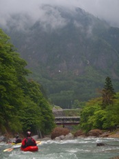
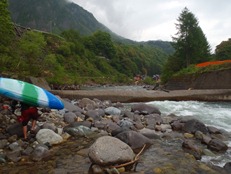
Below, the boogie steps up to more consistently class IV. For us, the water started to come up a bit which helped to fill in the boogie.
- Tree (IV). I am sure this tree will be gone next year, but it is a warning of the ever changing rapids due to water flows from typhoons and resulting from landslides. We had to catch a ;ast minute eddy in front of a tree on the shore. Darin and Diane were in front and had a somewhat arduous portage around it on the slippery hill side. Yoshi and I were further upstream and were able to portage into the other channel and continue on the water.
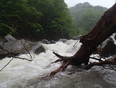
It Probably Went (IV+ to V). A junky rapid that constricted into a tight channel on the right with a lot of exploding water. Darin eddied out low and didn't have faith, so I hopped out to scout more. We ended up sneaking it down a small center channel. The other half of the group that was ahead ending up running it apparently successfully.
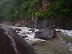
Sweet Boof (IV+ to V). Several sweet boofs. A slightly rocky lead in led to a sweet boof in the middle, followed by another boof on the right and then some junk that we avoided in a clean channel back right again. Scout this one on the left... possibly portage.
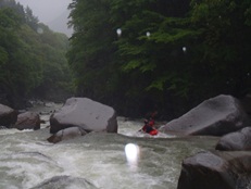
- Entrance (IV+). The last boulder garden was one of the harder. From the left shore you could see enough... head down the right and line up the hole that wants to put you into the left wall. Catch an eddy below and scout the first gorged out rapid.

Gorge Rapid #1 (V). After scouting on the right, Darin found a narrow line on the left wall. The rest of us, did a half portage on the right, sliding in and running the bottom half. Just around the corner is sweet boof dead center into a good size hole.
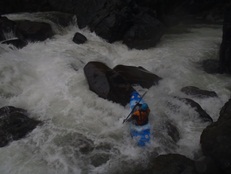
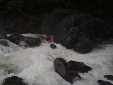
Lead In (IV). The next 100 yards wasn't too bad. We ran two ledges on the far left. One broke Yoshi's paddle and gave us a small fright as the next rapid is the unscoutable / unportagable.
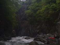
Committed (V). The only look you can get is from 150 yards upstream. The right looks bad. The left looks like it is stepped. After you run the class III to IV rapid leading to the lip, you are able to peer over and see that the left goes but it does have a tree on the left shore (2012). We boof directly left of the center rock and then punched two quick holes below. The river then goes into a wide eddy on the left... the next rapid isn't hard, but scout it for the view!
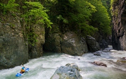
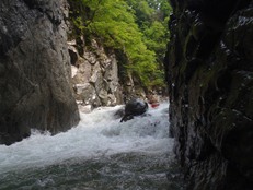
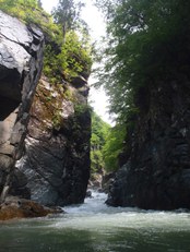
Beauty (IV). Just a split ramp into a hole. The easier side is the right. The view though is amazing... with the cascading waterfall on the right and vertical walls surrounding you.
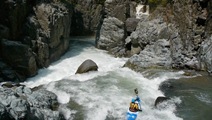
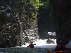
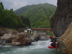
- Boogie (IV). Downstream is the river opens back up and gets easier and less committed again. It is a quick half mile or so to the take-out just upstream of the Red Bridge.
Directions: Use the GPS locations to get yourself to put-in and take-out... I wasn't driving most days and do not know enough of the directions to be useful.
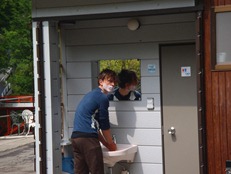
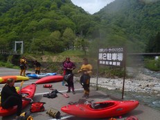
Take-out: Heading up river, you will drop down and cross it at the very picturesque red bridge. There is a small restaurant and shop (with really good food!) with a small parking lot. We asked permission to park here and they allowed. They also had a faucet to refill our water and a toilet.
Put-in: There are a couple of turns to make. So take a look at the map first... Just continue heading upriver, never climbing too far from the river. When you get to the Confluence with the Zakogawa, we put in at the hot springs / hotel on the down river side. For 500 Yen, we also hot-springed here every day in this region.
HTML Comment Box is loading comments...
