Yunokoyagawa (Terihakyo Canyon)
| Stretch: | Near Fujiwara |
| Difficulty: | Class IV to V |
| Distance: | 1.65 miles |
| Flows: | We had maybe ~150 cfs. It was a low medium |
| Gradient: | 186 fpm (208 fpm for 1st mile) |
| Put-in: | Just off the road, at the dam +36° 52' 0.44", +139° 6' 2.17" |
| Take-out: | The lowest bridge down near the lake/confluence +36° 52' 34.08", +139° 4' 36.38" |
| Shuttle: | 1.7 miles (5 minutes one way) |
| Season: | Spring off of Rain/Snowmelt |
| Written: | © 2012 |
| Featured in A Wet State: #64 and in A Wet State's contribution to World Kayak's Video Guide | |

Japan 2012 Day 2 Afternoon:
After our morning run on the Tonegawa, we headed up the mountain an hour to the Terihakyo Canyon on the Yunokoyagawa. At the time, I had not heard of this run. By the time we finished, I realized that I had seen a drop or two from this river in Cody Howard's "Risen Sun."
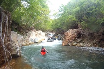
For a road side run, the gorge is quite pretty and the road is not noticed. The drops are steeper than I had anticipated and in general more difficult that I had expected. Perhaps my memory is a little skewed due to a swim caused by miscommunication and a blown eddy by me. The rest of the run though was really fun. Several slides and falls are interspersed between boulder gardens. The grand finale is the double falls right at take-out. The flow we had I thought was optimal for the big drops, low for the in between. With less water the in between would have quickly became a pain while with more water, a few of the ledges would have become significant holes and could put a damper on the day really quickly. As it was, another hole in a small boulder garden caused problems for our group as well with an additional swim.
This run is very worth doing as a creek with some fun drops. The scenery, though nice, is not as epic nor as lush as the other rivers we got on. However, if you are looking for a steep creek to do as a half day when in the area or after the Tonegawa, this river is for you.
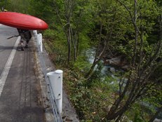
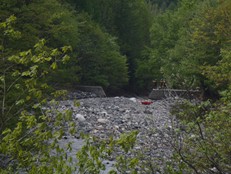
Also, the road does not open until late May or Early June. As such, we had to hike up a short ways to put on. We put on just above the dam. Upriver, the creek gets more congested. We hiked up further without boats and decided that it didn't look worth continuing up river for. Though, who knows what is above the half mile extra we scouted. Perhaps there is more bed rock up there... perhaps.
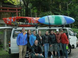
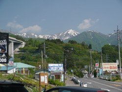
Also, check out Darin McQuoid's photos on his website, www.darinmcquoid.com
Last: Day 2 Afternoon (Tonegawa)
Next: Day 3 (Nakatsugawa - Below the Red Bridge)
Thanks to Laura Farrell for her contribution of photos.
Mi 0:
- Dam (IV+ to V). We put in just above this dam, no warm up here. We all boofed it... at higher water the hole could get bad, as it was, it could trash your if you messed it up too much.
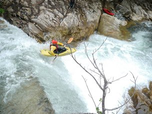
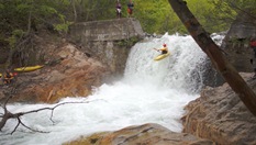
Plug (IV+). A long straight forward lead in of small holes best run down the far left led to a 6 foot ledge that folded in to a plug. We all drove left and tried to boof but none of us succeeded.
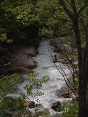
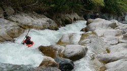
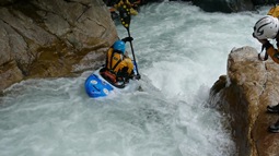
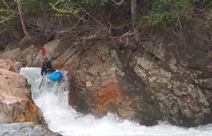
Sticky Ledge (IV). Amongst the boulder gardens there was one that we ran down the right that had a sticky hole in it. Boof the ledge and paddle out. One in our group swam and a few others had to fight out.
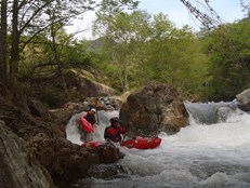
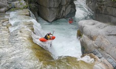
Sliding Falls (IV+ to V). A few holes in the lead in push you right away from the line you want. End in the left channel and boof off the slide and clear of the falls. I have seen video on youtube of Lincoln Taylor running this at really high flows and it looks consequential!
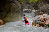
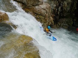
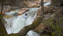
Last Minute Eddy (V- to V). Just around the corner is a challenging rapid. The entry is a crack on the left, with a small launch boof just right of the crack. We ran on hand signals. As I came through, I eyed the exit pinch between two rocks but at the last second got hollered to eddy out due to a hand signal from downstream... I ended up going down the pinch backwards, pitoned, cart-wheeled, and popped my knees out of the boat resulting in a swim. In the end, most the group ended up going down that channel. Oh well... the team learned a lesson on signals on this one.
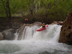
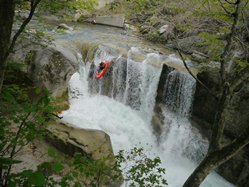
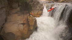
- Final Falls (V to V+). By far the stoutest falls on the run. This one too is in Cody's Risen Sun video. Them, like our group, ran several different lines. Rok went far left dropping the entire 20 feet at once just beside a rock out cropping. The rest of the group ran middle boofing out onto the tier. At some flows, you can also run far right the whole way. Set safety, the tier is a pot hole that also has a room of doom behind the curtain and the wall downstream on the left is undercut.
Directions: Use the GPS locations to get yourself to put-in and take-out... I wasn't driving most days and do not know enough of the directions to be useful.
Take-out: Take-out: You can either take-out just below the first gorge at mile 1.0. This is just a turnout on the side of the road just outside of the town. Or you can take-out near the confluence, just below the last falls... scout the final falls as you drive in and see if you like it or not.
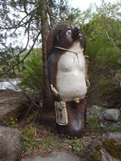
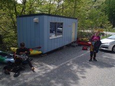
Put-in: We got stopped by a gate... same thing happened last year. I think the gate opens after the season ends most years. We parked here and hike just a short quarter mile or maybe a half mile up to where the gravel bar above the dam was visible and put in here. We knew there was a 10-15 foot falls in here somewhere and we wanted to make sure it wasn't above us, so Yoshi and I hiked further to check. Upstream, it looked manky... but we only hiked an additional half mile.
HTML Comment Box is loading comments...
