Weber River (Henefer to Taggarts)
| Stretch: | Henefer to Taggarts |
| Difficulty: | Class II |
| Distance: | 5.1 miles |
| Flows: | 300 to ?,000 cfs (I am sure the bridge needs to be portaged above 1,000... maybe lower). Check out American Whitewater's current flow gauge. |
| Gradient: | 20.2 fpm average |
| Put-in: | Parking at the Hennifer exit |
| Take-out: | River access at the Taggarts exit |
| Shuttle: | 5.1 miles (5 minutes one way) |
| Season: | Spring and Summer, release |
| Written: | © 2018 |
Jobless Summer 2019 Roadtrip:
Day 4 - Wind Caves Hike
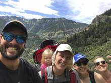
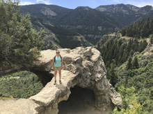
Waking up at Paul and Amanda Gamache's, the plan for the day was to head up the Logan River valley for a hike up to Wind Caves. The originally plan was to also kayak the Logan River, but the river dropped out the week before so not luck there. The hike though was quite pretty and gave us our first taste of the Wasatch Mountains.
Day 5 - Pipeline Bike Ride
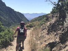
This day was going to be a chill day. Diane and I needed to go to REI to get our lost bike key situation taken care of and to get my tubeless tire replaced as it was past the end of its life, as well as head to the store for supplies. After a morning spent at the farmer's market with Paul and his daughter Penelope, we headed off and got our errands done. Once at REI we also spoke to the staff about biking in the area, and they recommended Pipeline trail which was nearby. So we headed that way. We knew we would have to climb up the paved road for about 2 miles to the top of the trail, but we didn't realize that 2 miles would be nearly 1,000 ft of gain. It was steep to say the least. Once on the trail we found the ride to be super friendly, mostly flat with nice views, and just a few steep descents. At the end of the ride however, the road had dropped significantly down and we ended up walking our bike through parts as the descent was super steep. We then headed back to Paul's for another night.
Day 6-7 - Mirror Lake Camping
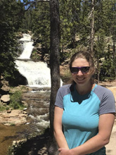
The next part of our stay in Utah was to go to the beautiful Mirror Lake for a night of camping. On the way to the lake we stopped on the way to look at Provo River. This "river" (its a small creek up here) has a few nice, tall, bedrock drops that are perhaps a bit on the slabby side of things with hard landings. We knew the water was going to be too low, so we didn't bother with bringing boats with us for the night, but it was fun to see.
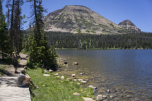
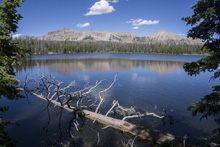
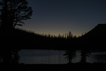
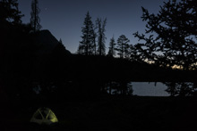
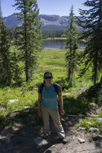
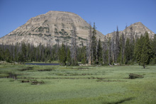
The lake itself was super pretty and we were able to get lake side camping without a reservation by luck. We spent the afternoon and morning walking around the lake and to nearby lakes, hanging out, eating smores, and just simply having a good time. That night, Amanda, who is a sushi chef, got supplies so that we learn how to make sushi.

Day 8 - Weber River
Our last day in Utah, we woke up and went off to boat a pretty class II section just out of Ogden along Highway 84. The section is just class II, but there was pleasant scenery to keep us entertained, and we met a couple of guys and one of their daughters, who it just happened to be's first day of kayaking on a river. So we paddled with them and were stoked at how well the daughter did. This section is rafted regularly so there were plenty of rafts to look out for. And one unique geological site in the river side feature called "Devil's Slide." I know that this section is a classic beginner run for the Salt Lake scene, so it was fun to boat it if for no other reason. Plus, I had never boated in Utah before!
We had 580 cfs, which felt like a fine low side of medium flow. I imagine there is no high end, though a bridge part way down would likely need to be portaged as the level gets over 1,000 or so. Also for reference, there is a class IVish section on this river, but it was too low for us. It is called "Scrambled Eggs" section and is downriver of this section, it runs between the highway directions and looks entertaining enough.
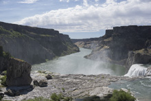
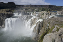
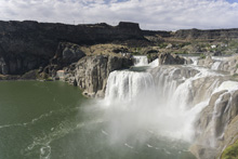
That afternoon, we returned to Paul's place and packed up our stuff. We then set off towards Twin Falls, Idaho which is on the Snake River near the Murtaugh Canyon section. I had a feeling it we wouldn't have time the following day to be tourists, so while Paul and Amanda found a camping spot, Diane and I went down river to the Shoshone Falls to sightsee for a few minutes before heading back to join them at camp. One final note, it is pronounced Weeber.
Previous: Jobless Summer 2019 Roadtrip - Day 2e: Arkansas River (The Numbers)
Next: Jobless Summer 2019 Roadtrip - Day 9: Snake River (Murtaugh Canyon)
Mi 0.8-1.3:
- Henefer Rock Garden (II+). The longest and hardest rapid of the run comes right out of the bat. I would generally stay in the left of center, away from the rocks on the shores. Some decide to put in at the bridge downstream to take this section out of play.
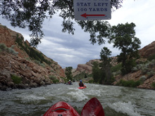
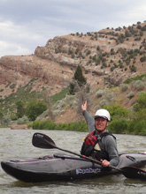
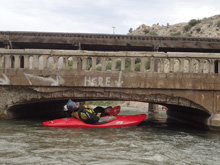
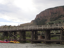
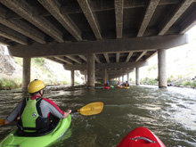
- Low Bridge (II to U). Go under the bridge on the far right, it is a tight fit at even the lowish 500 cfs flow. At high flows I imagine you have to portage, so stay on your toes. Portage is on the right I believe.
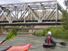
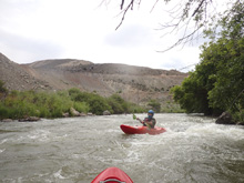
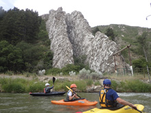
- Devil's Slide. This cool rock formation is river side on the left, just after you pass under the freeway.
- Croyden Wave (II). This is a ramp into a wave hole. It is just a big class II, but does have some elevation drop in it.
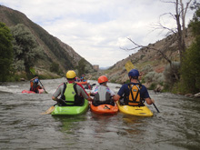
- Highway Rapid (II). The river runs under the highway for a few hundred yards. There is some class II under it, it is all mellow enough, but apparently there is rebar under water, so be careful in this section.
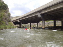
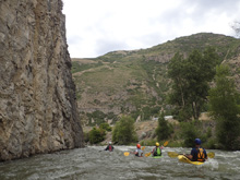
- Taggerts Falls (II+). If you want to skip this one, you can take out immediately after the railroad bridge upstream. This rapid runs along the rock wall, careful for the wall. Also, the right side becomes rockier so we basically ran down the left with care for the wall. Take-out is immediately downstream.
Take-out: From Salt Lake City, head North to I-84 and take it East. From the US-89 / I-84 interchange it is 20.4 miles. Take the exit toward Taggart and turn right, this drops immediately to the river access in 100 ft.
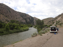
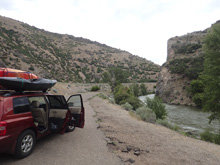
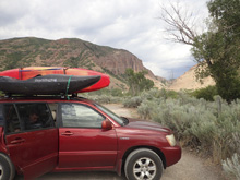
Put-in: Continue east on I-84 for 4.2 miles. Take the exit toward Henefer. Turn left to cross under the highway and then go with the bend to the right to go up the river to the large parking area with river access.
HTML Comment Box is loading comments...
