Arkansas River (The Numbers)
| Stretch: | Below Pine Creek Rapid to Raiload Bridge |
| Difficulty: | Class IV |
| Distance: | 5.3 miles (or 5.9 if you go down to the railroad bridge) |
| Flows: | 400 to ?,000 cfs (desperation drives folks lower and I know folks run it higher, but I am sure that gets burly too). Check out American Whitewater's current flow gauge. |
| Gradient: | 65 fpm average |
| Put-in: | Access below Pine Creek Rapid |
| Take-out: | Raiload Bridge off of Rd 371 |
| Shuttle: | 5.5 miles, 10 minutes one way, some nice dirt. |
| Season: | Spring and Summer from snowmelt |
| Written: | © 2018 |
Jobless Summer 2019 Roadtrip Day 3b:
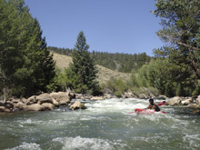
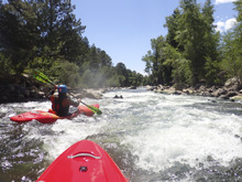
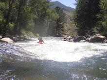
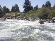
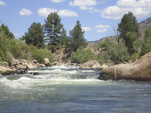
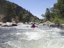
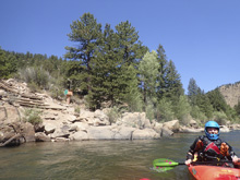
So, after boating down the Pinecreek section, we continued down through Numbers. The 550 cfs we had on this section was obviously lower than ideal, but still entertaining enough. This run is good like that I guess. People run it at many thousand as well as at a few hundred. Must be a nice resource to have for the boaters in Buena Vista. And certainly, a large part of what contribute to it being a classic run. At the low flow, I thought the run was pretty chill. Some rapids were approaching class IV, but I would say on the easy side of it. I imagine that there are flows where they get the class IV bite that you would expect. As it is, there are 5 or 6 rapids, depending on where you take out, of note. We ran through all six and then took out not far below. I thought that there was some nice enough boogie interspaced within as well. One thing that actually surprised me a little though was that the scenery was sorta blah. It was road side, and I felt like we were mostly just boating in a shallow culvert. That is when it dawned on me that it is classic for its flows, its fun moves, and its rafting business, but not for a full package. But oh well. If you want scenery, head a ways downriver to the Royal Gorge section, by all accounts that section is very pretty. But, since it is 10-11 miles long and we had a 9 hour drive ahead of us, that run was not an option to add on for us.
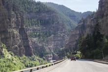
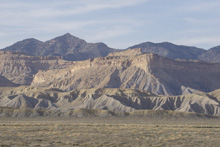
As it was, after spending a bunch of time looking for the bike keys (see the previous write-up for that story), we finally gave up and began driving. The plan was to get to Ogden, Utah that night, where we would stay for a few days and visit with Paul and Amanda Gamache. Friends of ours who we hadn't seen in a few years. Finally, after a good long drive, we arrived at their place at 11 pm that night.
A quick note on the names of the rapids, these are the actual names... they are numbers. Hence the name of the section. Unlike all my other write ups where I sometimes give a generic name using a number.
Previous: Jobless Summer 2019 Roadtrip - Day 3a: Arkansas River (Pine Creek)
Next: Jobless Summer 2019 Roadtrip - Day 4-8: Weber River (Henefer to Taggarts)
Mi 1.15:
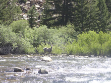
- Number 1 (IV). A nice long rapid which had some fun boogie. We started right of center and then finished down the main channel left of center.
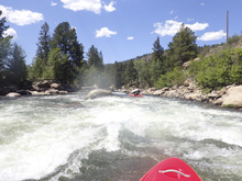
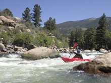
- Bridge: You cross under the bridge that you turned left before on your way to put-in.
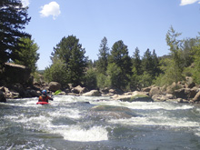
- Number 3 (III to IV). They were taking pictures here. The crux was a ramp at the top followed by some waves holes below. The ramp was fine at low flow, I bet there is a hole at higher flow.
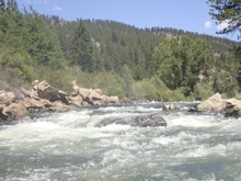
- Bridge: The 371 bridge crosses the river, there is access at it. It also marks that #5 is just downstream.
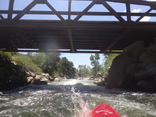
- Number 5 (IV). The biggest rapid on the run for sure. This one started with a ledge at the top that we ran just right of center. The river then bends left and goes through a few more holes. Keep it straight and punch them. Downstream there is fun boogie for a bit.
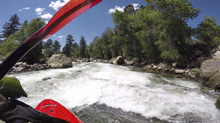
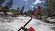
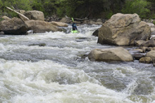
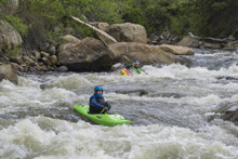
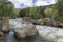
- Number 6 (III to III+). The river pics back up and then you find yourself in a bigger rapid. We ran down the left and went along the left shore to the bottom. There were some rocks and a hole or two to avoid, but it is all done on the fly.
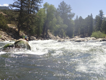
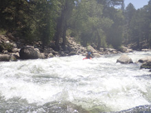
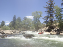
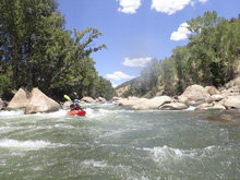
- Optional Take-out. On the left, though it isn't super obvious from the river so if you are using this take-out, you will want to walk the 20 feet down to the river to scout the take-out.
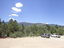
Take-out: From Buena Vista, go North on US-24 for 9.1 miles, take a right turn on 371 which is sorta non-descript and residential. You quickly cross a bridge, you can take-out here if you just want to run through #5 which is immediately downstream of the bridge. Or, turn right and head down the dirt road for however long you wish. We used the large turn out 2.8 miles down the road. In another mile there is a nice river access point at the railroad tracks.
Put-in: go back out to US-24 and head upriver (right). In 1.4 miles, look for a right turn onto a dirt road, take it. Before the bridge that crosses the river, take the left and head up the road road for 1.2 miles or so to the access area. I am not sure if it is allowed, but I will point out, that the first rapid is only just above the bridge at the start of the dirt road, there is a turn out and trail down just above it, it would save about a mile of flat water.
HTML Comment Box is loading comments...

