Arkansas River (Pine Creek)
| Stretch: | Granite to below Pine Creek Rapid |
| Difficulty: | Class IV to V |
| Distance: | 5.15 miles |
| Flows: | 400 to 2,000 cfs (desperation drives folks lower and I know folks run it higher, but I am sure that gets burly too). Check out American Whitewater's current flow gauge. |
| Gradient: | 61 fpm average (94 fpm from Pine Creek Rapid down) |
| Put-in: | Bridge in the town of Granite |
| Take-out: | Access below the Pine Creek Rapid |
| Shuttle: | 7.2 miles, 10 minutes, some nice dirt |
| Season: | Spring and Summer from snowmelt |
| Written: | © 2018 |
| Featured in A Wet State #140 | |
Jobless Summer 2019 Roadtrip Day 3a:
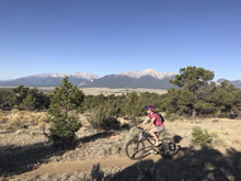
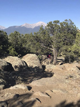
Waking up in the morning, we found that the "campsite" that we located the previous night was in fact a bike trailhead. So, first things first in the morning, we decided to go for a short ride. The initial part of the ride was down the hill with the subsequent part being back up towards the car. Quickly we realized that the altitude was high as our breath was heavy. I got the easy out though as with about a mile left of our short ride my tubeless tire sprung a leak. As this was the 3rd or 4th time in recent months that I had to add more stans into it, I decided that soon on this trip I would have to replace the tire. After Diane finished the ride, and I finished walking my bike back to the top, we headed out for the river.
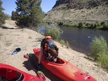
We wandered briefly through town, stopping to fill up our water, before heading to the take-out of the Numbers. The plan was to kayak Pine Creek and Numbers sections for a good stretch of whitewater to spend a good amount of time on the river. We left our bike and headed to put-in, where we got changed. This may seem like overkill of information... but the reason I am sharing this play by play is because at the end of the day, when we went to lock the bike back on... the bike lock keys were nowhere to be found. I think they were left at take-out. Diane thinks she gave them to me and I lost them while getting changed at put-in. I think we know who is right... regardless though, this meant that my bike was locked on the rack with no way of unhooking it and Diane's bike was not locked on. It took us a few days before we got to an REI and were able to get a new key. Luckily, REI's have a full Yakima key set so you can unlock the locks (or lock) and ID which key you need. Some REIs carry the actual keys to sell as well, this REI had one of the keys and we had to order the other, which we had shipped to the hotel we would be at in a few days. For the time being though, we used another cable and combination lock to safeguard the bikes but still render them usable.
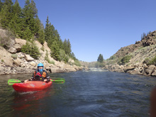
So anyways, this section of the river was super nice, though certainly very low. There was a nice short gorge section before a dam that we portaged. Below, there was another nice canyon section before the river opened up. This was the last respite before the river entered the crux of the run and the famous Pine Creek rapid. We scouted the rapid from the top, and were pleased to find 1) rafters setting safety at the hole and 2) the hole was totally benign due to low flow. When only boating with 2 people, holes that may swim you are an issue because you have to decide whether to set safety which on the long rapid takes time as well as limits ability to give chase if they head downstream, or run it together so that you can give chase if something happens. With the rafters there, the decision was easy to run it together! Below, I was surprised by getting to several more fun rapids that I didn't anticipate before quickly getting to the take-out. We of course continued downriver though into the Narrows.
We had 550 cfs which was for sure low. I wouldn't say it was an ideal flow by any means, but it was still plenty of fun and worthwhile none-the-less.
Previous: Jobless Summer 2019 Roadtrip - Day 2e: Cache la Poudre River (Bridges)
Next: Jobless Summer 2019 Roadtrip - Day 2e: Arkansas River (The Numbers)
Mi 0.9:
- Mini-gorge (III to IV-). After a brief flat water paddling in, you round the left corner and have a few nice rapids to get started. We ran them all down the middle, but I wonder if the first one gets a decent hole as flows come up. I don't know personally, but I think it is possible. The rapids continued around the next straight away too.
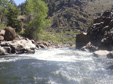
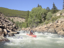
- Dam (IV+ to P). You can see this dam from the road while driving shuttle. We walked I on the left easily. It wasn't tall but at the low flow it looked super junky, though there was a line. I imagine at higher flows it cleans up nicely and is perfectly runnable. Update 2021: There is now a boat chute on the left side of the river that creates a rather fun class III+ rapid with a series of ledges and holes, that with a playboat could offer some nice surf. What a nice addition in the past few years!
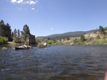
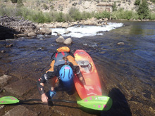
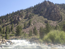
- Clear Fork Confluence. The Clear Fork of the Arkansas enters on the right. There is nice camping up that river and a nice section of river too, though I haven't gotten to do it.
- Fun and Busy (IV). You will bend right and enter a nice busy section of whitewater. Not huge rapids but sorta class III to IV busy leading to an overall class IV vibe. I imagine as water levels increase the rapids get more punch. For us, there were no major holes but a few rock piles to dodge. It then flattens out for a valley.
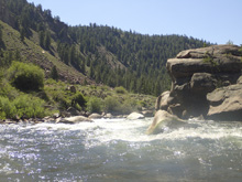
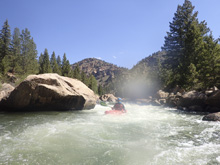
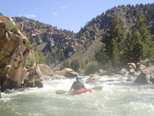
- Railroad Bridge. You can see this from the road, it is in a scenic open valley. It looks super slow but actually paddled quick.
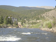
- Pine Creek Rapid (IV+ to V). This is the main event for the run. You can actually put in just above it too if you don't want to do the paddle in. Also, you can scout it from a turn out before dropping in as well. We scouted on the left once on the water using the fire road to walk down the long rapid. The entrance was run down the left to avoid a large midstream hole. We then worked generally right of center through the next busy section, there was a big hole half way down on the left that I imagine is huge at higher flow. Then you get to the "S-turn" move of the rapid which it is famous for. The S-turn is fast and ends in a small ledge above a large pour over. At low flow the pour over was nothing, small, in consequential. At higher flows though it is massive. Most run left of it, as much as possible anyways. Scout and set safety at higher flows for sure.
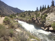
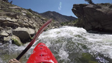
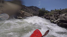
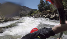
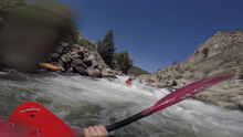
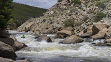
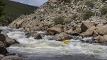
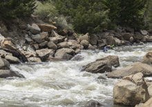
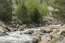
- Triple Drop (IV to IV+). Basically, this is the exit of the Pine Creek Rapid. We ran right of center through a few holes. It didn't hit me as something that would have the "Triple Drop" name, but who am I to argue.
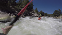
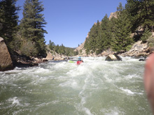
- Boulder Gardens (III to IV). Downstream, boulder gardens start immediately and go for a half mile. Careful as there are a few undercuts and slots to negotiate. They weren't hard moves, but I would say very high pressure class III moves which leads to a potential class IV rating. At higher flow I bet the rock situation cleans up but this section starts to get more hydraulic bite.
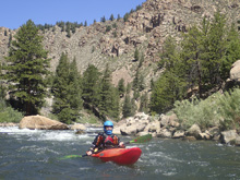
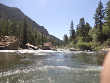
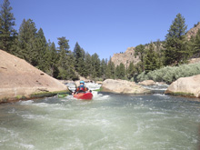
Take-out: From Buena Vista, go North on US-24 for 10.5 miles. Look for a right turn onto a dirt road, take it. Before the bridge that crosses the river, take the left and head up the road road for 1.2 miles or so to the access area. I am not sure if it is allowed, but I will point out, that the first rapid is only just above the bridge at the start of the dirt road, there is a turn out and trail down just above it, it would save about a mile of flat water.
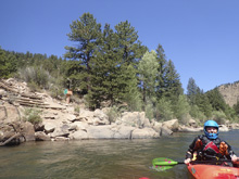
Put-in: Go back out to US-24 and continue up river (right). Follow this for 6.0 miles to the bridge over the river in the small town of Granite. There is access on the far side of the river.
HTML Comment Box is loading comments...
