Venter Ache (Lower)
| Stretch: | Venter Tal to Zwieselstein |
| Difficulty: | Class IV |
| Distance: | 2.65 miles |
| Flows: | 200 cm to 250? cms on Ötztaler Ache. Check "The River App" |
| Gradient: | 141 fpm average |
| Put-in: | Bridge in Venter Tal |
| Take-out: | Confluence in Zwieselstein |
| Shuttle: | 4.2 km (5 to 10 minutes one-way) |
| Season: | Spring to Fall |
| Written: | © 2016 |
Austria & More 2016: Day 12 Dusk
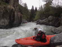
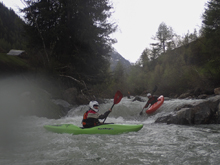
I will start by jumping back a little. On the Upper Ötz write-up I discussed that our day 12 started on the Heiligenkreuz (Holy Cross) section of the Venter. However, due to my back pain I was unable to join on a class IV to V run that had seen fatalities, and had at least one junky mandatory rapid. Known for its tight and committing canyon, I opted to test my back on something mellower and wait for the Upper Ötz which we did later in the morning. But, since this run is a classic that is run in fall as the glacial melt ends, I wanted to provide some info here. Early spring is usually a no go as there are avalanches in the gorge in spring, and even still in Fall you occasionally have snow bridges. It is worth scouting from the bridge just below put-in as the mandatory rapid is just downstream. They had ~195 cms on the Ötz when they put on which was a perfect flow. So see below for the map and a few pics.
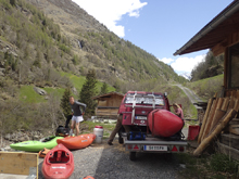
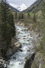
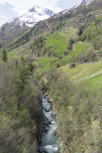
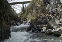
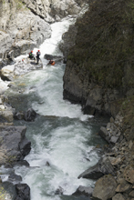
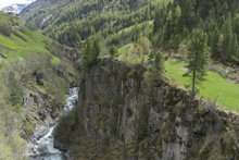
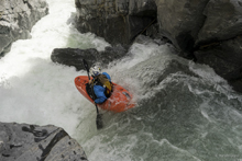
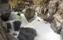
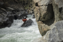
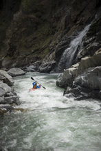
After running the Upper Ötz and the Middle Ötz after it, we drove back up to the Venter hoping for the peak diurnal. Harry had taken the afternoon off to hang out with his family, and his brother-in-law and his wife who were visiting. They had chosen to hang out at the take-out of the run which was nice because we were able to get updates on how the flow was doing. As 7 pm rolled in, we headed up the valley with word it had come up several inches, but still not as much as we had hoped. With my fingers crossed that it wouldn't be too scrappy (bumpy on my back) we pushed off.
The river ended up being fine, sure it was a smidge on the low side by no real complaints. The river had some nice small canyons that weren't overly committed but gave the feeling of being on secluded run. Which is surprising since the road was never actually that far away. The rapids themselves were a fun mix of class IV and at our flow maybe one class IV+ as I recall. I can imagine as flows come up, hydraulics bigger, and recovery shorter, this run moves into a class IV+ realm.
There is no gauge on this one. We had 205 cm on the Ötz at the time we did it. The water on the Ötz comes from this creek and another runnable trib which combine in the town of Solden to become the Ötz. The creek shouldn't look rock free when you stand at put-in. It should look a little busy.
Thanks to Harald and Reiner Glanz and Jim Janney for sharing photos and for making the trip possible!
Last: Austria & More 2016: Day 12 Evening - Ötz (Middle)
Next: Austria & More 2016: Day 13 Morning - Ötz (Lower)
Mi 0.0: Mi 0.3:
- Maze (III to IV). A standout crap comes with large boulders constrict and divert the flow into a fast s-turning maze. It was actually straightforward, but quite fun. Just follow the flow.
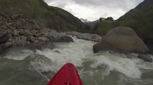
- First Gorge (III). The first gorge had a fun rapid against a shear right wall. Just got with the flow. The exit of the rapid was read and run boogie.
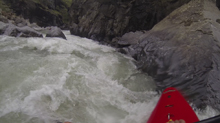
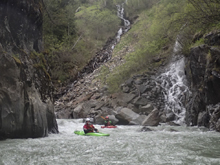
Valley (II to III). The first gorge quickly opened into a valley with mostly boogie though there was one more constricted drop in there which had several lines through a rock wall.
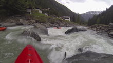
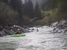
- Second Gorge (IV to IV+). The second gorge had a long lead in rapid before getting into the gorge itself. I think this rapid was actually the hardest of the run. Once in the gorge, it was boogie class III- or so.
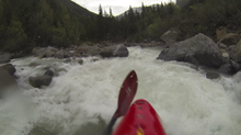
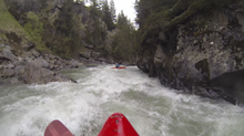
- Third Gorge (III to IV). The third gorge had a longer boogie rapid that ended in a ledge that we boofed off the right off. It was one of the more fun moves of the run.
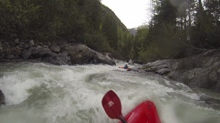
Boogie (III). The boogie continues as the river again opens into a valley. The final few hundred yards to the take out contain some great read and run.
Take-out: From Innsbruck, take A12 West for 47 km. Take B186 South towards Oetz. Follow B186 for 41 km to and through the tourist town of Soelden. As you enter the village of Zwieselstein get off of B186 before crossing the river, turning right on Venter Landesstraße. Just a few hundred yards up the road you will see a dirt road dropping down to the left quickly to the river. This is take-out.
Put-in: Continue up the Venter for 3.8 km. Turn left on Haslpuit which drops towards the village of Venter Tal. Park on the road and walk down to the small bridge over the river.
HTML Comment Box is loading comments...

