Ötztaler Ache (Middle)
| Stretch: | "Middle Ötz," Winklen to KÖfels |
| Difficulty: | Class V |
| Distance: | 1.75 miles |
| Flows: | 180 cms to 250+ cms. Check "The River App" |
| Gradient: | 207 fpm average |
| Put-in: | North side of Winklen |
| Take-out: | Bridge to KÖfels |
| Shuttle: | 2.9 km (5 minutes one-way) |
| Season: | Spring and Fall (mostly high in summer) |
| Written: | © 2016 |
| Featured in A Wet State #116 and in A Wet State's contribution to World Kayak's Video Guide | |
Austria & More 2016: Day 12 Evening
With the pain in my back beginning to creep back onto me, I decided to take a half dose of the pain killers while we scouted. I have never been one to drink or do any altering substances prior to kayaking, I always want to be at my sharpest. But I think in this instance, having already missed out on 3 runs on the trip, a little "Fear of Missing Out" or FOMO go the best of me. Thankfully though, the river allowed it.
Prior to putting on we scouted a few sections. We scouted up from the lower bridge, and down and up from the upper bridge. We then also scouted the first rapid which is by far the most consequential on the section. All of these are easy to scout from the road. Thanks to the low side of medium flow we had, eddies were still plentiful enough to break the rapids up as well as to get out and scout when needed.
This run looks like a bit of a mixed bag from the road honestly. I was thinking it looked very continuous, not a whole lot of individual moves, and certainly very consequential. I cannot even imagine what it is like when people do it at 260 cms compared to our 205! But once we were on the water, and past the first move of the entry rapid, the river was surprisingly fun. Despite the non-stop character, there were unique and distinct moves to make, just all staked up on each other. If you haven't done the run before, there are a couple of long river level scouts that you will likely make as many times you don't know you are in something bigger until it is too late. So error on the side of caution!
While this run is nowhere near as steep or as hard as the Wellerbrucke rapids downstream, it is a serious place that is challenging in its own right. So, approach with caution, but have some fun! After our run, we headed back up the canyon back to the Venter, in hopes that the river would have risen enough to run the lower section of the river...
I should also point out, that the section just downstream is also supposed to be good class IV to IV+ from what I have read... though verbally I was told it was more like class III to IV. I believe it adds another 2 km to the run or so and is considered a different section.
2023 Floods Update: Massive floods ripped through the valley in August of 2023 and changed every section of this river. Use this guide as only a general skill required, distance, and gradient and not for detailed beta as it is all from before the floods and should be treated as highly suspect.
Thanks to Harald and Reiner Glanz and Jim Janney for sharing photos and for making the trip possible!
Last: Austria & More 2016: Day 12 Afternoon - Ötz (Upper)
Next: Austria & More 2016: Day 12 Dusk - Venter (Lower)
Disclaimer: I don't rate many of the individual rapids as V, but they are completely linked up, so in total it certainly felt like a class V day.
Mi 0.0:
- Warm-up (III to IV). The first 100 yards is flat, but as you turn to the left, the river picks up. Stay on your toes if you haven't scouted the first rapid yet as you will want to eddy out on the right to take a look.
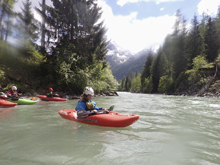
- Entry (V). The first rapid is the most ugly. The entry move has main channels that are chalked full of crap rocks. You want to enter right and then exit right. Or you can portage easily this top move. Below, the rapid goes over a few holes before there are eddies to catch. Just stay right.
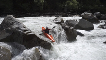
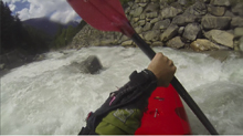
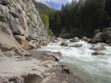
Between (IV+). Downstream, the rapids are non stop, but there are plenty of eddies to catch (at 205 cms). We were able to read and run our way down it.
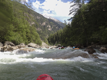
- Pre-Bridge #1 (IV+). We stopped and scouted this one, I think at some flows the hole can be worse. For us it was straight forward to run down the right.
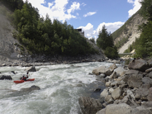
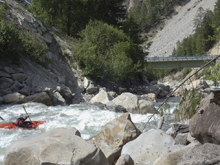
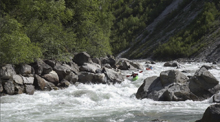
Pre-Bridge #2 (IV+). A rocky congested rapid. We entered far left and stayed far left.
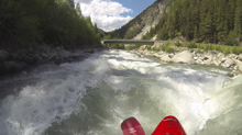
- Ledge (IV). As you pass under the bridge, make sure you have taken a look at the slide just below. This slide was best run far left of center where an kicker would auto boof you over the hole. At high flows I imagine this hole is horrible.
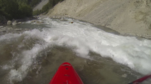
Between 1 (IV+). Downstream the river split into two channels, from our scout before the run the left looked like it would be harder to scout in one go while the right looked potentially boat scoutable. As we approached, we opted to get out to scout on the right as we couldn't tell what the mushroom would have behind it. As it turned out, after the busy lead in, you could go left of the mushroom, off the top of it, or off the right of it. We ran each of those options. Below, some boogie leads to a nice eddy on the right.
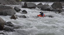
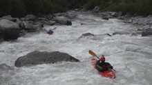
Between 2 (IV). The second part of this section had a couple of ledges that we boat scouted. We ran the first left and the second on the far right.
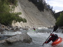
- 2nd Bridge (V- to V). One of the bigger rapids on the run. There was a sneak starting far right before rejoining the main flow below the top holes. There was a meat line down the middle of the left channel which required boofs over several holes which would push you around prior to the ledge hole where the flows rejoined. Or you could run down the right of the main left channel which was a main line but avoid the unpredictable lead in holes. We all opted for one of those lines. Below the flow recombining the river went down a ramp into a fast moving hole that wasn't too sticky.
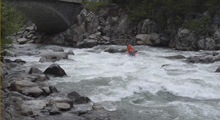
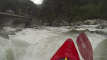
- Boogie (IV to IV+). Downstream, the boogie becomes more continuous and it is hole dodging type of rapids. There were a few to avoid, but we were able to boat scout it. I am sure at higher water it can become pretty fun in here!
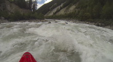
- Last (IV+). We hoped out and scouted this one. The middle had a thin line with big potential to eat shit on a midstream rock. So we decided to run down the right into an offshoot channel which avoided the middle part at the top. We then ferried behind the first of the bad sections in the middle and exited far left, away from the second back section in the middle.
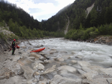
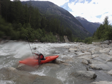
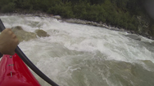
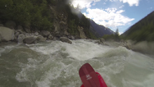
Boogie (III to IV). Downstream the boogie got easier all the way down to the bridge. Just below the bridge is a pile of crap rapid that was a landslide dam that is steep and rocky. We took out above it.
Take-out: From Innsbruke, take A12 West for 47 km to the junction with B186. Take B126 South towards Oetz. Follow this for 17 km, you will see a sign for the road to KÖfels. Take it, the bridge which you cross in 100 m is the take-out.
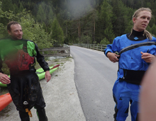
Put-in: Continue on B198 for 2.9 km to the town of Winklen. As you round the corner and begin to enter the town, there is a parking area on the right.
HTML Comment Box is loading comments...
