Ötztaler Ache (Lower)
| Stretch: | "Lower Ötz," Oetz to the Inn |
| Difficulty: | Class III to IV- |
| Distance: | 4.7 miles on Ötz and 2.55 Miles on the Inn |
| Flows: | 180 cms to 250+ cms. Check "The River App" |
| Gradient: | 75 fpm on the Ötz and 22 fpm on the Inn |
| Put-in: | Bridge in Oetz |
| Take-out: | River access in Magerbach |
| Shuttle: | 12.2 km (15 minutes one-way) |
| Season: | Spring to Fall |
| Written: | © 2016 |
Austria & More 2016: Day 13 Morning
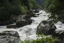
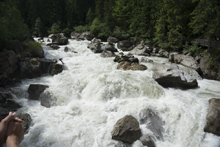
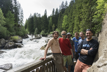
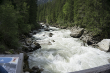
Waking up on the Ötz, the original plan was to head to the Venter to do the Heiligenkreuz again. I had missed it the previous day due to my back, and the rest of the group loved it. But, waking up to warm weather we found that the river had risen and had moved this run into the "too high" range. So instead, we headed downriver. The plan was the scout the Wellerbrucke section of the Ötz which was also reading on the high side... but it had been run at those flows, so why not stop to take a look. For me it was a tourist stop... maybe for Reiner and Jim it was actually to scout. Arriving at the Sickline course we see it is in fact very high. No one is interested, though Jim probably would have been game if we weren't all so willing to hightail it out and head to our boats downriver. But eitherway, it was nice to at least see the section. The section is commonly only run in Fall as the glacial melt ends and actually extends upriver from what you see in the race. Also, immediately upriver of the entire section is another gnarly section that puts the Wellerbrucke to shame... the Achstürze. Worth taking a peak in as it looks terrifying with a late spring flow!
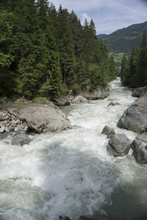
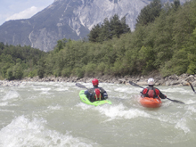
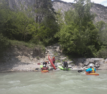
Heading down to put-in, Jim and I hung out with our gear while the guys ran the shuttle. Jim had another crack to repair in the boat he was borrowing. His third of the trip. When the guys returned we walked up the river to run the "slalom section" which is the first few hundred yards. Below, the run continues, with surprisingly nice scenery despite the nearby road and towns, the mountains manage to rise high above providing constant vistas as you work your way downriver. The river is all read and runnable though perhaps would offer a challenge for the typical class III to IV boater. One thing to note is the weir that necessitates a portage at mile3.2. Below, busy rapids take you all the way to the Inn river, where big water wave trains greet you to surf or kickflip to your hearts delight.
After getting off of the river, we headed up the next drainage over for a run that we found in the German guidebook that held some promise, the Pitzebach. Driving up the river we found first, that the water looked low. Then as we went higher we found a new diversion... and then the water looked healthy. But the river was non-stop class IV in a micro creek environment with an occasional V and LOTs of wood. Arriving at put-in, we all contemplated it for a while before thinking better on it... to be honest, to safely descend this river would require scouting it on foot. There was one tight gorge where the road pulled away that we knew nothing about, and honestly I don't think any of us wanted an adventure at 4 o'clock in the afternoon. So with options limited, Thomas suggested the Sanna which was not too far away. So, away we drove for some fun class III to IV on a river with plenty of water.
2023 Floods Update: Massive floods ripped through the valley in August of 2023 and changed every section of this river. Use this guide as only a general skill required, distance, and gradient and not for detailed beta as it is all from before the floods and should be treated as highly suspect.
Thanks to Harald and Reiner Glanz and Jim Janney for sharing photos and for making the trip possible!
Last: Austria & More 2016: Day 12 Dusk - Venter (Lower)
Next: Austria & More 2016: Day 13 Afternoon - Sanna (Lower)
Mi 0.0:
- Slalom Section (IV). Hiking up from the put-in bridge for 0.2 miles gives you the hardest section of the river. It is just class IV, but there are numerous slalom moves to practive here. A really high quality boulder garden section.
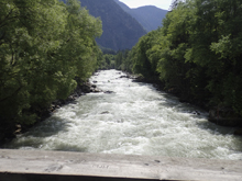
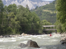
Boogie (III). Downstream the boogie continues. The section below the Slalom has some nice class III before it peters out a bit to more continuous II with occasional III.
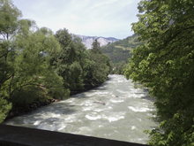
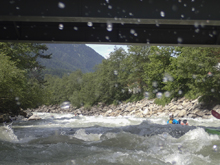
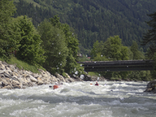
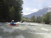
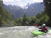
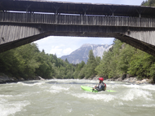
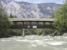
- On the Curve (III). I remember one really fun one that was as the river bent right just a little and there was a collapsing footbridge down below. The river funneled down a nice wave train into a fluffy hole at the bottom that we punched.
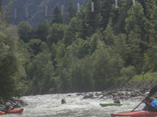
- Weir (U). It is a artificial weir that stands maybe 10 feet tall and has a huge horrible hydraulic. We portaged easily on the left.
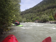
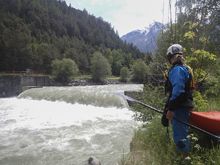
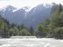
- Island (III to IV). As we rounded a left bend the river split around a gravel bar island. The rapid downstream was probably the biggest of the section below the Slalom section. We ran down the center moving right as I recall. There were several holes to punch. Really nice fun.
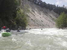
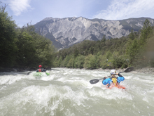
- Confluence: Not long after you pass by Area 47 which is an amusement part, you will hit the Inn River.
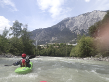
Boogie (III-). The first half of the Inn has some really nice wave trains and no real holes to note. The second half winds down much more to class II.
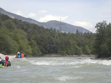
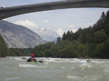
Take-out: From Innsbruck, take A12 West for 37.4 km Near the town of MÖtz exit and cross over to the B171 which runs parallel to A12. Continue west for 5.9 km to the right turn on Alte Bundesstraße. Follow this for 2.25 km. Just after you cross the Inn look for the parking lot on the left.
Put-in: Go back to B171 and continue for 4.2 km to the junction with B186. Take this towards Oetz. Follow for 5.3 km to the town of Oetz. On the far side of town, take the last right and use the parking lot there to access the river. Rafters also use this location.
HTML Comment Box is loading comments...

