Toaroha River (Lower)
| Stretch: | Below T-Canyon |
| Difficulty: | Class III to IV (IV+). |
| Distance: | 1.55-1.95 miles (depending on if the gate is open) |
| Flows: | 700 cfs to ?,000 (visual). Holds water very well after rain |
| Gradient: | 86 fpm average |
| Put-in: | Where the trail and river meet |
| Take-out: | Farm near Middlebranch Rd |
| Shuttle: | Hike. 2.0 miles (1.3 if the gate is open). |
| Season: | Year round after rain. |
| Written: | © 2017 |
| Featured in A Wet State #123 | |
New Zealand 2016/2017 Day 8 Afternoon:
After picking Diane up at the Christchurch airport, we headed back into the mountains with the goal being this short hike up run. The timing of our day dictated we needed a relatively short run as we wouldn't be getting to take-out of any run in the Hokitika area until close to 3 pm. This run fit the bill well for Diane who would surely be get lagged and crashing around that time.
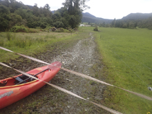
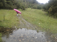
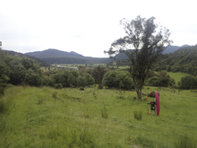
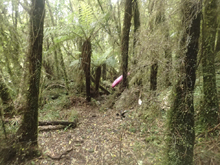
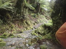
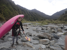
The run is short and is a hike up and paddle back, great for us since we only had one car anyways. The book led us to the take-out easily, where we studied up for the direction on the hike. Follow the old farm road and then look for a track leading up to the left into the bush. So, we began hiking... the gate was closed and locked so that added an extra half a km or so, we got to a fork in the farm road and followed it left as it looked like the "old" farm road. After a little bit of climbing we found an open meadow with a small track in the back left which led into the bush... and by that I mean it was a track sure, but it was totally overgrown. There was tape on the trees though so I felt reasonably good for the first 15-20 minutes that we were still working the correct way. It wasn't until the trail become completely overgrown and the mountain between us and the creek had grown into a large obstacle... it was at this time we went back down... and began looking in that meadow for another trail... which we found. This trail was in the back right of the meadow and was much more well traveled. So we took it... until it ended. We then looked around and found game trails and bush whacked all the while getting stung by stingy nettle before what would you know... we pop out on a farm road. By this time I had already realized that our must have been that we should stay on the lower of the farm roads early on... and it turns out that was correct. That road turns into a large trail which is very well maintained with elevated marsh crossings and everything. It is also flagged by large orange plastic triangles pinned to the tree. I view this as the second time the book failed me, after the Waiari Stream access debacle. I really don't understand why the author made it seem so much more challenging to find the trail and made it sound so much less maintained. Whatever the reason is... it took us over 2 and a quarter hours to do a hike that was meant to take 50 minutes. The group that got to put-in moments after us reported that they ran into the farmer who unlocked the gate for them, so they had a mere 20-30 minutes of walking. I really didn't want to hear about this. As it was I was getting destroyed by sand-flies and was pretty pissed about the directions we received. But in passing after our brief conversation, they mentioned there was another group behind them who were looking for 2 more for an Arahura trip the next day, so they may be right up our alley of interest. I said "ah cool" and paddled off.
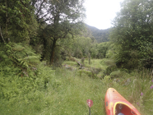
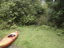
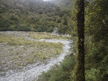
We thought we were going to need to rush... it was 4:45 or so at this point. We hit the water and boat scout the first few rapids with a quick jump out to scout a steep boulder garden. The water color was awesome, but we didn't take any pics or video. I hoped out at the big rapid to check it out in more detail and gave verbal to Diane and we ran through it. Downstream, we round a corner and see the open valley that marks take-out. 2.25 hours of hiking... for maybe 20 minutes on the water. Maybe.
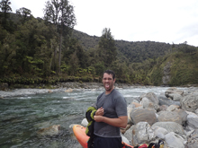
Through the run I had a little time to regret not sticking around to discuss with the other group the Arahura... so at take-out we waited around for maybe an hour for that group to come down. We decided to drive down to them as the gate was still unlocked... and because I am a moderately impatient person when I am frustrated. We introduced ourselves and mentioned the other group said they were doing the Arahura and asked if they could use two more... they happily agreed. In the end, it was serendipitous as we ended up camping and boating with them for the whole next week. A great group of guys from Australia, Jo and Will Hendriks and Will Stone. The following week we ended up boating a bit with some of their mates who we met later in the week too. So thank you to the two random local paddlers who mentioned that the group behind us wanted to do the Arahura and that we should talk to them! That changed the path of the trip for us, in a very positive way!
The run is worth doing, especially if you don't get lost. It is short, it carries water well past some of the other runs, and is easy enough you can run it while it is raining and other rivers are spiking. So, if you find yourself with either not enough, or too much water while in Hokitika, look here for a good time.
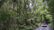
That night, we headed to camp at Lake Mahinapua which we were told is where a lot of kayakers crash, and also just happened to be where our new Australian friends were camping. That night we settled in, as the sound of rain started... and did not let up through the entire night.
Previous: New Zealand 2016/2017 Day 7 - Mitiri
Next: New Zealand 2016/2017 Day 9 - Totara
Mi 0.0:
- Put-in (III). Just below put-in is a nice little section to warm up on. Just read and run with the water.
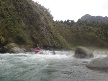
- Cascade #1 (III+ to IV). The first rapid of note is just around the corner. We ran down the right which was a boof over two tiers. The scout was easy on the right.
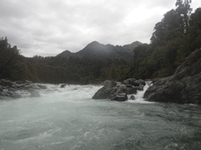
- Cascade #2 (III+ to IV). We boat scouted down the left which took us out of the main current. The middle would need to be scouted properly at our flow as it was quite rocky. Our of the left it was a fun rapid to rejoin the flow and punch a few holes.
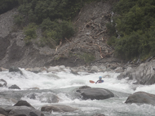
Downstream the rapids get more straight forward and easy to read and run with the flow.
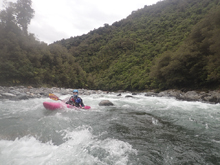
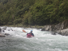
- Big One (IV to IV+). The biggest rapid of the run is also one of the last. It is long and ends in a hole. We ran down the center, boofing the edge of a few rocks and then lined up the hole and got our nose up. I think at higher flow this rapid would be harder, but who knows, if the bottom hole washes out then the rapid is likely easier.
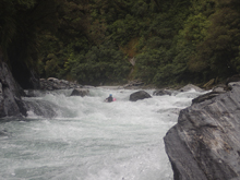
Around one more corner the canyon opens up and you get to take-out.
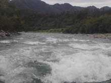
Take-out: From Hokitika, head up the Hokitika River on Kaniere-Kowhitrangi Rd. After 14.1 km turn left at the T onto Upper Kokatahi Rd. Head up the river for 11.1 km, you will eventually cross the Styx river, turn right shortly after onto Middlebranch Rd. Follow this for 2.3 km, crossing the Kokatahi before eventually getting to the carpark on farmland. If you are lucky, the farmer will unlock the gate and save a half mile of hiking for you.
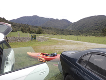
Put-in: From the carpark, head down the road onto the river level terrace. Near the furthest upriver point, look for a trail that is marked with orange plastic triangles on trees, follow this trail. It will take you briefly up a side creek before coming back on it self and cutting the corner of the river by going slightly up and over the ridge. It really isn't much elevation though so no worries. You will then come back to the river and the trail drops off a steep edge down to the river. This is put-in. Or you can continue carrying upstream but the trail is less established. Hiking from the Carpark usually takes about 50 minutes, 30 if the gate is unlocked. You can head further up by using the flood route trail and put-in at the exit of the T-Canyon but that turns into a 2 hour hike I am told.
HTML Comment Box is loading comments...
