Mitiri River
| Stretch: | Mitiri Valley |
| Difficulty: | Class III to IV |
| Distance: | 4.55 miles |
| Flows: | 700 cfs to ?,000 cfs (visual). Needs recent rain. 40 mm the night before we did it for a medium low flow. |
| Gradient: | 36 fpm average |
| Put-in: | Access along Mitiri West Bank Road |
| Take-out: | Access along Mitiri Valley Road |
| Shuttle: | 6.7 km on dirt road (10 minutes each way) |
| Season: | Year round after rain |
| Written: | © 2017 |
New Zealand 2016/2017 Day 7:
The previous day, after finishing the Tongariro Crossing, I had made arrangements to once again give a ride to the hitch hikers that were my safety crew on Tawhai Falls. However, despite their early start, and their knowledge that I was going to get an early start the following day with plans to head to Wellington earlier rather than later, they were no where to be found at the end of the hike where we had agreed to meet. I was beat so I laid down on the ground there and feel asleep for an hour and a half while waiting for them, when I received a text message that they would be an additional 2 more hours. I apologized but told them I wouldn't be able to wait that long and that they would have to find a new hitch to Wellington. I figured I was doing them a favor and need not adjust my plans for people I had just met. I really didn't want to get into Wellington at 11 pm and had 4.5 hours of driving to do. (can you tell I still feel a little guilty over this?) And with that, I headed off.
That day was new years eve... I arrived in Wellington at 7 pm or so and began looking for the carpark I read online allowed overnight parking. With no luck, I went to the ferry terminal to ask them if they knew anywhere I could crash in my car and they said since they had no more outgoing boats that night that I could sleep in the terminal parking lot. So, that was my New Years. Sleeping in the back of my car... with huge winds and rain slamming my car. I enjoyed myself some box wine and awoke to the sound of fireworks going off at midnight.
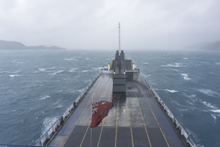
I awoke in the morning and hoped the ferry. As a side note, if you plan to take a ferry, especially around the holidays, book early. As in at least a month or two early as the ferries fill up. That morning the storm was still raging. I read that as long as it isn't northerly wind the ferries run well into the 100 km/h wind range, so I breathed a sigh of relief. On the ship, once in the open ocean of Cook's Strait I went to go to the bathroom, and found every stall occupied with sea sick folks as the ship was rocking quite a bit. Personally I spent most of the crossing up on the top deck with a warm coat under my rain coat, enjoying the sensation of being at sea.
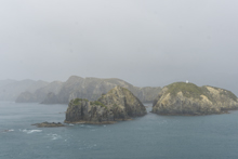
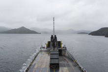
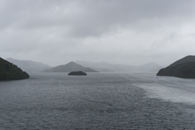
Due to the earthquake a month prior to my visit, the main road from the ferry landing in Picton to Christchurch was closed. I had to get to Christchurch to pick Diane up upon her arrival. The alternate route was through Murchison, where we just happen to have friends Jess and Daan. So with the alternate route being required anyways, I made plans to stop by their house and boat with them.
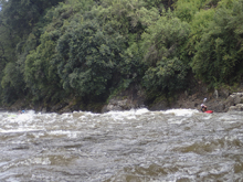
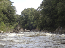
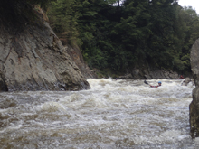
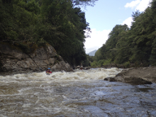
The Mitiri is not a normal staple for the Murchison area. It is quite good, but requires rain to get it going where as many of the other rivers in the area hold water significantly better. They suggested this river and I was happy to hop on it. The river started off with some mellow class II before getting going in a gorge where it stepped up to class III with some fun fluffy features and eddies that roiled as the water fought its confined space. The river then opens up and you expect to wind down only to run into one last obstacle, the main crux of the river which is a limestone boulder garden with hazards abound thanks to the jagged nature of the rock puzzle that has water flowing over it. Pick clean lines and avoid the rocks! This rapid approaches class IV depending on the line chosen. Below, the take-out quickly approaches.
After having dinner with Daan and Jess, I picked Daan's mind for some beta regarding the river as well as places to camp near Christchurch. With that, I set out driving to knock out 2 hours of the drive and get within one hour of Christchurch to make the pick-up of Diane a bit easier come morning.
Previous: New Zealand 2016/2017 Day 5 - Whakapapanui Stream (Tawhai Falls)
Next: New Zealand 2016/2017 Day 8 - Toaroha (Lower)
Mi 0.0:
- Put-in (II+). Directly below put-in is a small rapid that has a nice surfing wave at some flows.
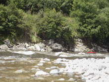
The rest of the first section has continuous wave trains and occasional surf wave, plus a lot of fun eddies to squirt on if you have a boat that is capable.
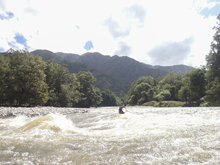
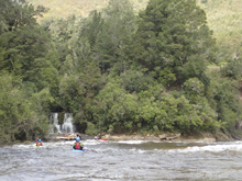
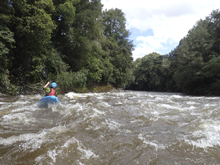
- Gorge (III to IV). The gorge had three or four sections of rapids to it, though it also felt more or less continuous. It started in an obvious constriction of the river and then continues for the next three quarters of a mile. Just follow the water. Though note, a swim would also be a challenge here as it really does keep moving downriver.
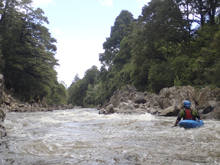
- Mellow (II+). This section of the run is mellow and pretty wide open.
- The road bridge crosses overhead.
- Crux (IV). The single hardest rapid is here. This rapid is full of jagged limestone blocks that result in a bunch of ugly spots. We started center and worked our way down to the right. There are a few hazards here, so error on the side of caution away from the rocks. There looked to be a mellower line on the far right. Downstream is quick moving flat water down to take-out.
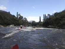
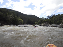
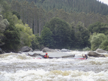
Take-out: From Murchison, head North-East out of town on State Highway 6. Just after the bridge over the Buller turn left onto Matiri Valley Road. Follow this down the Buller and then up the Matiri for 8.9 km. Park on the side of the dirt road near the opening in the bush to access the river. If you get to the road bridge over the river (on a T'd road) you went a km too far.
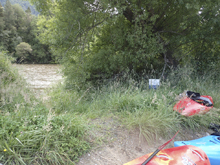
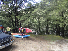
Put-in: Continue going up the valley. In Just under a km turn left and cross the river. On the other side turn right and continue up the river for 5.8 km. Park where the river makes a 90 degree left turn. That is put-in.
HTML Comment Box is loading comments...
