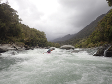
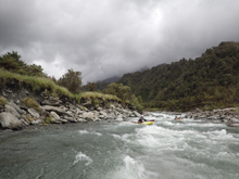
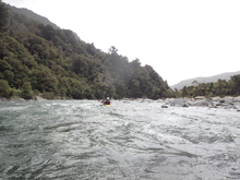
Styx River (Lower)
| Stretch: | Lower / Hike-in |
| Difficulty: | Class IV to V, then IV, then III, then II |
| Distance: | 3.55 miles |
| Flows: | ~500 to ~1,500 cfs. Visual only. Holds water well after rain. |
| Gradient: | 325 fpm for 0.7 miles. Then 107 fpm average |
| Put-in: | Where the trail gets to the river above the class IV/V stuff. |
| Take-out: | Trailhead on Dorothy Falls Rd |
| Shuttle: | 3.6 miles hike. Takes 1 to 2.5 hours typically. |
| Season: | Year round after rain. |
| Written: | © 2017 |
| Featured in A Wet State #123 | |
New Zealand 2016/2017 Day 10 Afternoon:
The Styx was our afternoon mission. It is a classic in the West Coast but is also hated by some because the hike is long while the harder whitewater on it is relatively short. I can imagine once you know the lines, the effort of getting up the river does become less worth the hike just due to the fact that the river versus hiking time becomes less balanced. The hike is supposed to take about an hour and a half. Non-locals regularly take 2 hours. Locals bang it out in under an hour. The record for hiking up it and boating down is apparently held by Barney Young when he did the whole thing in 59 minutes! For us, we took 2.5 hours partially due to Diane having major issues with the backpack system she borrowed from our Australian friends. I honestly didn't mind the slower pace as I was shouldering it and my back issue from the Reinbach Falls this spring was starting to come back to bother me.
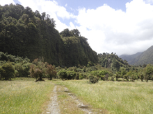
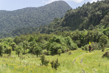
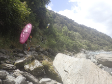
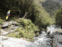
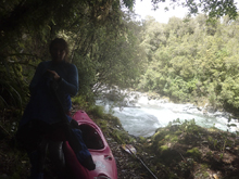
The hike itself is pretty mellow as far as kayaking hike ins is concerned. The first 2 miles of it is pretty flat... which acts as a demotivator as you spend so much time hiking up past super mellow whitewater. If you have a legit 4x4 truck you can cut the hike in a third by driving on through some marsh land on a 4x4 track. Once you pull up away from the river the hiking stays on a nice trail and accept for an occasional creek crossing stays in good condition. When the river gets next to the trail and you drop steeply off some bedrock, you are at put-in. Some choose to hike up to the top of the next rapid, but for me the effort did not look worth the return, so I put in there. Apparently, after the steepest rapids, you can rather easily bushwhack 2 minutes back to the trail and hike back up for laps. That would certainly make the overall effort of the day more worth while.
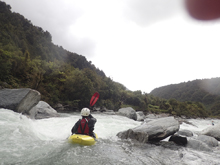
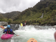
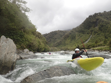
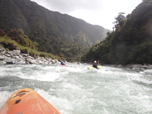
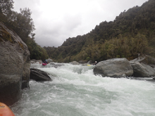
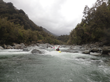
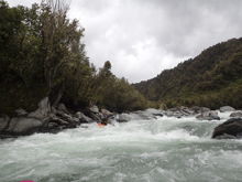
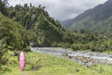
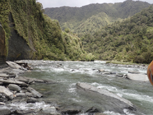
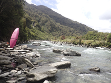
The rapids start with the worst and gradually take incremental steps down. The first two rapids are in the class IV+ to V- range (or V if you run a meat line) and then as the river bends to the right the river adjusts to solid class IV boating before it eventually begins to open up more and step back to class III for a few miles out to take-out. The water color is classic West Coast blue, the scenery is mountainous, but the river itself non-committing. Everything is easy to portage if you get up there and don't like the look of it. There were also sneak lines around the biggest of the rapids, which in my mind was the second rapid.
The other option to not do work and to paddle this river, is to take a helicopter up higher for the upper Styx which I have heard excellent things about. So if a budget is not a concern for you, that is always an option. As it was, I am glad we did the run. I thought it was fun and worth the effort. We were all smiles once on the river paddling. And I also think this was a great introduction to West Coast boating as this set the stage well for rivers we would experience later in the week... but is manageable and only a handful of rapids at that. It will let you know if you belong on the longer runs or not, that is for sure.
Previous: New Zealand 2016/2017 Day 10 - Kakapotahi River (Lower)
Next: New Zealand 2016/2017 Day 11 Morning - Glenroy
Mi 0.0:
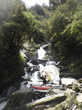
- First Rapid (IV+ to V). So honestly we didn't go up high enough to see it well. You had to climb steeply down and back up from the river and I was told our friend portaged it last time, so instead we just put on below.
Second Rapid (IV). One in our group ferried across and hiked to the top of this rapid to gain one extra rapid... plus a warm up for the stuff immediately downstream. It was straight forward multi-tiered drop with a few holes leading to a small ledge that can be run anywhere.
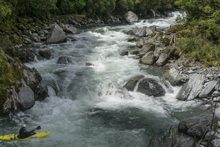
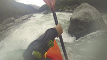
Put-in (IV+). Scout before putting on the right. The center was very sieved out so we went with the obvious line down the right. It was a few small steps down to a pillow off of a rock and a 90 degree turn which dropped 5 feet into a small pocket. We all hit it well enough and came straight through. We then eddied out on the right to scout.
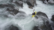
Slides (IV+ to V). We scouted on the right again. This one was a long rapid. There was a hero line down the right that had a big curler over a ledge into a big hole which then fed really hard into a ramp full of rocks. Not wanting to become intimate with the rocks, we instead choose to run a slot down the middle which led to a small boof one channel to the left of the hero move. This then led to a slide that was center. We then ran down the far left which led to a 6-foot-tall ledge that was non-vertical best run just left of center.
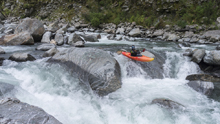
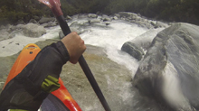
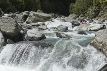
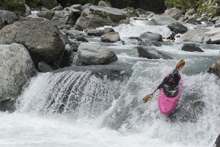
Boogie (III+ to IV). The next 100 yards was boogie that we ran with the main flow. Make sure to catch the eddy on the left at the corner to take a look at the next rapid.
- Pinball (IV+). This rapid marks the end of the steep stuff and is comprised of much smaller rocks than the rapids upstream. We started left and drove to a small channel in the middle which reconnected with the main flow. We then either boofed right off the exit ledge or ran left off of a slab that formed the ledge.
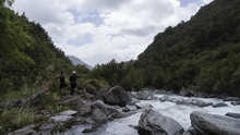
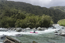
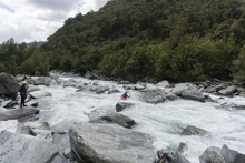
Class IV Boogie (IV). Downstream some great class IV boogie starts up... It was all read and runnable. We didn't get out of our boat again, and the nature of the rapids is such that I am sure everything changes every few years so I am not really going to bother doing a play by play. Just know, there were plenty of eddies, not too many hazardous spots, and just a few holes to boof or punch.
Take-out: From Hokitika, head up the Hokitika River on Kaniere-Kowhitrangi Rd. After 14.1 km turn left at the T onto Upper Kokatahi Rd. Head up the river for 12.7 km, you will eventually cross the Styx river and then in another km cross it again. A hundred meters after the second crossing you will come to a parking area for trailhead. This is where to park. If you have a legit high clearance 4x4 with super solid tires you can go through the gate and go to the end another mile up.
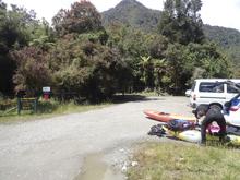
Put-in: Hike through the gate and across the 1.2 mile open field that goes along the river. Just follow the muddy 4x4 road. This will then lead to the end of the field which has a landslide at it. Cross the landslide close to the water, but not in the water and not high. Then, go up the gravel bar on the shore on the left or the next 0.2 miles (mile 1.3), at the end of the gravel bar there is an obvious trail that climbs briefly up on the left. Continue on the trail for another 0.2 miles crossing a creek before entering another open field (mile 1.5). Follow the trail which is near the tree line. After 0.8 miles it pops out at a dry river bed (mile 2.2), go up the dry river bed and rejoin the trail above. Continue on the trail, you will get to a nice overlook of the river not long after. At mile 2.75 you will cross a steep creek where you will cross mid waterfall cascade and you know you are getting close! Keeping going and where you get to a very steep spot of bedrock you can where the trail descends and then steeply climbs up the other side you can put in before, or go another 100 yards and put-in after (mile 3.6).
HTML Comment Box is loading comments...

