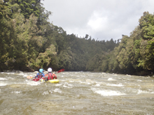
Kakapotahi River (Lower)
| Stretch: | Lower Canyon |
| Difficulty: | Class III to IV (V) |
| Distance: | 4.4 miles |
| Flows: | 500 cfs to 1,500 cfs. Visual only. Needs somewhat recent rain. |
| Gradient: | 76 fpm average |
| Put-in: | Downstream of the first canyon |
| Take-out: | Spur off of Happy Valley Rd |
| Shuttle: | 6.5 km dirt road |
| Season: | Year round after recent rain. But not too much. |
| Written: | © 2017 |
| Featured in A Wet State #123 | |
New Zealand 2016/2017 Day 10 Morning:
Daan suggested to me a few days prior that I find some local beta, or maybe even a local boater to lead for the upper Kakapotahi. The issue with that run is that there are a few rapids which are basically impossible to scout, one of which you have to hit in the right place or else you end up in a large sieve. Well, without finding a local boater for beta or for a lead, we settled on doing the much easier lower section of the river.
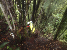
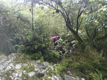
The run starts off with a steep muddy down climb to the river. This would honestly suck to do in reverse as the exit of the upper run. But at least it was short... 5 minutes of total misery or 20 minutes of complaining about it and going slow. Your call. Going down was pretty mellow but certainly dirty.
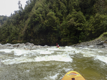
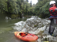
Once at the water we found the water low for this lower section. The river was class III up to the point of the gorge. The gorge has a significant rapid in it that we scouted on the right. It goes for sure, but without someone to probe it we opted instead for a portage. This portage is also the limiting factor of high flow runs on it. As the flow comes up too much, the creek you cross (or in our case, that we descended down) becomes impossible to cross. So don't venture in here too high unless you know you will run the gorge rapid!
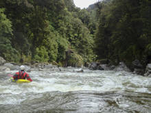
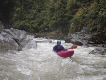
The rest of the run was fun class III to IV and the miles went by quick. Nothing needed to be scouted for us, but I am sure a class III to IV group may take a look at a few of them. The run was just long enough that it didn't feel short, but certainly was not even a half day worth of boating. So, rather than going up to run a lap, we opted to drive up to the Styx, for a more full afternoon of adventure.
The Kakapotahi is worth doing for sure. It is hard to line this up with the upper, as if the upper is low enough, this is likely getting too low. Our day probably would have been a good day to do both, but alas... we didn't. Oh also, this river is commonly referred to as the "Kakas" as it is less of a mouthful.
Most of this run at the low flow we had was non-descript rapids with obvious lines or many lines. Because of that not a whole lot stuck out in my mind.
Previous: New Zealand 2016/2017 Day 9 - Totara
Next: New Zealand 2016/2017 Day 10 Afternoon - Styx (Lower)
Mi 0.0:
- Warm Up (III- to III). From where we put in we quickly entered a small gorge that had some nice mellow rapids. They were all right down the middle as I recall. This was a brief warm up if you planned to run the big rapid below.
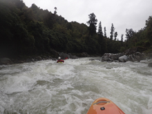
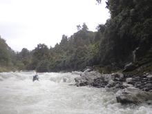
- Gorge Rapid (V). The river will open up briefly and then a class II rapid leads you to a gorge. Exit the river on the right before leaving the wide open area. The eddy was very small in 2016/2017. Scout on the right. The rapid is best with medium water when you can boof the left. At low flow you have to go down the middle which spots two big holes. At higher flows the holes become big. The additional hazard at higher flow is that the portage involves a creek crossing, which can be a limiting factor of being able to run this high. We choose to portage as the low flow made the drop look unappealing. Plus there was wood in the runout.
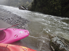
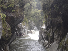

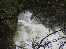
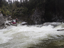
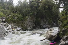
Boogie (III). After paddling through a nice flat water gorge below the Gorge Rapid, you get some read and run boogie.
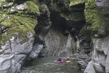
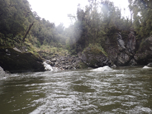
- Biggest Boogie (III to IV). This was an obviously bigger and longer rapid. We worked our way down the left and exited through a slot. If you follow the water to the right it braids out and would require boulder bashing to get to the bottom.
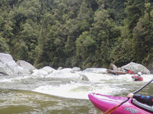
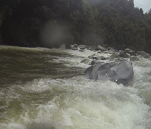
Boogie (III). More fun boogie awaits...

Take-out: From Hokitika, go south on highway 6 for 42.5 km (about 35 minutes). Just before the town of Kakpotahi and just after you cross the Kakapotahi river, take a left onto Happy Valley Rd. After 1.4 km you will get to a small dirt road on the left that drops down steeply to the water. Park on the main road here. The water is maybe a 5 minute walk down the hill.
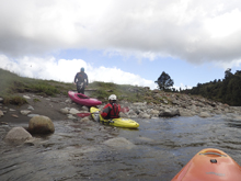
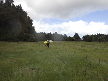
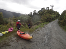
Put-in: Continue up Happy Valley Rd. The mapping isn't working perfectly on this one... but after ~5 km you will get to a fork, stay right. Then in 1.5 km you will get to a turn out on the left just as the river turns right. There was a rock stack marking the spot when we were there. There is a trail just up the road 10 ft from the turn-out that drops very steeply and muddily down to the water. The walk in takes 10 minutes and you will get muddy.
HTML Comment Box is loading comments...

