Glenroy River
| Stretch: | East Branch Glenroy to the Matakitaki |
| Difficulty: | Class IV to IV+ |
| Distance: | 1.5 miles |
| Flows: | ~250 to ~1,000 cfs. Visual only. Visual only. Needs somewhat recent rain. |
| Gradient: | 93 fpm average |
| Put-in: | East Branch Glenroy |
| Take-out: | Bridge just before the Matakitaki |
| Shuttle: | 3.2 km. 5-10 minutes one way. Good condition dirt road |
| Season: | Year Round. Needs a little rain but will hold water for several days. |
| Written: | © 2017 |
New Zealand 2016/2017 Day 11 Morning:
The previous night we had hung out again at the lake, drinking wine and cooking dinner while trying to stay warm and dry from the on-again-off-again rain. That night we had decided if we wanted to make it up to Murchison for Maruia Falls that it would need to be the next day. With the weather forecast clearing in the next couple of days we knew finally the helicopter missions would occur and then we would hit the road south to see Queenstown and Fiordland. When I passed through Murchison on my way form the Ferry to Christchurch to pick Diane up, I stopped briefly at the falls, but decided to purposely save it for once Diane was with me... ensuring that we would head north briefly and so that she could see Daan and Jess as well.
So, the plan was to wake up early and depart by 7:30 am to drive the 2.5 hours north. As we left we still had not gotten a hold of any of the groups of friends we had in the area so we planned to jog our shuttle. As we hit the road though, two groups of friends finally contacted me and we made plans to meet up.
The Glenroy is a great run that needs a somewhat recent rain but will hold for a fair amount of time as well. It is a staple of the Murchison scene and popular for its challenging class III to IV rapids as well as its pleasant canyon scenery. After meeting up with Matt Bennett at take-out, we set our shuttle while also running into our other friends whom I had met up North the previous week. The run starts in a wide open valley before closing tighter. As the walls get tighter the rapids become more class III. The Crux is just a short ways before take-out as the river bends left and a tight rock pile blocks your downstream view, below the action continues to just above the take-out bridge. Laps are easy on this run as the shuttle is short. Laps are also encouraged as the run is 45 minutes up a dirt road from Murchison proper so it is best to make the drive with it!
Previous: New Zealand 2016/2017 Day 10 Afternoon - Styx (Lower)
Next: New Zealand 2016/2017 Day 11 Midday - Matakitaki (Lower)
Mi 0.0:
- Paddle in (II). The first little bit is in a wide open valley which then starts to constrict. The first bit of the constriction is still pretty mellow... but this gorge does last the length of the run.
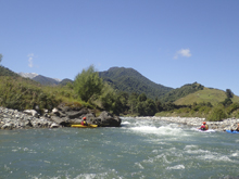
- Gorge starts (III). The gorge starts and you get some nice read and run class III. Note though, there are some bad places to be if you are in the wrong channels, however the main channels are good to go and obvious.
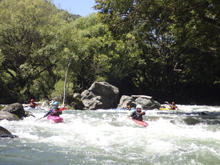
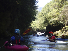
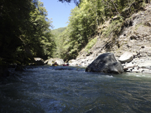
- Gorge Picks-up (III+ to IV+). A few nice long rapids pack more gradient then the previous drops. At the lowish flow we had, no holes were retentive, rather rock impacts was the hazard. At higher flow I imagine the continuous nature of the section from here to take-out makes it much more challenging.
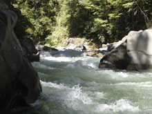
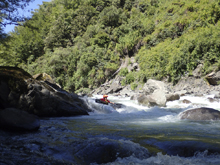
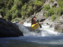
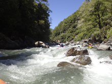
Slot #1 (III+ to IV). The first blind rapid is just before the left bend in the river at the end of one of the two or three long rapid mentioned above. There is a slot down the center/right that you want to run down the center. Eddy out right below as the most consequential drop of the run is below.
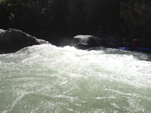
- Slot #2 (IV to IV+). There was wood in the normal line which is down the left making a 90 degree turn. The center is very sieved out. We had just enough water to boof a small slot on the right. At higher flow this could be sticky.
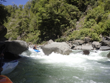
Exit (III to IV). I remember one more rapid directly below Slot #2. We just followed the water right and then left. You could pretty much see take-out from below as I recall.
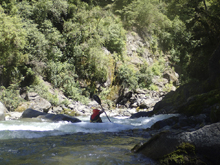
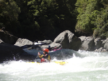
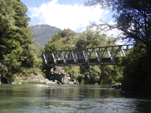
Take-out: From the town of Murchison, head up Fairfax Rd which parallels the Matakitaki River's East bank. Continue on this after it changes names to Matakataki Rd, onto dirt road for a total of 28.2 kms. Once you cross the Matakitaki River, stay right. Then at the fork, stay right again and turn onto Maruia Saddle Rd. Continue on this for a short 1.4 km and park just before the bridge over the Glenroy.
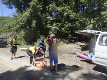
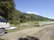
Put-in: Go back out to the Y, and turn right onto Glenroy Rd. After 1.8 km you will cross a creek. Park just on the far side of the creek.
HTML Comment Box is loading comments...
