Matakitaki River (Lower)
| Stretch: | Near Murchison |
| Difficulty: | Class III+ to IV |
| Distance: | 1.25 miles |
| Flows: | ~750 to ?0,000 cfs. Never gets too low. |
| Gradient: | 56 fpm average |
| Put-in: | Access on Matakitaki West Bank Rd |
| Take-out: | Access on Matakitaki West Bank Rd |
| Shuttle: | 1.25 miles (5 minutes one-way, dirt road) |
| Season: | Year round |
| Written: | © 2017 |
New Zealand 2016/2017 Day 11 Midday:
After doing the Glenroy we headed back into Murchison to get a quick bite to eat, cross to the other side of the river (Glenroy is a trib of the Matakitaki) and head up the Matakikaki for a quick run on the lower section of the river.
This river is a classic for the region, it is runnable at a whole range of flows, and rarely gets too low during the summer. It has some nice long rapids with boofs and eddys at the low water we had, which turn to pushy and punchy rapids at higher flow. The shuttle is also very short allowing for laps to be knocked out with ease. Door-to-door from Murchison this run can be done in as little as an hour, or can be milked with ferries and attainments to double that time at least! If you find yourself passing through with only a short amount of time to spare, put this one on your list.
Previous: New Zealand 2016/2017 Day 11 Morning - Glenroy
Next: New Zealand 2016/2017 Day 11 Afternoon - Mauria Falls
Mi 0.0:
- Put-in (II). Directly below put-in is a nice set of ferries and small flat spin spots to warm-up on.
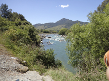
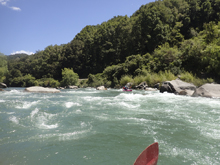
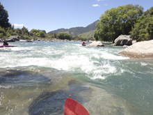
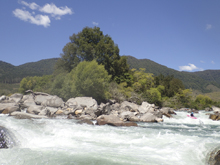
- First Rapid (III to IV). The first rapid and the last are the biggest on the run. This one was great for breaking apart with fun eddies. I can really see why this short section is a great place for instruction. Lines for all skill levels. You can run down the middle if you want. But we worked from one side to the other and back again a few times.
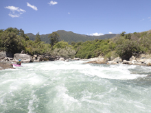
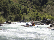
- Islands (III). Downstream the river split around several islands. I remember us going wide around to the right, but I do not believe we went to the farthest right channel. This long straight away had a nasty spot as I recall in the middle and then a fun boof at the bottom. Follow the water and stay away from the nasty spot which I recall being a bit of a sieve in the middle of the rapid.
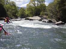
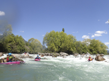
- Crux (IV). The biggest rapid of the run is this last one. It is obviously steeper than the rest. We started center and then worked right to exit. The hazards were on the left shore in the form of sieves. So just don't go to the left shore. The exit of the rapid was a ramp into a soft hole just as the water from the far right channel reentered. Take-out was just downstream on the left where the small side channel splits off.
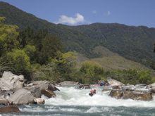
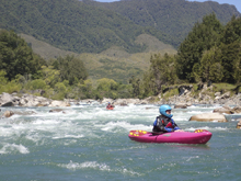
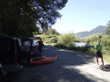
Take-out: From Murchison, take Highway 6 West out of town. Just after the Matakitaki turn left onto the dirt road, Matakitaki West Bank Rd. Head up this for 4.2 km. The road will go away from the road and get relatively close again. There is a wide spot for parking on the right just across from a small dirt road with a gate on the left that drops down to the water. Park on the main road.
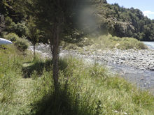
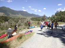
Put-in: Continue up the river for 1.5 km. The road goes away from the river and then comes back, just after it comes back there is a wide area for parking on the right. Park there.
HTML Comment Box is loading comments...
