St. Leon Creek
| Stretch: | Above BC-23 |
| Difficulty: | Class V- to V |
| Distance: | 1.4 miles |
| Flows: | ~200-400 cfs (no gauge). No gauge, "Revelstoke Whitewater" Facebook group is a good place to inquire |
| Gradient: | 360 fpm average (above the paddle out) |
| Put-in: | Random dirt road |
| Take-out: | Bridge on BC-23 |
| Shuttle: | 4.3 km (15 minutes one way) |
| Season: | Late Spring and early Summer from snowmelt |
| Written: | © 2018 |
| Featured in A Wet State #141 | |
Jobless Summer 2019 Roadtrip - Day 22:
Waking up along the Columbia, the plan was to meet up with a guy who I met online a few days prior, Rob Murphy, who had done the run and was keen to do it this day. It turns out that is quite nice on this run as there is a small not obvious eddy above the big slide that I think most boat scouters would blow by.
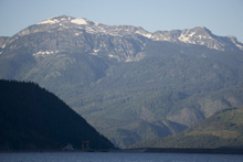
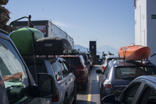
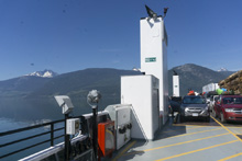
We met him at the ferry at the designated time. We were also joined by our friend Gerard who we met in Whistler several years ago, a friend of his, and finally Toby McDermott and Erin Savage who are friends of ours from the South East. The inland ferries in Canada are free as they considered part of the highway system. That is quite nice. For the ferry from Revelstoke to Naksup, they leave every hour on the hour and take about 15-20 minutes to cross. It is all very quick. On the way back they leave at the half hour. Also, there is free wifi on the southern end (Naksup side) of the ferry FYI.
Arriving at take-out we found the water low. We knew it would be low, so we walked up to see if it was too low. We scouted the final gorge leading into the waterfall and decided that although it was low, it would be doable. The big drops were all reported to be fine at low flow, it would be the in between and the paddle out that may suck a little.
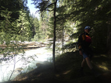
Apparently, a year or two ago the put in changed. Previously you would put in on river left, using the hot springs area and downclimbing steep, overgrown, and downed trees hillside to the river. Now you drop down to the same spot on river right through a steep but clear path down. Putting on, you quickly get to Triple Drop, scout on the right. A little bit of mellow boogie leads to the Big Slide. Scout right again. This one is tough to portage, I believe you need a rope to rappel in the case you do want to portage. The next section of boogie is harder and has some nice ledges and boulder gardens. I can imagine at high water this section is pretty on and non-stop. Soon, you get to a fairly non-descript turn in the river that marks the start of the gorge. If people are thinking of scouting or portaging, I would scout where to stop before putting on as it is only a third of a mile up to the gorge from take-out and it would be super easy to miss. The gorge then leads to the falls which then has a few exit ledges which are nice before the river mellows out for a quick float down to take-out.
I thought this run was fantastic. Even low, I thought it was totally worth while and glad that we did it. When you are traveling through an area for perhaps your only time, you can't be picky with flows. And this run showed exactly why, getting a classic section low is better than not getting it at all! I would expect that high flow, this thing turns into a beast as all of the busy class IV would become legit.
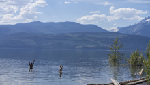
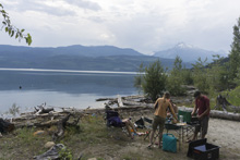
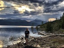
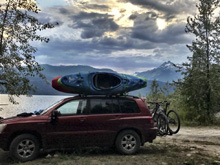
That afternoon, it was super hot, so rather than seek out another activity, we decided to set up camp along the Columbia at the confluence of the St Leon, and instead spent the day swimming and drinking ice cold beer. After several hours we then headed up the St Leon to relax in the hot springs that are a short ways up the creek. In all, it was for sure one of the best days of the road trip.
Previous: Jobless Summer 2019 Roadtrip - Day 21b: North Fork of the Nooksack River (Glacier Gorge)
Next: Jobless Summer 2019 Roadtrip - Day 23: Pingston River (Middle)
My Thanks to Erin Savage and Toby McDermott for the use of the photos they took on our trip.
Mi 0.05:
- Triple Drop (V- to V). Below the put in, you quickly get to this big horizon line. It is called Triple Drop, but really it is one small falls which lands into a small pool and then followed by another boof onto a slide. Feels like two separate rapids in my mind. Regardless, the first drop is a slide that then goes off a fanning boof that is hard to get up on, and impossible at low flow. If you hit it right you go flying and land tail first off of the 10-15 foot drop. Error left. The second drop, just after the pool, is a ledge that lands in a small caldron. Some in our group did the slidier side of the ledge on the right which lands in the worst part of the caldron, I boofed a nub on left of center and landed in good control for the slide, which is the third drop and runnable anywhere. Scout the whole thing on the right, you can walk the top or bottom independently in the case of wood.
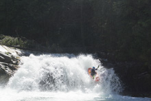
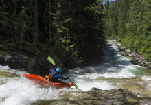
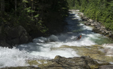
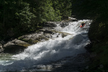
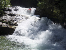
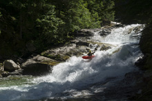
Boogie (III to IV). Below, the river went into non-descript boogie. Stay on your toes, on the second sharp left turn, eddy out on the right before the turn as this drops you straight onto the Super Slide.
- Super Slide (V- to V). The biggest single drop on the run, scout early on the right before the left hand turn that drops onto this. By the time you see the horizon it is too late. It is the second left bend below Triple Drop, eddy out at the top of the turn on the right to scout. Portaging requires a rope. We all ran far left for a nice transition to kicker. I have also seen lines center and further right. It is maybe 40-50 feet tall and the last 10 is free fall at mach 3. Try to set a good angle to avoid back injury. Also, make sure to be forward on the slide if you run left as the transition pulls some g's for sure.
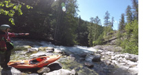
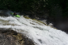
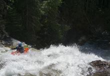
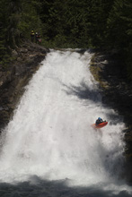
Boogie (IV). There is a lot of boogie below that is just class IV, but I can imagine at higher flows it all links up and becomes serious in a hurry. It alternates between bedrock ledges and slides, and boulder gardens.
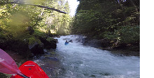
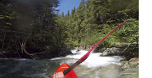
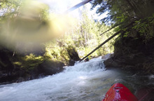
- Final Gorge (IV+ to V). Flow dependent, scout it before putting on as the spot to scout from the river is hard to notice. The trail goes up river right and is easy to find from take-out. Once through the entrance, you are in it to win it. The Entrance drop was run down the left and banked off the left wall into a ledge, boof the ledge and avoid the far right pocket. This ands in a small pool that is walled out. From here down to the eddy above the waterfall is all one rapid. We boofed in center off a small ledge, and then ran the next ramp right of center down the tongue and through a good hole. This then led to another folding tier which we ran left of center. Finally, this calmed down as you approached one last easier ledge immediately above the falls. Eddy out right or left.
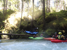
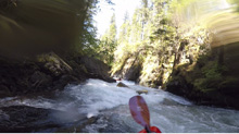
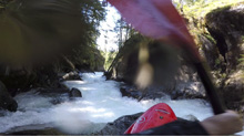
Falls (V-). I just can't rate a 25-30 foot waterfall as IV+. But this is as easy of a falls as can be for that height. We ran down the middle with maybe a smidge of right angle momentum to resurface off of the left wall. I plugged as it was tall and low water resulted in a less than super soft landing zone. Others 45'd (or so) it and no one complained of pain. At higher flows I have seen pics of people sailing boofs off of it. Eddy out right and walk laps or run the next set of ledges.
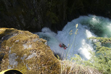
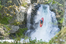
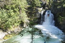
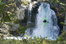
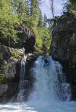
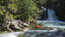
Ledge (IV+). Just downstream is a nice ledge that had a good size hole and a bit of a tricky lip. Some went right and boof against the wall, I went left to be away from the wall. Some had success, others didn't. I plugged to china. Luckily it was low flow!
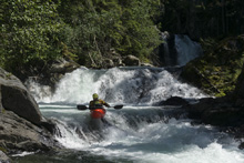
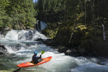
Slide (IV). Directly below is another slide. I ran right of center to avoid a rough reconnect. Others ran left which was in my mind less clean, but more straight forward. If you scout the falls and the gorge before putting on you will see theses too.
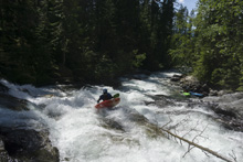
- Boogie (III). Below, it is just boogie, and at the low flow we had a few pins. You may want to just hit the trail and walk down to the bottom. At higher flow I am sure it is fine though.
Take-out: From Revelstoke, head south on BC-23. Take the ferry, which is free and leaves on the hour every hour, and continue south on BC-23. In 22.3 km you will cross Halfway River and then within 100 meters will cross St Leon Creek. Just before you cross St Leon, park on the left.
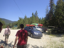
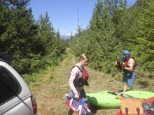
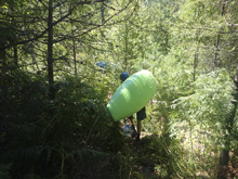
Put-in: Drive back towards the ferry for 0.4 kms before turning right onto the dirt road that goes up Halfway River. Drive 1.1 km and turn right onto another dirt road which climbs up the hill. Stay on the main road for 2.9 km and take the right turn onto an overgrown road that will drop down 200 meters to the end of the road . The "trail" is mostly just a scramble down the hill side here.
HTML Comment Box is loading comments...
