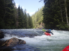
Pingston River (Middle)
| Stretch: | Below Ledge Creek |
| Difficulty: | Class IV to IV+ (V) |
| Distance: | 4.7 miles |
| Flows: | ~600 to ~2,000 cfs (no gauge). "Revelstoke Whitewater" Facebook group is a good place to inquire. |
| Gradient: | 287 fpm average from mile 2.8 to the end. 127 fpm above mile 2.8 |
| Put-in: | Bridge near Ledge Creek. |
| Take-out: | Bridge before the final gorge into the Columbia |
| Shuttle: | 16.5 km, 25 minutes one way. |
| Season: | Late Spring / Early Summer from snowmelt. |
| Written: | © 2018 |
| Featured in A Wet State #141 | |
Jobless Summer 2019 Roadtrip Day 23:
The Pingston has three world class sections, that all require different flows. The Upper is class V and requires solid water, less the river goes underground, the middle has a wide range of flows, and the lower is a waterfall run that requires low flow.
Gerard had done the Middle a few days prior and reported flows to be low. It rained a little overnight so we expected the flows to have held. That rain also had some lightening which set off the fire season in Canada for the year, two days later you couldn't see any of the mountains. But that is besides the point. Arriving at take-out we in fact did find the same water level, so we were pleased and continued with shuttle. A quick word about shuttle though, it is 45 minutes to an hour to take-out on dirt road, and then another 25 minutes or so to put-in. So, that ensures that the day is a bit long, so plan accordingly.
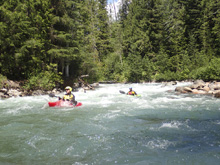
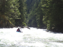
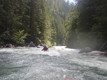
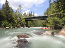
Once on the water, we were greeted by a feeling that we had plenty of water. The initial few kms are boogie in an open river. But things change rather quickly on a right turn with a nice boof. Below, class IV actions continues with a fairly unrelenting pace. I would even say that due to the continuous nature of the rapids, that I would say it is class IV+. Stay on your toes, as just before take-out there are two pushy rapids that lead directly into a big class V to V+ drop. There is a large eddy on the right that we caught and then ferried into a small one boat eddy on the left to portage at river level (well, all but Toby portaged, he ran it, but scout as the wood situation in this rapid along with the sieve situation changes yearly and could close it out). At high flows you need to exit earlier and the portage is on the right, forcing you up higher on the hill side. Downstream we ran one more rapid before another quick portage around a log jam. Then you get one nice long section that can be seen from the take-out bridge.
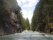
This run is a classic for sure. Super high quality, in a wonderfully pretty canyon, and surprisingly user friendly. We caught minimal eddies, took a quick lunch break, and set safety for Toby and were done in under 2.5 hours. Gerard usually expects it to take a 3 to 3.5 if I remember correctly. So anyways, there is no gauge, I would estimate that we had about 1,000 cfs. It turns out, throughout the run we all had the feeling that we did not have low flow, a feeling that was confirmed once we arrived at take-out and found higher water than when we set shuttle, resulting in a solidly medium flow. As Toby and I undid our shuttle, we found the flow at put-in to be much lower than when we started. It turns out, we were on a bubble from the previous nights rain. I will take the luck as it was a great flow! The gradient is quite steep as you can see, due to the continuous nature of the run. At our medium flow it was basically just class III and IV moves, but they were linked up with no recovery time so I gave it a class IV to IV+ rating. I am sure at high flows things get serious.
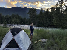
That evening, Toby and Erin began their drive back to North Carolina, and Gerard and us went towards New Denver to camp along Wilson Creek which we planned to boat in the morning.

Previous: Jobless Summer 2019 Roadtrip - Day 22: Saint Leon Creek
Next: Jobless Summer 2019 Roadtrip - Day 24a: Wilson Creek (11 km)
Mi 0.0: Mi 2.8:
- Entrance Boof (IV-). On a strong right turn, the river suddenly has large rocks in it and a ledge. We eddied out on the left. We then boofed off the ledge left of center. From here down, the action is steady class III and IV, pretty much non-stop.
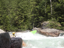
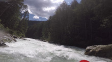
- Get Right (IV). After a long section of boogie we caught an eddy on the right at a ledge. The line was to slide the angled rock coming off the right shore. If you fall of early there is a rock in the landing. Boogie continues.
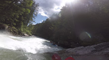
- Get Busy (IV to IV+). This is probably the most stacked and most pushy section of the river. It is fairly obvious you are coming to a harder section. We eddied out on the right above a pinch that looked to have fluffy holes. Gerard said it all goes so I pealed out. I stayed generally straight and boofed numerous holes and dodged a few rocks. This rapid then ends in a tight s-turn off the right shore that was clean.
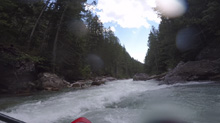
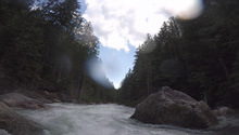
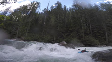
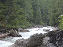
Boogie (III to IV). More boogie, more straight forward, but perhaps a few stronger holes to deal with.
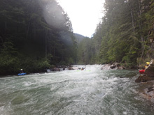
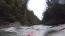
- Buoy Log Jam (III). In 2018 there was a log jam on the right that also had a bunch of buoys tangled up in them. This marked that you were only 2 rapids away from the big rapid that most will portage.
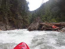
Pre #1 (IV-). There was a nice tongue through a folding drop, right of center. This then led to a wave train along a shear left wall which leads to the next critical drop.
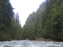
Pre #2 (IV). Not too hard, but you want to drive left to right across the left channel and go through the curler and subsequent hole to eddy out right. Flipping needs to be sorted out quickly as water quickly goes into the next rapid.
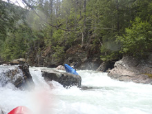
- Big One (V to V+). If the water is medium or low, you can ferry from the right eddy over to the lip on the left into the one boat eddy and scout/portage at river level. Otherwise, the portage/scout is high on the right. The dangerous is numerous sieves and perchant for collecting wood. In 2018 it was relatively clean, but that isn't often the case. Only Toby ran it, he started far left and drive across the middle and to the right channel. Catching an eddy above the exit, where he pulled out low and ran the furthest downriver main slot to exit the rapid.
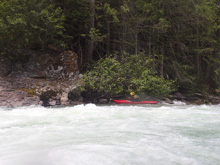
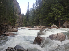
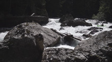
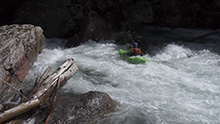
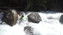
- In Between (IV). Immediately below that rapid, is another good rapid. We boofed far left and brought it back through to the center to exit.
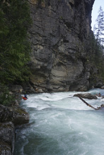
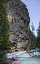
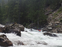
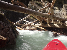
- Log Jam Portage (U). After 100 yards of boogie, we hoped out on the right above a pinch in the walls and a log jam that filled the pinch. It was not runnable. Portage right. If the log jam clears it is super easy.
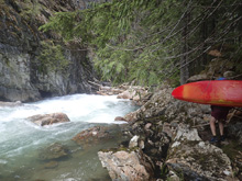
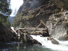
Final Rapid (IV). Immediately below is one last rapid that is long and multi-tiered ledges and read and run. Super fun and takes you right to take-out.
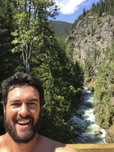
Take-out: Honestly, this entire shuttle will be aided with a GPS map on your phone. It is all dirt roads, with spurs going off all different ways. Getting to take-out takes 45-60 minutes from the ferry spot on the north side of the ferry About 200 yards up the road towards Revelstoke, look for the dirt road climbing heading south. Take that. Generally, always take the lower of the two roads, there are one or two roads that drop down quickly to the right and then end. But this road just heads down the lake at a few hundred feet elevation off the water. Finally, at 24.8 km, stay high (low drops you to the lake at the take-out for the Waterfall (Lower) run. Staying right hits take-out in 1.8 km. It is a bridge. We climbed up the hill side on river right just below the bridge.
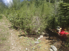
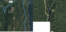
Put-in: This is also all dirt, and will take ~25 minutes one way. Head back the way you came. Follow this for 10.2 km. Finally, turn left and climb for 6.3 km (stay left at the 3.0 km mark and again at the 4.3 km mark. Finally, you will cross the river. There is a small picnic area on the left directly after the bridge. We put in there. Also, totally unrelated, but while looking at Google Earth for this write-up I found a weird plane... I wonder if it is in the woods or if it just happened to be flying by when the satellite took the pic. Strange.
HTML Comment Box is loading comments...

