Pipestone River
| Stretch: | Lake Louise Ski Resort to Lake Louise Village |
| Difficulty: | Class III to IV |
| Distance: | 2.15 miles |
| Flows: | 8 to 25 cumecs. Check out the Rivers Alberta gauge (find Lake Louise and see the icon on the right of town when you zoom in) |
| Gradient: | 104 fpm average |
| Put-in: | Trail access from Lake Louise Ski Resort |
| Take-out: | Lake Louise Village Parking |
| Shuttle: | 2.2 km (5 minutes one way), plus 20 minute walk |
| Season: | Late Spring and Summer from snow melt |
| Written: | © 2018 |
| Featured in A Wet State #142 | |
Jobless Summer 2019 Roadtrip - Day 29:
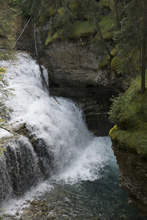
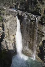
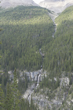
The next morning, we got a reasonably early start, so we though, and headed up the road towards Johnston Creek. We assumed the river would be too low, but still wanted to do a little sightseeing to continue the kayak video of my youth tour. This creek was in one of the Twitch videos, and featured Tao setting the world record at the time at 97 ft on the upper falls, a record which was 60ish feet previously. It is strange that a few years later it would go to 107, then 111, then 127, and then to its current 186 ft. Nowadays 100 seems to be commonplace in addition to the records. It is all, just so strange to me.
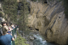
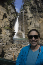
Arriving at the creek at 10 we were surprised to find the parking lots full. We lucked out and got someone pulling out and we snuck in. The hike was a shit show of tourists. There was a 20 minute line to see the grotto of the lower falls along with a 20 minute wait for the base of the upper falls. Additionally, there were numerous people with no regard for people wanting to pass them etc. For our first Banff experience, this was the wrong one and highlighted the tourist hell that National Parks can become. It was still cool to see, but maybe start hiking at 8 am to avoid the crowds.
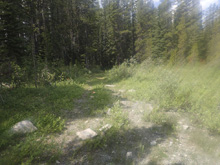
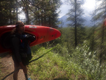
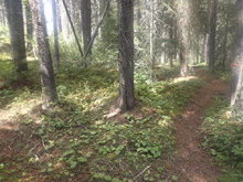
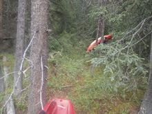
After that, we headed towards Lake Louise for a run that takes out in the town just down from the famous lake. The river has a short shuttle since half of the run is a hike in. So we found our way to the ski area and found the faint trail which headed up the river and following the guides maps, quickly found our way down to the river. To our surprise the hike only took 20 minutes, we expected 45 minutes per the paddling maps write up.
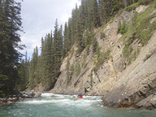
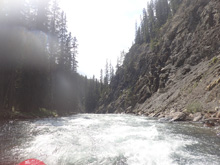
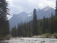
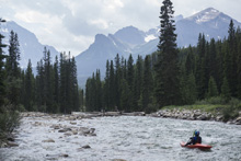
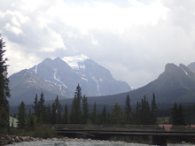
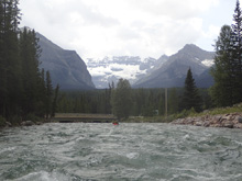
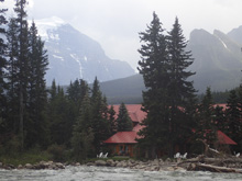
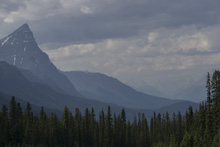
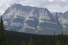
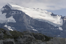
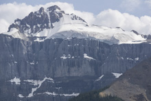
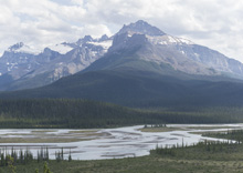
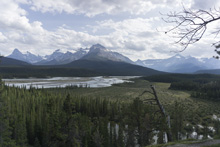
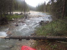
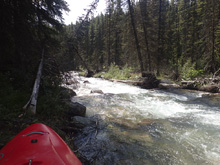
Once on the water our low water was confirmed, but we also found that we had enough water to float and have a good time. Paddling maps stated 10 cumecs is low and we had just under 9, so it was as expected. The river soon channelized and the river became really fun, a few ledges and a few multi move rapids. Before long though, the river eases up and this is where the low water was really noticed, as the river widened and rocks were hit more often. We were still able to float though, and soon, we rounded the bend and got the full Banff mountain scenery to accompany us for the rest of the paddle out down into town.
This run was quite fun if in the area. It is easy enough that it can be run by any class IV boater, but still entertaining enough that stronger boaters will enjoy it. And the scenery is nice in the canyon and excellent in the paddle out. So, next time you find yourself near Lake Louise, take an hour or two out of your day for this creek.
After the run, since we were in the area, we decided to go check out the iconic Lake Louise proper. Parking here fills up early, but at this point it was late afternoon, and we hoped that parking may be opening up and were right. So we spent an hour walking around with the hoards of people. I have to say, it was pretty... but, if you are willing to hike, there are a dozen other easily accessible lakes that are similar and much less crowded.
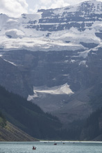
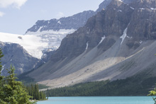
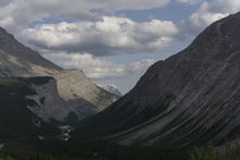
That afternoon we began our drive up the Icefield Parkway which is the highway that connects Banff and Jasper. This drive is truly spectacular, the drive alone should be on everyone's bucket list. If you think you have seen Banff or Jasper because you have been to the namesake cities, you have not seen anything until you drive this road. When it got late enough, we found a place to pull over off the road to camp for the night, with more road ahead of us.

Previous: Jobless Summer 2019 Roadtrip - Day 28: Horsethief (Classic)
Next: Jobless Summer 2019 Roadtrip - Day 30: Astoria (Lower)
Mi 0.0:
- From put in, you get a few smaller rapids to warm up on.
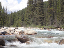
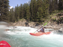
Corner (III). On the corner is a rapid that you want to stay away from the left wall on as the river bends right. On around the corner know that there is a decent ledge not far downstream as it bends back left and enters the main straight away of rapids.
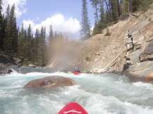
A couple of nice boogie rapids leads to the lip of the first horizon.
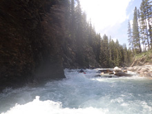
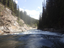
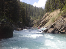
- Ledge (III to IV-). The first major horizon line can be scouted from the right. It is a steep ledge that drops into a deep seem/hole. We went down the middle and just plugged through.
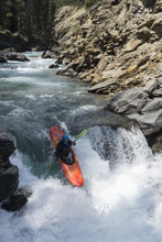
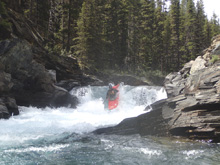
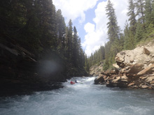
- Sidewinder (IV). The next major horizon can be scouted on the left. It is a slopping drop that pinches and drops through a notch. We followed the water and ran right of center staying right in the notch. I bet this hole can get beefy at higher flows.
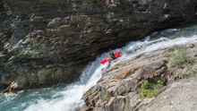
Class IV Gorge (IV). Immediately below starts a nice long rapid, we stayed far right through a multi-tiered drop, punch multiple holes that packed more punch then expected. I am sure at high flows this section is a rawkus good time.
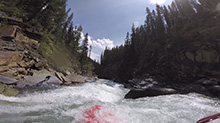
Take-out: It is literally in the middle of the town of Lake Louise. This is at the base of the hill along the Bow River. The famous lake itself is a few miles up the hill. So, use AB-1 to get to Lake Louise and park in the shopping center. Parking here is limited to just 2 hrs if I recall. We didn't have to leave a car here so it was a non-issue for us. I am not sure where people park for longer. But the run was quick so maybe it doesn't matter. The river access is behind the shopping center along pedestrian paths.
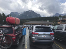
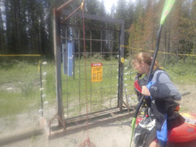
Put-in: From the shopping center, head away from the Bow River, up AB-1A to Lake Louise Ski Resort. As you enter the resort, stay low/left and drive all the way to the back of the parking area. About 100 yards from the back, there is a door in the electrified gate, this access the trail. The trail took about 20 minutes to walk. Follow it until you round a knob to the right, after this a very obvious trail will drop down to the left. This drops steeply to the river, there was a set rope there to help on the slippery slope.
HTML Comment Box is loading comments...

