Astoria River (Lower)
| Stretch: | Highway 93A to Highway 93 |
| Difficulty: | Class III to IV- |
| Distance: | 3.4 miles |
| Flows: | No gauge. ~250 cfs to ~700 cfs. |
| Gradient: | 240 fpm average for the first 1.4 miles. 151 fpm overall |
| Put-in: | Bridge on Highway 93A |
| Take-out: | Bridge on Highway 93 |
| Shuttle: | 5.7 km, less than 10 minutes one way. |
| Season: | Late Spring and Summer from snow melt |
| Written: | © 2018 |
| Featured in A Wet State #142 | |
Jobless Summer 2019 Roadtrip - Day 30:
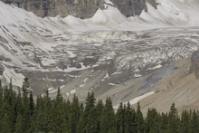
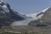
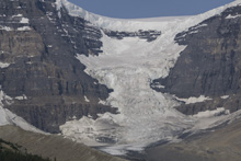
Waking up, we continued our drive along the Icefield Parkway which connects Banff and Jasper and is certainly the prettiest drive I have ever done. Within minutes we were at the Athabasca Glacier so we stopped and did some touristy things there along with filling up our water bottles. This is a bit of a tourist trap as they have all sorts of "adventures" to buy from driving onto the glacier to helicopter tours to skywalks. But it was pretty so we stopped. Thankfully it was only 8:30 in the morning so the crowds weren't yet huge. We drove by a few days later in the middle of the afternoon and the crowds were huge for sure.
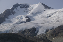
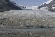
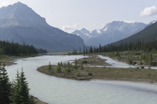
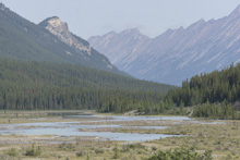
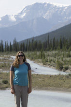
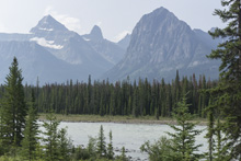
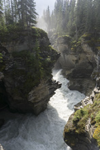
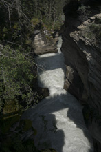
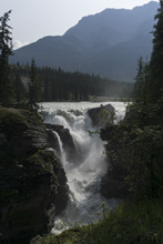
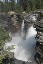
Anyways, the plan was to head into Jasper to get food before heading to the river for the day. On the way, we decided to stop at the road side Athabasca Falls to once again be tourists for a few. It was worth the stop as whitewater enthusiasts to be in awe of the power of the falls and the gorge below. And to rest your curiosity, it would be near certain death to kayak, at least at the flows we saw.
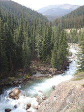
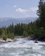
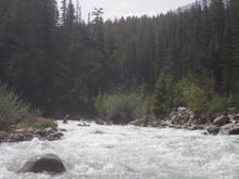
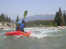
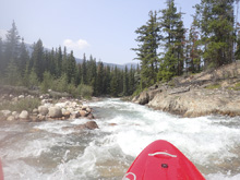
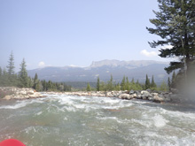
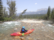
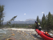
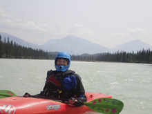
After lunch at the brewery in Jasper, we headed back south a few miles to the Astoria and set a bike at take-out. Arriving at put-in we found the water low. The guide said that the run's character is seen at put-in. So, although it looking ELF, it looked runnable so we put on. The first rapid was bedrock and was fun. Below, was a steep section of continuous whitewater that was channelized enough. But as we continued on, the nature got less and less sufficiently padded. We got to the "canyon" which was disappointingly just one rapid in a walled out section, and the river opened up completely and the channels began to braid and the tedious part of the river really began. In hindsight, the river was way too low. Don't go in here until it is more padded. But also be aware, there is no stopping, so wood could spell disaster.
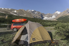
That night we ended up camping at the put-in for the river as there was a nice spot. So we cooked and slept with the sound of the river drowning out the little road traffic noise on that small road.
Previous: Jobless Summer 2019 Roadtrip - Day 29: Pipestone
Next: Jobless Summer 2019 Roadtrip - Day 31: Fraser (Pipeline)
Mi 0.0:
- Put-in (IV). Directly below put-in, you slide in to the biggest single rapid of the run. This rapid has two parts. The top part is a narrow s-turning slot on the right. At high flows, maybe you can run down the middle, but that would be an interesting sign for the rest of the run. The second part ramps down into a slide and small hole, we just ran with the main flow and tried to stay off the left wall at the bottom.
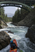
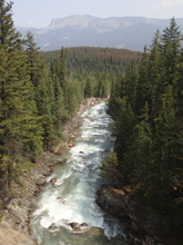
Boogie (III to III+). Downstream is a non-stop rapid with steeper and less step parts. I am sure it changes with yearly floods as it is all basically just a big boulder shoal. I would say the moves were only III- to III, but it was non-stop and I would assume at high flows, that can be quite dangerous.
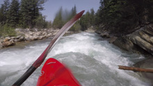
- Entrance to Canyon (IV-). The entrance to the canyon is obvious as the river bed is no longer wide, and the canyon walls begin to tighten. We ran down the right side of the left channel which then dropped you into the canyon through two small holes. The left wall here is undercut, so avoid it. There was an eddy on the right above the next rapid.
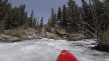
Ledge (III). The next move was a ledge that we boofed right of center. We then caught an eddy on the left just as the river tightened for the exit as the river bent right.
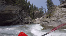
Exit (III+). It is just a boily move. I bet at high flows it is more so. But it was straight forward enough. It then went into another busy open section immediately below,
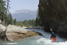
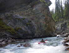
- Shoals (II+ to III-). The shoals get more spreadout and less channelized. This part really sucked at the low flow. Stay on your toes for trees!
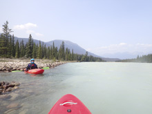
- You hit the confluence with the Athabasca and get a glacial color change to the water. A short 1.25 miles of mellow class I-II is downstream.
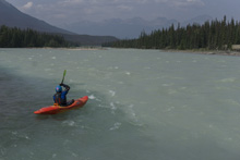
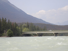
Take-out: From the town of Jasper, head south on AB-93. Follow this for 7.4 km. The access is on the left just before you cross the Athabasca River. Note, a lot of rafting trailers and buses come and go here so park as far out of the way as possible.
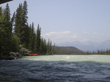
Put-in: Head back towards the town of Jasper, in less than a km, take the left onto AB-93A. Follow this up the hill for 5.0 km. Park just before the bridge over the river. The access is on river right, on the upstream side.
HTML Comment Box is loading comments...
