Fraser River (Pipeline)
| Stretch: | Above Overlander Falls |
| Difficulty: | Class IV (V) |
| Distance: | 6.3 miles |
| Flows: | 30 to 80 cumecs. Check out the PaddlingMaps gauge |
| Gradient: | 76 fpm average |
| Put-in: | Dirt access road and trail |
| Take-out: | Overlander Falls Access Trail |
| Shuttle: | 9.5 km (10 minutes one way) plus a 5 minute walk in and out |
| Season: | Spring and Summer from snowmelt |
| Written: | © 2018 |
| Featured in A Wet State #142 | |
Jobless Summer 2019 Roadtrip - Day 31:
The previous day we had met a guy who was potentially going to join us for the Fraser randomly as we parked near the post office in Jasper. Morning of however he bailed but he did provide us some beta which was nice. After driving to take-out we decided that a bike ride on the highway wasn't super appealing and felt confident with the traffic stopping to take a look at the take-out falls, so we opted to bet on a hitch at the end and drove back to put in.
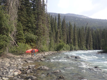
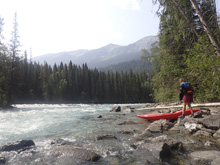
This run starts mellow enough but that is short lived as you hit the first bigger rapid when the river noticeably narrows. This rapid is best to be left at the bottom, we also ran left at the top. The next bigger rapid has a channel wide hole on the left, we boofed through a small channel in the center. Downstream, the action gets going in a super nice but read and run fashion. In the next canyon section there is a blind horizon that goes fine down the middle. Then the river begins to mellow out as the highway comes back into view. This then leads to the final hurrah which is Overlander Falls. Getting to the lip of this falls, for sure scout on the right before hand. The drop is maybe 20 feet tall and has a reconnect which drops you into a large hole. Diane and I scouted it, having never seen it or video of it. We saw the line, but neither one of us wanted to go first to try it out. Later that night we watched video and confirmed the line and the result of a deep plug. Oh well, for us, it just wasn't worth it with just two of us so this falls is left for another day for us.
Downstream is a class V section called Fraser Canyon. But, without someone who knew the lines and with high water for that section, Diane and I decided that that too was best left for another day. Highwater and stout whitewater with just two people, neither of which know the run in my min, is not a recipe for success.
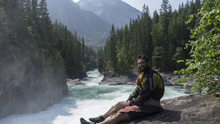
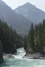
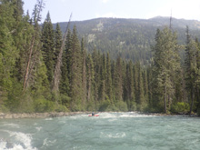
As it was, this run was great fun and had quite nice scenery. We had 68 cumecs which I felt like was a fluffy but not flooded by any means type of flow. I am sure this run gets run high, but I would also imagine that Overlander does not get run much higher than the flow we had.
That afternoon, we drove further on the highway past the town of Valemount where the Canoe River is. We found a campground just downriver of take-out which we hoped to use to take-out and to enlist a shuttle drive for the following day.
Previous: Jobless Summer 2019 Roadtrip - Day 30: Astoria (Lower)
Next: Jobless Summer 2019 Roadtrip - Day 32: Canoe (Lower)
Mi 0.8:
- Outhouse (IV). This runs starts with one of its harder rapids. You will notice the canyon walls tightening and an ominous roar coming from downstream. We started center and moved left of center to avoid big holes at the top on either side. We then went left around a big midriver hole halfway down the rapid. 100 yards of boogie then leads to a left bend that you want to be far left on to avoid a very large hole that extends over half of the river from the right shore.
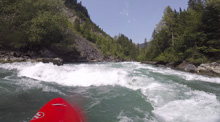
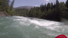
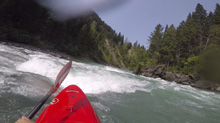
Boogie (III). The boogie steps up from here and tends to be continuous class III wave trains with some holes to avoid. This will lead to the lip of the next drop, get out early to scout on the tight.
- Eric's Hole (IV). A big hole on the left which is hard to set safety for, or a nice boof right of center in a smaller channel just right of the main channel. We went for the boof, and it was nice. It was still a solid hole at the base. You could sneak even further right if you wanted.
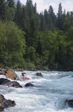
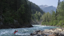
- Canyon Rapid (IV-). You enter a small canyon and have moving water to the lip of a ledge. We ran down the center. I wonder if this hole gets bad at higher flows. We had pretty high flow, so maybe not.
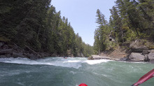
Things open up again below the canyon and the boogie continues.
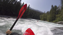
- Narrows (III+ to IV-). A bit of an ominous blind corner has a staging eddy on the right. Downstream the river bends 90 degrees left and ramps through several large crashing waves. They all went fine enough down the middle.
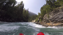
Rocky (III). As it exits the Narrows, the river enters a rocky rapid and bends right, we went left of center down it which was good, as the center and right were very rocky.

- Surprise (IV-). In the endless boogie, there was one rapid that sorta surprised us and was bigger than expected. We ran down the center moving slightly right, threading between a few holes. I think you could avoid everything on either edge, but where is the fun in that!
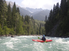
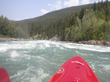
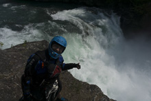
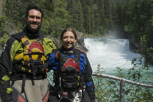
- Overlander Falls (V). This is a big drop, scout it on the right. The line was obvious, down the right of center portion of the ledge, hit the reconnect and clear the hole. The hole is terrible in the center and left, but at lower flows you can run the left. We really needed someone to go first as it still looked quite big and like it had potential for long down time. That night, we looked at videos which confirmed the line and confirmed long downtime at the higher flow. We ended up walking it though as neither Diane nor I wanted to go first... and we were the only two there that day.
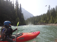
Take-out: From the town of Jasper, head West for 85 km on AB-16. Look of the Overlander Falls trailhead. Park here. The trail down to the river is maybe a quarter mile. On the river, it is all super obvious, a paved trail. No need to scout take-out.
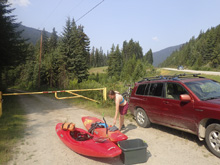
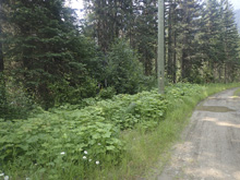
Put-in: Head back towards Jasper on AB-16. Follow this for 9.5 km. Look for a gated dirt road on the right. Park here. Parking is very limited, maybe only 1-2 cars. I am not sure where to park if these are taken. To get to put-in, walk down the gate for about 100 yards. Just before the 3rd power pole from the gate, look for flagging on the left. The trail drops steeply down to the left to the river. It is just a 5 minute walk total.
HTML Comment Box is loading comments...
