Canoe River (Lower)
| Stretch: | "Old Bridge" to Hwy 5 |
| Difficulty: | Class III to IV |
| Distance: | 2.45 miles |
| Flows: | No gauge, ~750 to ?,000 cfs. |
| Gradient: | 69 fpm average |
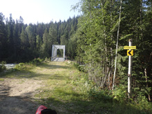
| Put-in: | There is now a shiny new bridge where the "Old Bridge" site used to be. |
| Take-out: | Highway 5 bridge. |
| Shuttle: | 8.2 km, mostly good dirt road, 20 minutes one way |
| Season: | Spring and Summer from snowmelt |
| Written: | © 2018 |
Jobless Summer 2019 Roadtrip - Day 32:
Waking up at take-out, we decided to take a drive around the campground to see if anyone was up and maybe willing to drive our shuttle before committing to the bike shuttle. Sure enough, two campsites over we met a nice guy who was native to a tribe in WAYYYY northern Canada who was willing to drive our shuttle for us. First success for the day!
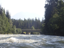
We quickly found our way to put-in (it was bike shuttleable FYI) and got on the river. The river starts off with continuous class II+ to III type of whitewater but on a right turn takes a step up into class III to IV range with a ledge to be avoided on the left and zigged behind. Downstream, the river maintains a more class III feel with one more bigger rapid but several other entertaining spots. Near the end there is a nice canyon section that is mellow, but do stay on your toes as in 2018 there was a river wide log across the top of it that we portaged on the left. Be then passed under the railroad bridge and soon the highway. This is the normal take-out, but that would also be a very short day so we continued on to the campground which basically doubled the length of the run. We talked to the campground managers the day before and they were fine with us taking out there, though I am sure that also is because we camped there. There weren't really any more rapids below the bridge, but it was nice to float longer as we had no other real plans for the day.
That afternoon, we drove back to Jasper and got a bike ride in. The bike ride we took in New Denver had us nervous as the blue there was pretty legit. But the blue in Jasper it turns out is super mellow. We ended up riding 16 miles and only had 550 ft of elevation gain. We tried to do a different trail which would have had more gain, but it was closed due to a grizzly attack of two bikers a few weeks earlier. The trail we did ride however, being all of a few hundred yards away was totally safe... apparently... so I told myself.
That night, we went to the overflow camping downstream from Jasper a few miles as it was a weekend and the campgrounds were all sold out. The overflow had some nice spots in the woods so it wasn't terrible, but also had water and a toilet which was nice. Every once and a while paying for camping is worth it for those amenities. Plus, I think the fear of grizzly bears had finally worn us down a little with the poached camping in the woods.
Previous: Jobless Summer 2019 Roadtrip - Day 31: Fraser (Pipeline)
Next: Jobless Summer 2019 Roadtrip - Day 33a: Maligne (Canyon)
Mi 0.0:
- Boogie (III). There is just continuous boogie that is mostly class II+ to III-, but on one right corner there is a bit of a slide into a hole, we went far right on that.
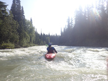
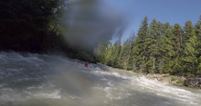
- Powerline (IV). Things pick up noticeably on a strong right bend. The inside of the right corner has a guard hole, swing left of center to avoid this, but then cut back right to avoid the outside hole on the left. Boogie continues immediately below. A swim could be a long, cold affair. Shortly downstream powerlines cross overhead.
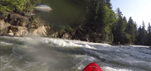
- Headwall (III+ to IV-). The next straight away gives way to to bigger boulders to negotiate easily following the main current before it gives way to a two part slide. The bottom we ran center moving left to find a nice soft tongue. At high flow I bet the right of center at the bottom is mean!
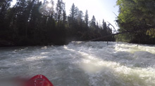
- Canyon Entrance (III+). I know there are names for the rapids in this section, but I couldn't figure out which was which. For us, after the fun fluffy lead in which we ran down the right, we entered the canyon and this first rapid was a portage due to a big log blocking the whole river. The rapid would have been a small ledge that would have been best to run on the right half of the river.
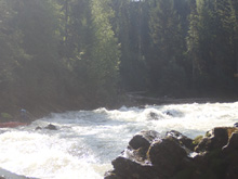
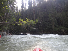
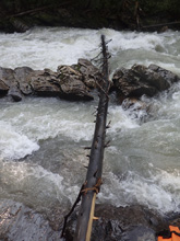
Canyon (II+ to III-). I don't recall any specific moves in this section, just some fun boogie in a nice canyon.
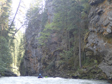
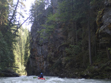
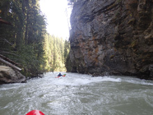
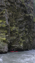
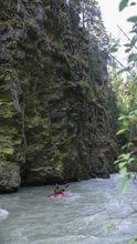
- Headwall II (III). As the railroad bridge is overhead, you get one last rapid where the river bends right and pushes into the left wall, just stay off the wall. It is super quick below to the take-out. If you continue to the campground where we took out it mellows out to just be class I to II-.
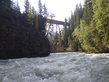
Take-out: From Valemount BC, head south on BC-5 for 7.5 km. Take-out is at the bridge over the river. Or if you are using the campground, the turn is 1 km back towards Valemount. But I would only use that if you camped there while in the area.
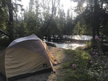
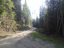
Put-in: From the highway bridge take-out, head back towards Valemount on BC-5N. Follow this for 2.7 km, just after the railroad crossing, take a left onto a dirt road (if this road has access the next left on dirt can also work as they connect). Stay left at the Y and then in less than a km, turn left. This road parallels the highway and then bends up the river and continues for 4.6 km. You will cross through a powerline clearcut when you have about 1 km left. As of 2018, the bridge is super obvious with a shiny new bridge. Apparently in the past, the bridge was washed out and the site began to get overgrown and was hard to spot. It is no longer the case.
HTML Comment Box is loading comments...
