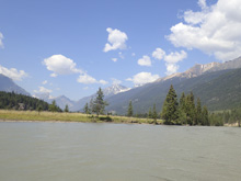
Horsethief Creek (Classic)
| Stretch: | Horsethief Creek Rd to Westside Rd |
| Difficulty: | Class IV- to IV (V) |
| Distance: | 12.2 miles |
| Flows: | ~600 to ~2,000 cfs. (No gauge, "Revelstoke Whitewater" facebook group is a good place to inquire) |
| Gradient: | 94.4 fpm average (from the falls to take-out) |
| Put-in: | Bridge on Horsethief Creek Rd |
| Take-out: | Bridge on Westside Rd |
| Shuttle: | 19 km, 30 minutes one way. All a good dirt road |
| Season: | Spring and Summer off of snowmelt, wide range of boatable flows |
| Written: | © 2018 |
| Featured in A Wet State #142 | |
Jobless Summer 2019 Roadtrip - Day 28:
Waking up in Radium Springs, we headed into town to meet up with the other folks who were going to join us, Seamus White who lives locally and Isaac Tracey who we boated with the previous day. The group was on time and we headed off. The shuttle is reasonably long on good quality dirt road, but at this point we were starting to get tired of dirt roads. I was pretty happy when we got to put-in.
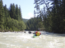
The river starts with a scenery, but flat section of water that last some 20 minutes. Then, you are greeted with some class II for a good little ways until a strong left turn brings a big horizon. Get out on the right and portage. The drop has been run, but it is a big boy drop for sure. Most will portage the drop below it too, we decided to drop down, ferry across and scout it further and Diane and I ended up running it. Below, the river is continuous class III with one exception of a section that is for sure long and class IV. The extra hazard of that particular rapid is that the exit is notorious for collecting wood on either side of the midstream island. For us it was clear. It is good to get local beta before going because it is impossible to know when you are there until it is too late. Below, the river gets easier again and eventually tapers off to class II. I thought the paddle out sorta dragged on, but perhaps that is because I didn't anticipate such a long run and spending 2.5 hrs on the water, so I kept anticipating take out around the next corner.
In total, I thought this run was good fun though and the second half of the portage added enough spice to take home some memories of. We had ~800 cfs which I believe was on the low side of medium (or perhaps medium side of low?). The paddle out went to braded channels which would likely be the limiting factor for low flow on this run. As it was, we hit a lot of rocks in that section, but the rest of the run felt fine.
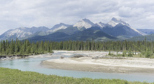
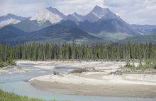
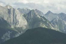
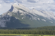
That afternoon, we drove towards Canmore, just south of Banff where our friend, Gerard, had offered his place to us. On the way, we drove through Kootenai National Park which offered very nice mountain scenery with the bright blue glacial fed Kootenai River running along the mountains bases. We then popped out in Banff National Park, where we took a stop at an overlook of the iconic mountain. We saved the rest of the sightseeing for another day and finished the drive to Gerard's place, made dinner, and went to sleep.
Previous: Jobless Summer 2019 Roadtrip - Day 27c: Kicking Horse (Lower)
Next: Jobless Summer 2019 Roadtrip - Day 29: Pipestone
Mi 0.0: Mi 1.7:
- Easy Boogie (II). You finally get to some class II, though this section drags on too until you get to the falls. From put in, it took maybe 30-40 minutes to get to the falls and the start of the real action.
- First Falls (V+). The first falls is a double drop, 12 foot falls with encroaching walls on either side and then a smaller but super sticky looking pour over. It is rarely run. For most, when the river enters a small pool on a 90 degree left turn, they will hit the right shore and portage.
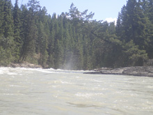
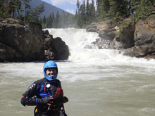
Second Falls (V). We decided to drop down and ferry over to scout the second falls better. Most will portage the first and second together on the right. Once we ferried over and scouted from the other bank, we decided it was good to go and Diane and I ran it. The start is a slide that is boily and flirts with the backwash of the ledge dropping in from your right. Then the bottom is a cascading ramp that you want to be far left on to avoid a piton and the meat of the hole. It went way easier than it looked, but I imagine it is flow dependent.
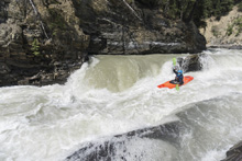
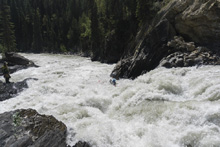
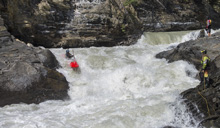
- Boogie (III to IV-). Downstream is continuous boogie. There really is no reason for the play by play as I am sure it all changes with yearly floods. But it is busy, so stay on your toes!
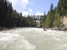
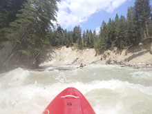
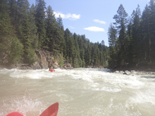
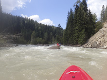
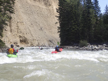
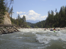
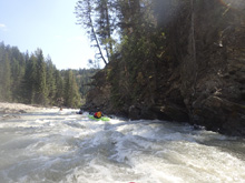
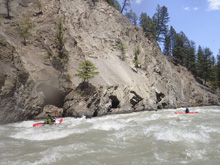
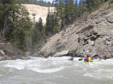
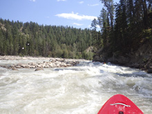
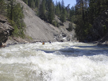
- Class IV Gorge (IV). The river will tighten as you snake left and back right. It is obvious you are here once in it, as the rapid is stacked and more powerful than anything else on the run. But, once you are there, it is too late to stop... which can be an issue. The exit of the rapid splits on either side of an island, it is notorious for collecting wood and being impassable. So, most will scout the exit from the top. We had beta that it was clean before dropping in which is good because it was too late once we realized we were there. We stayed generally left throughout the rapid punching several holes. The left side of the island is clear more often than the right, so also maybe error left at the exit.
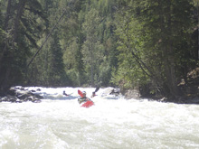
- Downstream, the river begins to mellow and eventually turns into a breaded channel of class II. These last few miles did feel tedious by the end at our lower flow.
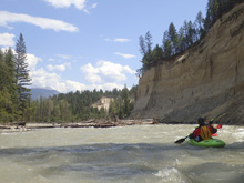
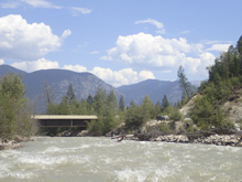
Take-out: Depends on if you are coming from Radium Hot Springs or Invermere, you can approach from north or south. I will walk you through from Radium Hot Springs which is what we did. Take Forest Landing Rd out of town towards the west. In 1 km, turn left to stay on the road, this is all dirt from here on out. This will lead you down to the Columbia river which you will cross, and then you will begin to climb on the other side. We camped here. At the fork 2.9 km since the last turn, stay left onto Horsethief Creek Rd. In 6.2 km you will come to a 4 way intersection, turn left. Soon you will cross another creek which looks boatable, and finally after 5.9 km from the turn, you will cross the bridge over the Horsethief Creek. Park on the far side where the access is on the upstream side of the bridge.
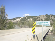
Put-in: Go back 3.9 km the way you came (described above). Just before the creek crossing, turn left onto another forest service road. Follow this for 3.6 km to where it joins Horsethief Creek Rd. From here, just stay on the main road for the next 11.3 km. Access is at the bridge over the creek on this road.
HTML Comment Box is loading comments...

