
North Branch of the Winooski River
| Stretch: | Along Route 12 between Montpelier and Morristown |
| Difficulty: | Class IV+ to V |
| Distance: | 2.5 miles |
| Flows: | No gauge. Low was ~100 cfs. I bet 250 cfs is a great flow. |
| Gradient: | 113 fpm (it is 140 fpm after the first half mile). |
| Put-in: | Turnout on VT-12 |
| Take-out: | Turnout on VT-12 |
| Shuttle: | 2.5 miles (5 minutes one way) |
| Season: | Spring from rain... Needs a lot of water. |
| Written: | © 2015 |
| Featured in A Wet State #99, in A Wet State's contribution to World Kayak's Video Guide, and John Moore's rapid-by-rapid video | |
North East Roadtrip 2015 - Day 6 Afternoon
The plan was to meet at 4:30-4:45. Since we were driving from New Hampshire we ended up getting there early, around 4:00. As 4:30 came and went, nobody. As 4:45 came and went, nobody. "We didn't have much cell service, I wonder if the plan changed...?" Finally one car showed up... also wondering where everyone else was. Finally a little after 5:00 folks started showing up, flows were verified to be low but ok, and we set shuttle.
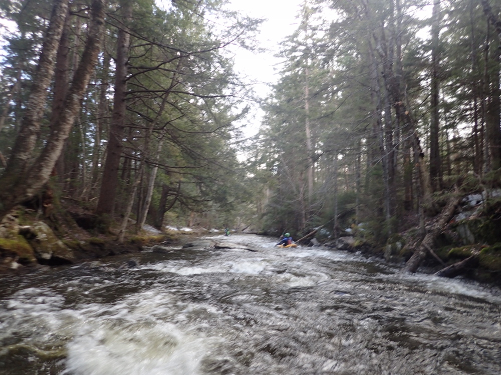
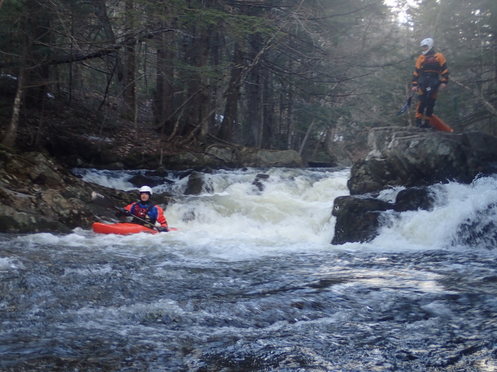
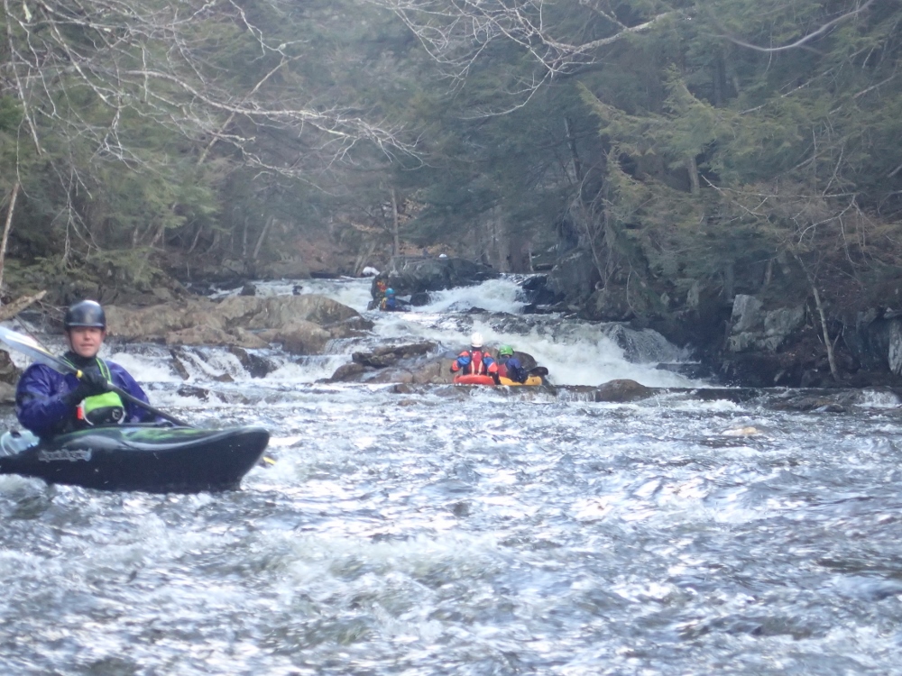
Once pushing off shore we paddled a little ways of flat water to the first set of rapids. Once in the rapids we all began to think "this is really low." The ledges were broken, the slides shallow, we all began to wonder just how junky the day would be. Luckily once past these first few drops the river did channelize more. However our friend who had done it before did proclaim that it was lower than he thought when he looked from take-out. Oh well... you can't win them all, especially when you are on roadtrips.
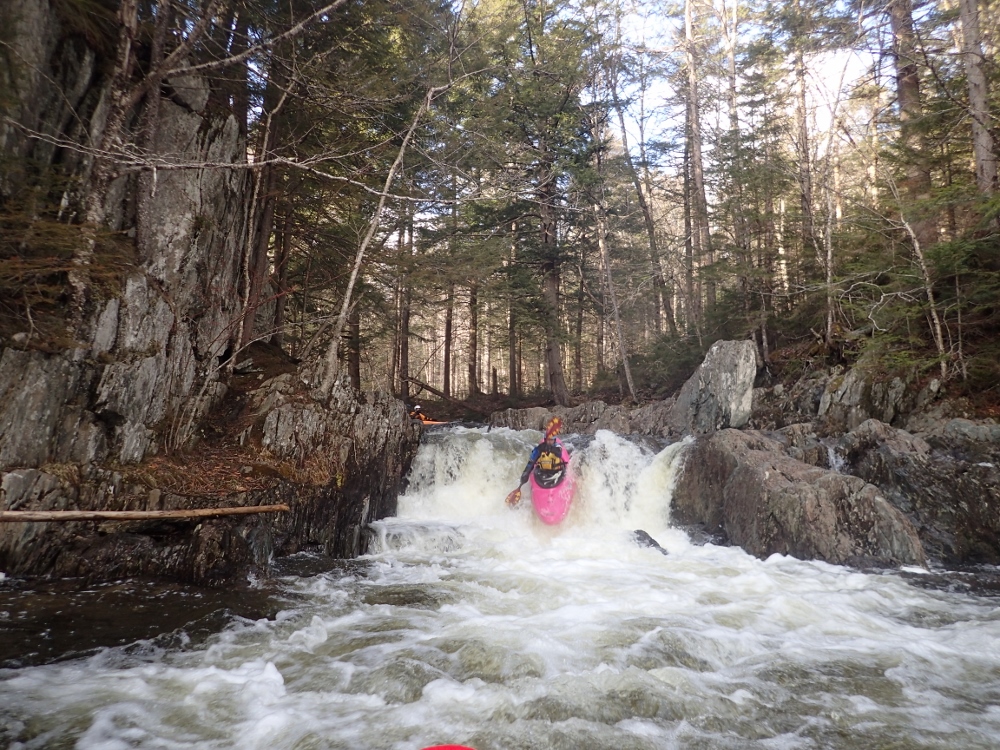
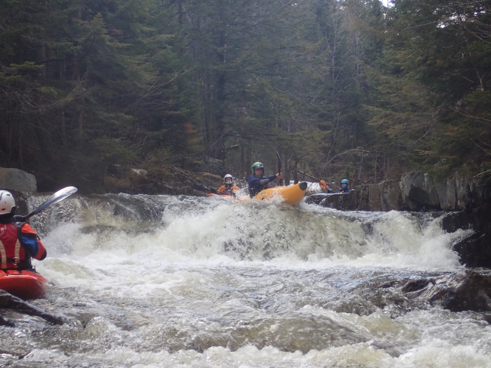
The big drops on the run were still a lot of fun... though also horribly boat abusive. The rock here is like 40 grit sandpaper and pointy in all the wrong places. Several drops involved boofing straight onto rocks or sliding on rapids that then sent you straight over a shallow outcropping. I am 100% sure that with more water this run would be great though. A handful in our groups weren't feeling the size of the drops and abuse they would deal with and ended up walking the 3 major drops. I am guessing that they probably would have said it was not worth it at this flow. As it was, I am borderline. Of course, the guidebook does say you need heavy rain to get the creek going... and that we had not gotten. So we have no one to blame but our own optimism!
Last: North East Roadtrip: Day 6 Morning (Swift River)
Next: North East Roadtrip: Day 7 (Joe's Brook)
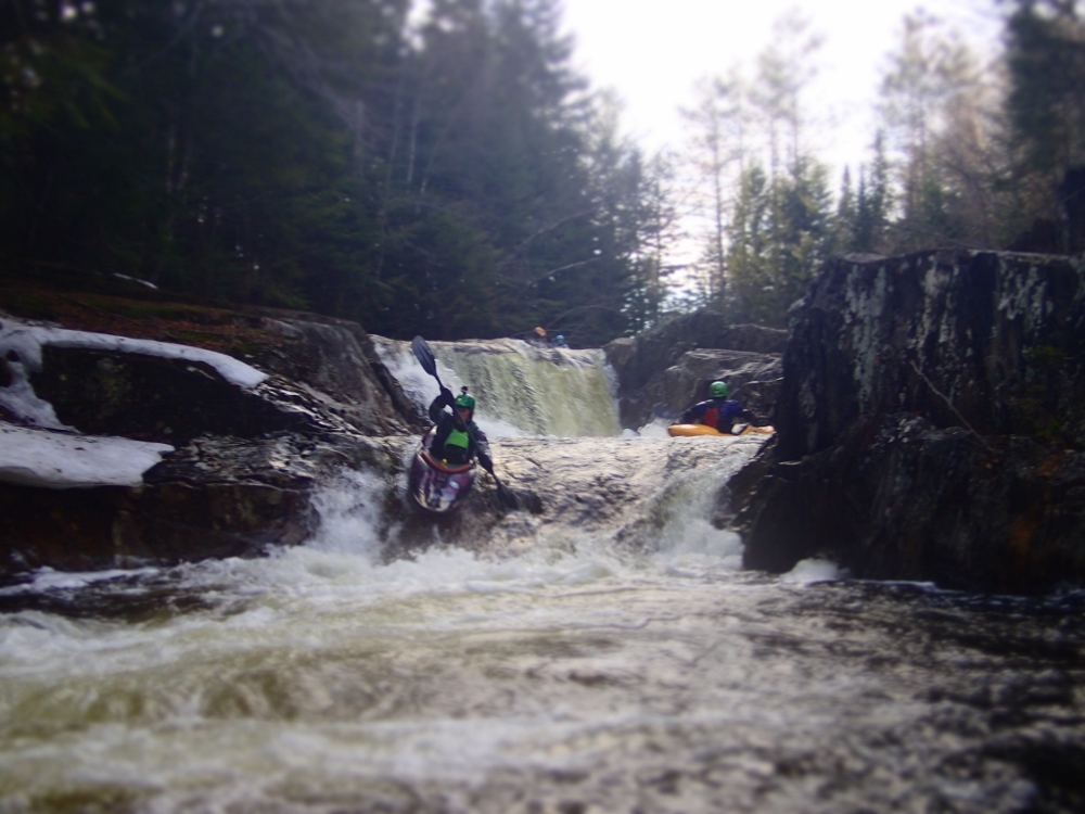
- The start of the run is rather flat. But then you get to a cool sequence of drops.
- Small Double Boof (IV). A small double drop where you boof the first 5 foot ledge far left and then boof the second one center as there are piton's on either side.
Small Ledge (III). A small ledge of about 5 or 6 feet was only made difficult by some wood in the left side of the landing, necessitating a hard right line and boof.
Boof (III). A straight forward boof left of center.
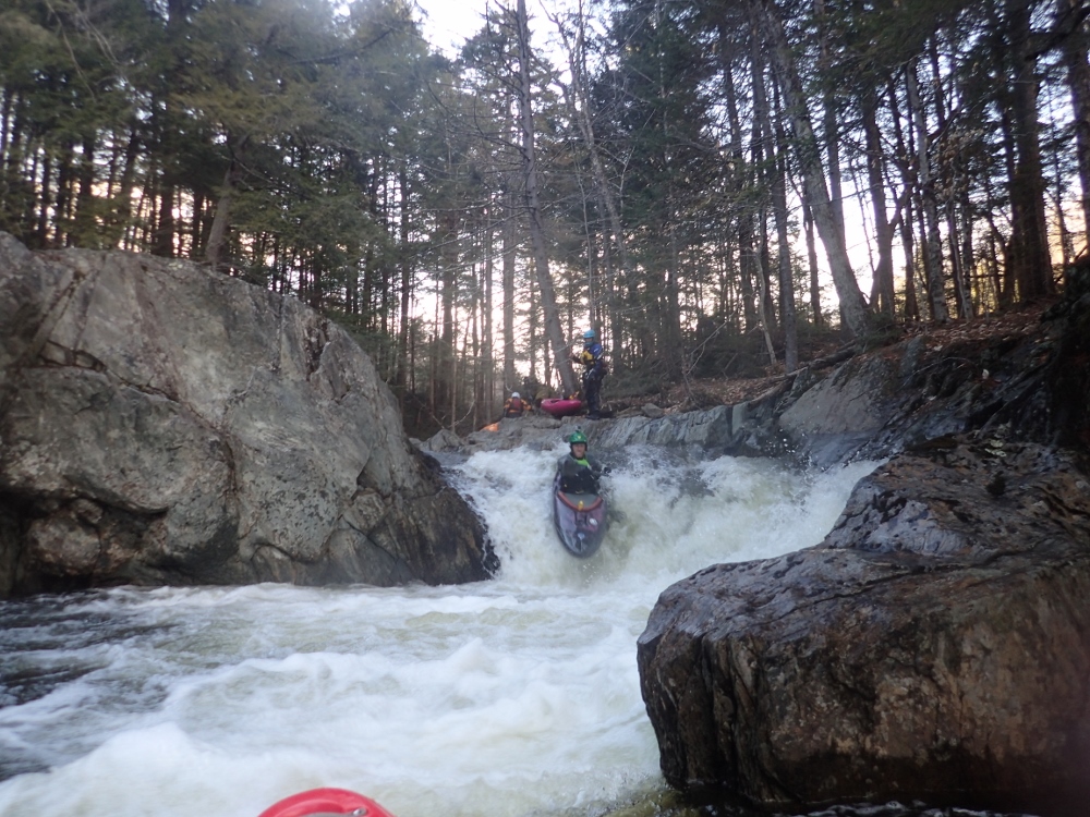
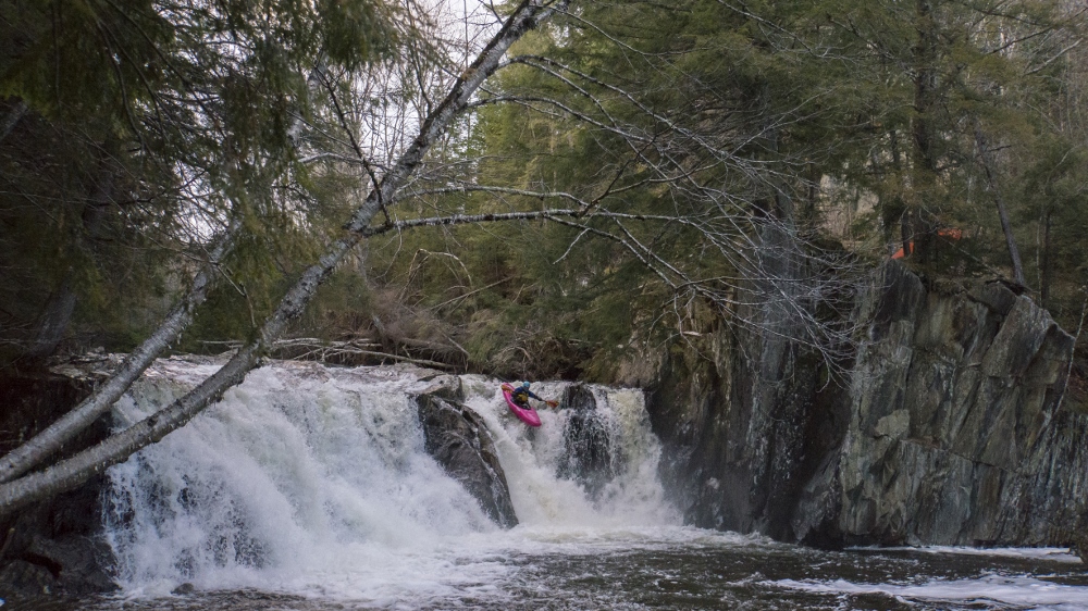
Tall and Junky (IV+ to V-). This is the first of the taller drops, at the low flow it kinda sucked, but went ok. You want to be far right to drop onto a slide to boof the bottom hole. In the middle there was a bunch of nasty rocks poking up. Perhaps at high flow a left line could go.
Two Tiered (IV). This one was a double move, the first tier was down a folding hole on the right. The second was down a ramp on the left.
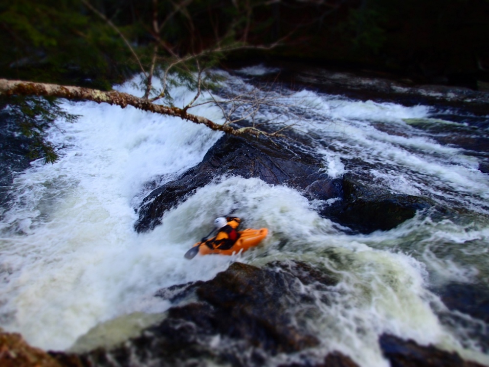
- Big Slide (IV+ to V). Man I wish we had higher water on this one... the lead in was a two teiered small slide that then leads to a 4 foot boof onto a steeper slide which you want to stay left on so you can boof the hole rather than boofing into a piton. With higher water I have to imagine this rapid is fast and fun as hell!
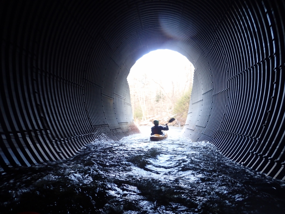
- You then went through a culvert...
- Boof with Piton (IV). Just after the culvert you go to a boof, you want to be basically center. Too far left and there was a piton, same with right. I am sure at higher flows this one is easier.
S-Turn (IV to IV+). Just downstream is a blind s-turn. You wanted to be far right as the left side had some bad interaction with the wall. At higher flow though I think you could be left and it would be ok, and the right might get sticky with some tow-back.
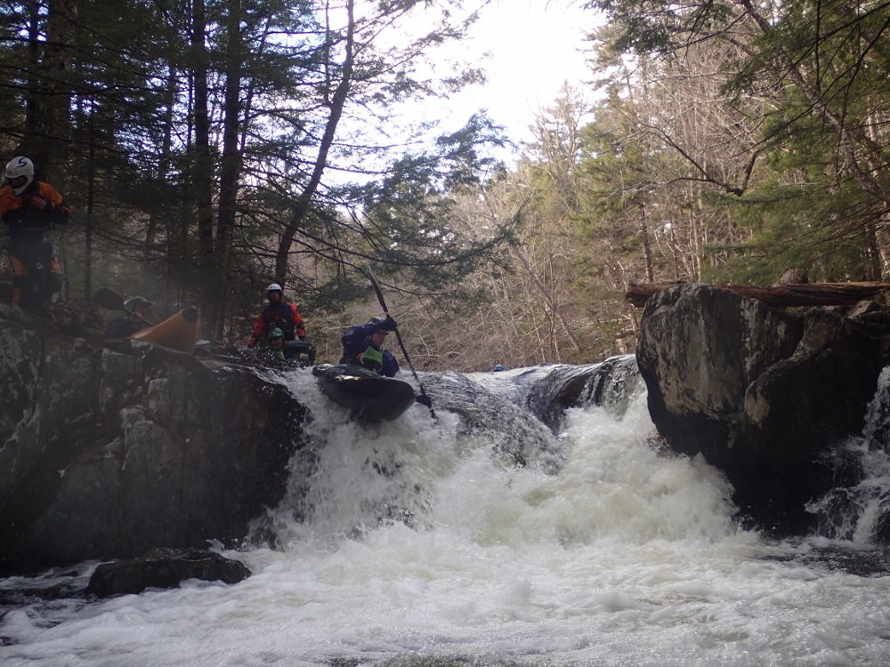
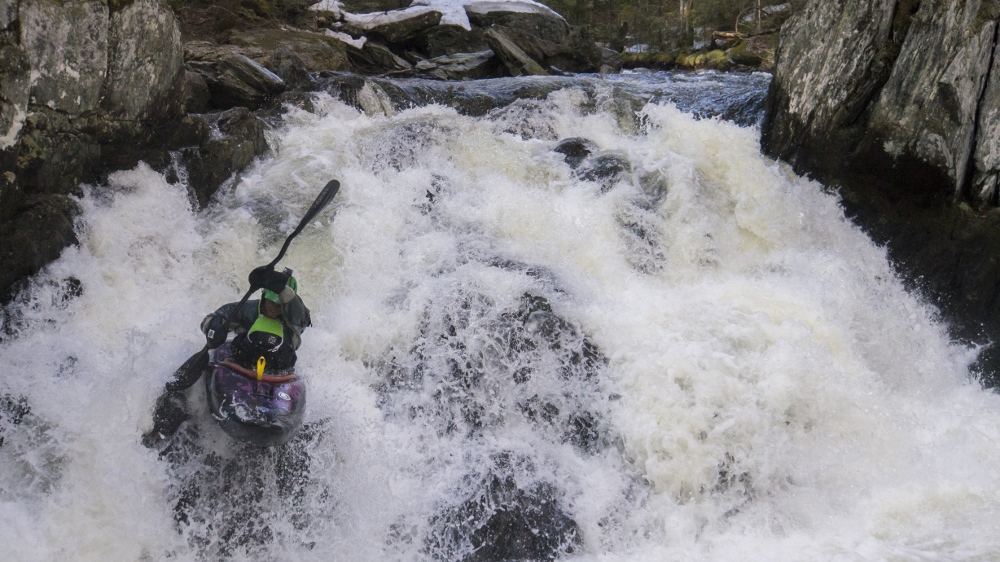
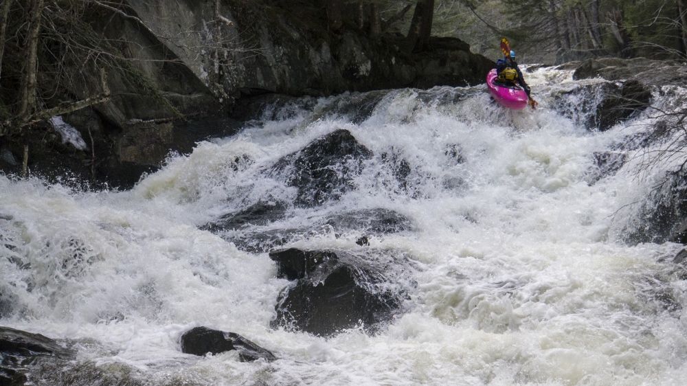
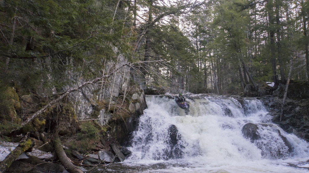
- Double Drop (V). This is the tallest drop on the run, and looks the worst too. A 5 foot boof lands on a shelf with large piton potential before going off a 10-15 foot falls. Some of us tried to boof for the seam in the center of the shelf and we hit rock pretty well. A few others went a little further right into the cushion on the shelf (those of us that went first thought the cushion would have a higher change of rock hit since a rock has to be backing it up to make that cushion) but they had clean sailing all the way through.
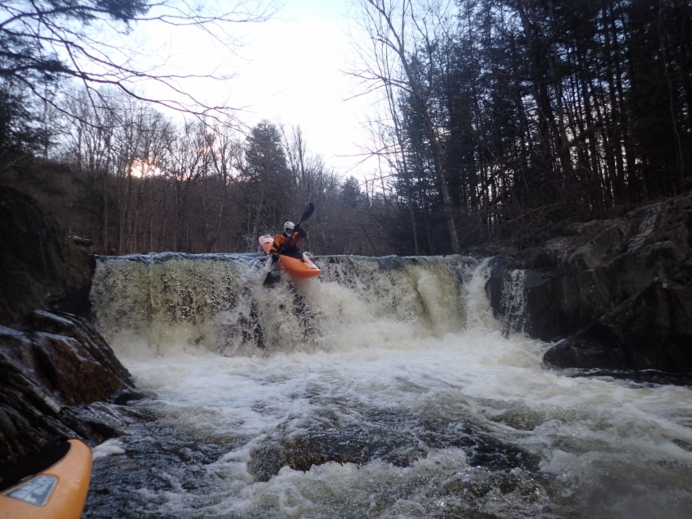
- Double Boof (IV+). At our flow this was sweet, we were able to boof the main curl of a 12 foot boof and then easily boof over the exit ledge. I was told at higher flows you have to grind the wall on the right around the main boof as the hole is concave and gets meaty.
- Take-out Falls (V). We very nearly walked the final falls. It was low and the water fans out over a wide shelf and to add to it, the left channel's entrance was blocked by a massive root ball from a downed tree. We were tempted to run right and work back middle, but the price of error would certainly be broken ankles if you went off the ledge too far left. And that looked totally possible. So we went to portage (take-out) on the left and saw you could put in at the lip of the main line on the left, just below the root-ball using a small ledge. So we did, and the left went great. A nice ending to the day.
Take-out: From Highway 2, take VT-12 North out of Montpelier for 13.4 miles. When you see a large turn out on the right park there. If you see a 15 foot falls briefly out your left window... you went too far.
Put-in: Continue up VT-12 for 2.4 miles to a turnout on the right. This is put-in.
HTML Comment Box is loading comments...