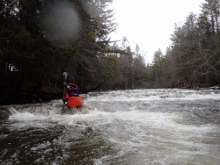
Joe's Brook
| Stretch: | Harvey Hollow to Brook Hill Rd | |
| Difficulty: | Class IV to IV+ | |
| Distance: | 5.8 miles | |
| Flows: | No gauge. Medium was ~350 cfs. | |
| Gradient: | 104 fpm | |
| Put-in: | Peacham Rd Bridge | |
| Take-out: | Brook Hill Rd Bridge | |
| Shuttle: | 8.6 miles (20 minutes one way) | |
| Season: | Spring from rain. Needs a lot of water.. dam release that only follows rain events | |
| Written: | © 2015 | |
| Featured in A Wet State #99 and in A Wet State's contribution to World Kayak's Video Guide | ||
North East Roadtrip 2015 - Day 7
Waking up at Culley's house one last time, we knew that this would be our last in Vermont. With some 17 hours of driving between us and Knoxville, and a desire to boat both Saturday and Sunday while working our way back, we knew we had to get at least 4 or 5 hours of driving under our belt this evening. But as far as what we would boat this day, we were open.
Culley had scouted Joe's Brook before as his family has a cabin nearby, which also made it high on his list. And with reports of medium flow in the river thanks to the recent rain (and the resultant dam release) the plan was set. Heading that way would also make stopping in Connecticut for the Housatonic the following day super easy. So that was an added bonus.
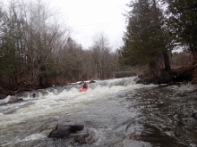
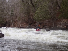
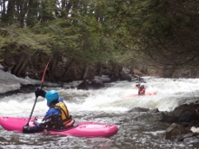
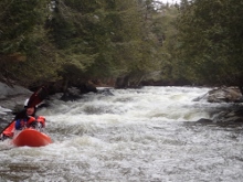
I didn't know what to think about the river, I wasn't sure if it was going to be that great, the book had it listed as a one-star out of 3, and had it listed as class IV. Since all the class V runs we did up North were more like class IV+, I thought for sure this would feel like a class III run. To my surprise this run was every bit class IV. I would say that a lot of class IV boaters wouldn't like it... not at this flow, and it isn't like we had high flow. I would say that the Covered Bridge rapid was certainly near class V due to its length and moves involved, but several other rapids also seemed to be pushing past class IV and into class IV+ range. I can imagine at high flows this river becomes a rip roaring roller-coaster ride of non-stop action... and with some tense moments thanks to the wood that is down throughout the canyon! With that though, there is just a handful of standout rapids, then a handful of good quality in between drops, and then miles of class II to III boogie. There are no pools at all on this river.
By the end, we were all smiling, pleasantly surprised and wondering why this river isn't held in better regard in the region. Perhaps it is just that we hadn't heard of it, but the few folks that gave us their thoughts suggested we would be disappointed. Strange. It was really fun and with this water level, very worthwhile. I could see due to the nonstop nature, if the water was low, the run would become very tedious, so perhaps folks just tend to go in a little low. Not sure.
As we loaded the cars at take-out our friend Reed suggested hitting Wells River which was just a few miles away. As tempting as it was to get 2 runs... we opted instead to begin our drive south, and bid adieu to Vermont. It ended up working out for the best though as our friend who recently moved to Rhode Island decided to drive an hour and a half to meet us for dinner in Springfield Massachusetts that night. After a nice dinner catching up we continued on and pulled into Macedonia Brook State Park for a night of camping ($27 a night for non-CT Residents) and fell quickly to sleep with a long day to follow.
Last: North East Roadtrip: Day 6 Afternoon (North Branch Winooski)
Next: North East Roadtrip: Day 8 (Housatonic)
- Boogie (III). Mostly totally mellow floating but near the end a few small slides in the class III range appear.
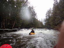
- First Slide (IV+). So, there was a log at the bottom on the left... even with that, I kinda regret not main lining it through the deeper channel, and deeper holes on the far left. Instead we kinda went down the middle which completely avoided the log at the bottom and also was on shallower water.
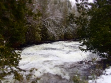
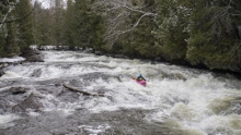
- Covered Bridge Slide (V). What a great rapid. A classic rapid in my mind. Long and with multiple moves, but not overly stressful either, this rapid was a blast. I was a little cold, so I opted out of scouting it hoping that I would get a pat on the head that it was nothing as the rest of the group scouted. Instead, Reed came back, gave me a pat on the head and said follow him. I was not anticipating such a big and long rapid as I crested the horizon! We started the lead in right before letting it push us all the way back left just under the bridge to punch a slidey hole. This one could be big at higher flows. Below, we worked down the right down some slides before allowing the river to move us back middle into the main current. From here, one last off angle ledge was best run right moving right.
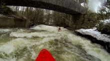
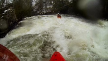
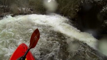
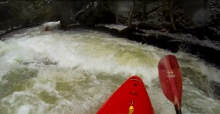
- This section is really one long rapid with crescendos that are class III to IV. I could not find the mileage of these rapids due to the photos on google maps not being great. But there were really 3 stand out rapids.
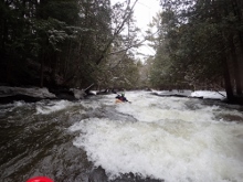
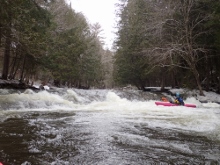
Early Slide (IV to IV+). Early in this section is a nice long slide with some punch holes. We went down the far left.
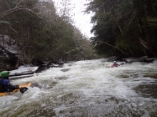
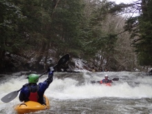
Joe's Falls (IV+). A tall drop that you wouldn't want to mess up due to some messed up rocks in the middle. You can easier run far left on a slide or far right over the ledge. We chose the far right. Be careful, just a bit too far left is a slab, and much too far left on this line meets a messed up rock in the middle.
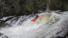
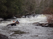
More boogie...
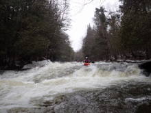
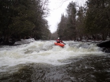
Triple Drop (IV to IV+). This rapid wouldn't have been bad if it weren't for a log half way down making it much harder. The river split around an island, both sides went. As the two sides came together the rapid dropped down into a tree most way across the right half of the river. There were eddies on the right above it, and left below it. We hoped from one to the other. The exit was a steep slide with a good size hole in the right of center.
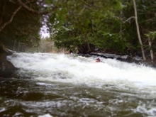
- Exit Gorge (IV to IV+). After one set of houses and meadow, you come into one short gorge. The entrance had a clean line on the far right. The exit was a drop into a walled out hole. The hole at this flow was not super bad. Just keep it pointed straight.
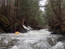
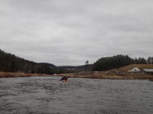
- Take-out Rapid (IV to IV+). Right at take-out is one last really nice rapid, that is also completely unlike the rest of the run. It is a three part rollercoaster ride all directly under the take-out bridge. The first move you just don't want to be far far left as the wall is undercut. We were center moving right, then ride the curlers back to the left and slide down into the bottom hole which does have some meat to it! First flip of the trip thanks to that bottom hole!
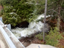
For more details on the run, see the AW write-up...
Take-out: From St. Johnsbury, VT, head south on US-5 and follow it for 6.1 miles to Joe's Brook Rd. You can take out down here if you want, or continue up 1.4 miles to Brook Hill Rd and park just after turning onto the road (at the bridge).
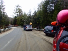
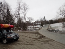
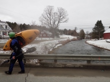
Put-in: There are various put-ins for this run too. You can extend it by several miles by putting in futher up. But we inspected it and it looked mostly mellow, so that with our time constraints we opted to put in at the Harveys Hollow Rd Bridge. Though now that I am looking at a map again, I think we took the long way. We went up Joe's Brook, crossing the river and continuing for a total of 5.4 miles before turning left at a very sharp turn onto Greenbanks Hollow Rd. We then followed this for 1.9 miles to the river, crossing it at the Covered Bridge. Immediately on the other side we turned right on Brook Rd and drove up the river (this road appears to start at Joe's Brook Rd before crossing the river 7 miles prior on the shuttle). Follow Brook Rd for 1.3 miles to the 4 way intersection. We parked on the far side of the bridge, but put-in on the river left.
HTML Comment Box is loading comments...

