Mulkhura (Third Gorge)
| Stretch: | Above the Enguri |
| Difficulty: | Class III to IV |
| Distance: | 4.2 miles |
| Flows: | No Gauge. Estimate at put-in: 1,000 cfs |
| Gradient: | 75 pm average |
| Put-in: | In Mesita, near the Margiani Guest House |
| Take-out: | Just below the confluence with the Enguri, town of Kvanchianari |
| Shuttle: | ~8 kms (10 minutes one-way) |
| Season: | Spring, Summer and Fall |
| Written: | © 2017 |
| Featured in A Wet State #131 and in A Wet State's contribution to World Kayak's Video Guide | |
Our thanks to our trip leads at Two Blade Adventures.
Republic of Georgia 2017 Day 12:
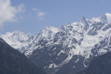
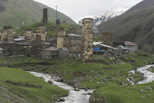
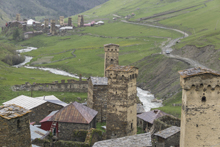
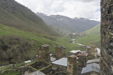
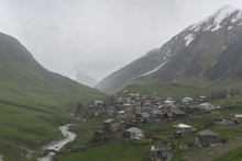
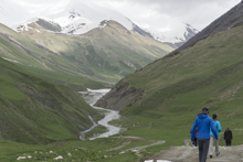
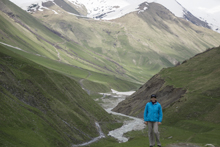
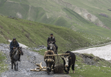
With very limited options for boating, it was decided that instead of repeating a run, that we would instead take a rest day and go to the highest continually inhabited village in all of Europe, the village of Ushguli. Ushguli is at the top of the Enguri river, at an elevation of ~6,900 ft above sea level. To this day there are 70 families that still make there homes here. To get to the village, you will need to hire a car to drive you, there are plenty and super obvious all over the streets of Mestia. The drive is 2.5 hours of slow, bumpy, and muddy driving which will take entirely too long. Once getting near, you will drive along a super scenic gorge which has been attempted in a kayak only once to date, which resulted in a swim and a risky climb out of the canyon to the road above.
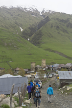
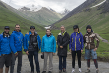
The town itself is actually 4 different villages, including a monastery. From the monastery you can take the 11 km one way hike to the glacier at the top of the Enguri. We hiked it for a bit, I had to turn back sooner than the rest due to my broken knee, but even after 1.5 hours the group could still not even see the glacier.
After the hike, we began our trek back to Mestia and our camp. The trip takes about 6 hours of driving and I think we hung out for 2.5 hours or so. It is one of those things, for me, I would rather have kayaked something, but I don't think everyone in the group felt the same way. It was cool and all, but once you have seen one of the Svaneti villages, I feel like you kinda have seem them all. But, perhaps I just have the jaded view because I was in a bad mood due to not being able to hike much so I spent most of the day by myself waiting for the group to return.
Republic of Georgia 2017 Day 13 Morning:
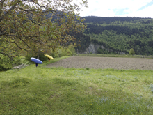
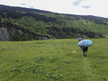
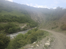
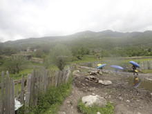
Our last morning in Mestia, we woke and prepared breakfast early with hopes of getting 2 runs in before driving some 5 hours to where we would camp that night. First on our list was the Third Canyon of the Mulkhura. This seemed simple in theory, but we accidently tried to get to put-in too early and therefore found ourselves in farmland on the edge of a cliff, overlooking the Second Canyon, which was too high to run safely at our flow. So, we trekked a good ways downriver to where the canyon walls pealed back and we were able to access the river. The irony was that some locals were trying to help us before we left our car, but Alona vetoed their help... as it turns out their suggestions were the exact same as our final access point. The final downclimb to the river was on a nice trail, though on this trail Kevin pointed out a large pipe that we stepped over was spewing raw sewage straight into the river 100 yards above where we were putting on. I didn't tell anyone else because why would they want to know? Maybe my karmic punishment was the bug I caught that caused me to shit way more than normal for the next 2 weeks.
The river itself was awesome. We certainly had high water, but it wasn't so high that it felt stupid. The first little bit was in an open valley, this provided a good warm up. Soon, the walls tightened and we entered a super cool gorge. The rapids here aren't harder than class III for the most part, but a swim would be terrible since the walls were shear for the most part and the current boiling. The river open and closed a few times, but the crux of the run was near the end, first where a scree field comes down from the right, this rapid has a bad undercut that the current slams into and lots of rocks to negotiate to avoid said undercut. Not far downstream one last significant rapid should be run far right to avoid the sieve on the left. Immediately downstream you hit the confluence with the Enguri (sometimes spelled Inguri) and quickly hit the bridge that marks take-out. The hike up from take-out takes maybe 15 minutes which gets you up to the village above and where you can actually get a car.
The other option is to continue downriver to the next bridge. This is the 4th Canyon... It is apparently class IV to IV+, for us it would have been on the very high side, but probably doable. Alona had only run it very low, and with all of us being a little tired, we decided to not venture down further into the unknown and play it safe with the high water levels.
So instead, we packed up and headed back downriver to get a section of the Enguri.
Previous: Republic of Georgia 2017 Day 11 - Mulkhura (First Gorge)
Next: Republic of Georgia 2017 Day 13 Afternoon - Enguri (Below Nenskra)
Mi 0.0:
- Shoals (III to III+). The first part of this run is in an open valley and is formed by gravel bars similar to those above the first canyon. But these are for sure more on the class III side rather than the class II to III side.
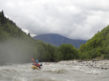
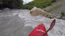
- Gorge Entrance (III). The entrance to the gorge is pretty obvious as the walls appear tighter and you enter a rapid which leads to a completely walled out section. We ran it down the middle. Honestly, harder than the rapid is the boils, seams, and weird currents downstream as the water ricochets off the tight walls.
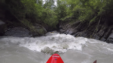
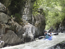
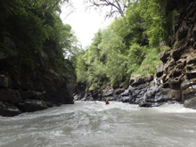
- Bridge (III). The road bridge is high overhead, and you get to a rapid with some pockets along the left wall. Nothing too bad, just avoid the left wall.
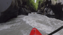
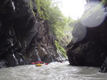
- Waterfall (II+). An easy rapid, but so so pretty with a waterfall dropping in 50 ft from the top of the wall into the main current. It creates a bit of wind at the base as it is landing in a very constricted spot!
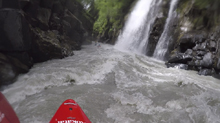
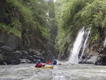
Boogie (II to II+). The river opens up a little just downstream. There is still some nice class II to II+ in here though and the scenery stays superb.
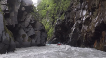
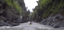
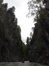
- Landslide / Undercut (IV- to IV). A large scree field on the right marks this one, it is hard to eddy out, but it is possible. The hazard is that the water all hits a badly undercut rock. At our higher flow we were able to run left and stay left. At lower flows you have to rock dodge down the right and cut left.
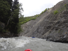
Boogie (III-). The walls then tighten back up and you have some boogie to negotiate.
- Sieve (III+ to IV). As you round the corner and the walls open back up a little, stay right and run down through the holes. The left side of this river ends up in a sieve. As long as you are right of the rock at the top you are good. Note at our high flow, the bottom hole ended up in a recirculating pool. You had to paddle a bit to clear through.
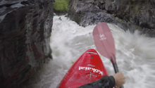
- The Enguri enters on river left, and the river changes names to take the Enguri's name. One last rapid awaits downstream, it is just boogie and no big deal, but is probably class IIIish.
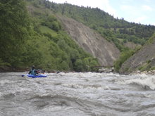
Put-in / Take-out: Use the GPS coordinates in the map and a mapping program on your phone. The street names will not be legible anyways...
Put-in: honestly, we didn't find the right place immediately... but if you find the downriver sub-town of Mestia (not the main touristy part) you can find it. From the main tourism city, it is between the first and second major tributary that you will cross. There is a trail down to the river.
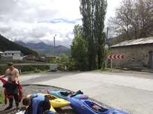
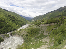
Take-out: There is a rough access bridge over the river, just below the confluence with the Enguri. Near the town of Kvanchianari.
HTML Comment Box is loading comments...
