Enguri (Below Nenskra)
| Stretch: | Nenskra to the highwater mark |
| Difficulty: | Class III |
| Distance: | 5.5 miles |
| Flows: | This one has a gauge! We had: 14,600 cfs (414 cumecs) |
| Gradient: | 35 fpm average |
| Put-in: | Side of the highway, 100 yards below the Nenskra |
| Take-out: | Near the highwater mark of the lake |
| Shuttle: | 8.5 kms (10 minutes one-way) |
| Season: | Spring, Summer, and Fall |
| Written: | © 2017 |
| Featured in A Wet State #131 | |
Our thanks to our trip leads at Two Blade Adventures.
Republic of Georgia 2017 Day 13 Afternoon:
We originally drove past this section on our way up to Mestia a few days earlier. We stopped to look at the cascades that are immediately above the confluence with the Neskra. This section has never been paddled, and you can see why, with the huge gradient, hydraulics, and sieves. Our plan, was to put in 1 km downriver of the confluence where the gradient tamed off.
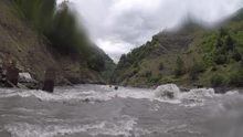
We parked in the middle of the highway and climbed down to the river. The first few rapids were the biggest as it was the final gradient of the gorge which contained the cascade above. Quickly though, the river opened up to be class III- to III big water. No hard moves, a few huge and obvious holes to avoid, but lots of boils and seams to negotiate.
I thought the run was fun, though the miles were very short and we were boating at ~12 miles per hour apparently according to our shuttle driver. After finishing, we climbed up the steep river side to the car on the road above. And then packed up and continued driving back South. First, we would have one more nice night of camping. This time, Alona chose a natural hot spring as our camping area. Arriving at dark, some took showers while others went straight away to bed.
Previous: Republic of Georgia 2017 Day 12 & 13 Morning - Ushguli and Mulkhura (First Gorge)
Next: Republic of Georgia 2017 Day 14 - Tekhuri (Lower)
Honestly, all of the rapids were just big waves and seams. I am sure at other flows this all is different, so I am not going to bother going into great detail.
Mi 0.0:
- Start (III to IV). The start was the most constricted and intimidating due to lack of options to move around. But it was fine. I honestly think that none of the rapids are above III in here, but the water is big, and a swim would be bad...
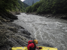
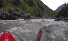
- Pour Over (III). There was a rapid with a gravel bar on the left shore where the river bent left around it. There is a huge and obvious pour over in the middle and right. Stay far left. Huge pour over.
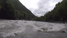
- Bridge (III). Somewhere in here, there was a car bridge over head. Below, was one of the meaner rapids. Was straight forward, but you had to punch some crashing waves and hit a seam. You may flip, just hang with it. The river then bent to the right immediately below.
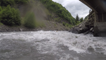
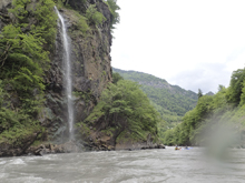
- Pylons (III-). Nothing to see here, just some huge pylons for what I assume is a future bridge. Stay far left to avoid the large hole formed by the structure in the middle.
Put-in / Take-out: Use the GPS coordinates in the map and a mapping program on your phone. The street names will not be legible anyways...
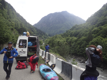
Put-in: We honestly just pulled over in the middle of the 2 lane highway and unloaded, got changed, made lunch and scrambled down the to the river. A cop stopped and made sure we were ok, and didn't care we were blocking an entire lane. We put on where the gorge opened up maybe 200 yards below the Nenskra came into the Enguri.
Take-out: After passing some powerhouses, you could tell we were below the highwater mark. The take-out is completely non-descript from the river. Scout before hand as it is a scramble up to the car. The car can park in a nice big turn out just off the main road.
HTML Comment Box is loading comments...
