Mulkhura (First Gorge)
| Stretch: | Above Mestia |
| Difficulty: | Class III to IV |
| Distance: | 4.6 miles |
| Flows: | No Gauge. Estimate at put-in: 300 cfs |
| Gradient: | 88 fpm average |
| Put-in: | Bridge downstream from Majvdieri |
| Take-out: | Visitor Center thing before the confluence with Mestiachala |
| Shuttle: | 7.6 kms (10 minutes one-way) |
| Season: | Spring, Summer, Fall |
| Written: | © 2017 |
| Featured in A Wet State #131 | |
Our thanks to our trip leads at Two Blade Adventures.
Republic of Georgia 2017 Day 11:
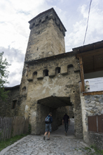
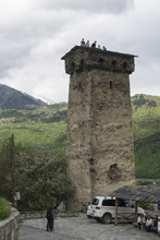
The first day in Mesita, we awoke to cold and sorta rainy weather. We knew that the only run that may be low enough and worth while to run was the First Gorge of the Mulkhura, which we also knew was a short run. So we spent the morning and early afternoon playing tourist.
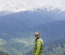
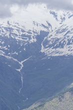
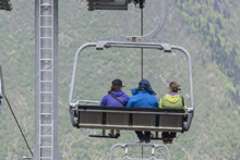
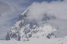
Our first stop was the birth place of world famous alpinist Mikheil Khergiani. This climber was arguably the best climber to ever live in Europe, many of his routes have never been repeated. After that we headed to the Hatsvali ski resort, which although did not have snow, had an open lift which we were able to take to the top of the mountain for a wonderful view. We then headed to the river.
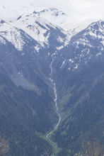
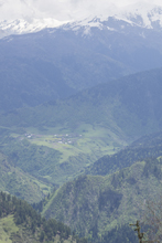
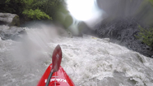
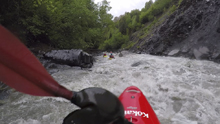
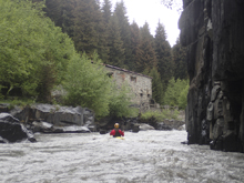
We checked flows at take-out to confirm it was ok. Take-out also has a natural spring which is naturally carbonated. Super strange. But delicious! Arriving at put-in, several in the group decided that they didn't feel like boating. 10 days in a row was starting to take its toll I guess! So, 4 of us suited up and headed off, just as a thunderstorm rolled in. The first half of the run was in an open valley, just class II/III but very cold. We then pulled away from the road and approached an obvious canyon. The canyon is a little notorious for collecting wood, so we scouted the entrance since the first 200 yards there is no stopping. Once in the canyon, there were enough eddies to work our way down and avoid the handful of logs that were present and in play. The scenery in the canyon was superb. Shear walls rising straight out of the river, at places rising ~500 feet. The rock was shale and basalt, giving it a few nice appearance. The rapids were honestly a little manky, not classic by any means. But the scenery for sure makes this run worth doing.
For flows, look for the put-in to be not flooded nor too many exposed stones. At take-out, it looked plenty full but again, not flooded. I wouldn't actually want to go in here much lower just because the nature of the rapids. And much higher would be tough due to the wood.
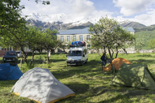
That night, we went back Mestia and walked around town a little before heading back to our campsite, where we had a nice dinner in camp as we settled down for the night.
Previous: Republic of Georgia 2017 Day 10 - Khobis-Tskali (Lower)
Next: Republic of Georgia 2017 Day 12/13 - Mulkhura (First Gorge)
Mi 0.0:
- Shoals (II+ to III-). The first ~2.7 miles is in an open valley and consist of shoals that, assuming you have enough water, were more fun than they looked from the road. One section near the start was maybe III+ just due to rock negotiation. But I am sure that these rapids change all the time because 1) they see high flow and 2) they are actively collecting the rocks for construction.
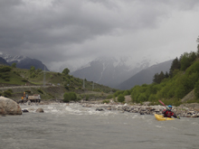
- Entry (III+). The valley ends with an obvious horizon which deposits you inside the canyon walls. This section of the canyon is super tight, and often has wood. Our day wood was stacked across the walls 10 feet above our heads maybe 100 feet into the canyon. The rapid was easy to scout on the right and was left to middle to punch a soft hole.
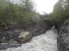
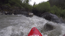
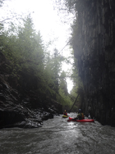
Boogie (III). Downstream, always be on your toes for wood.
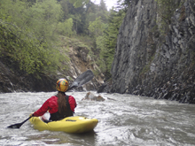
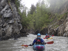
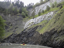
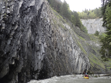
- Wall (IV). There are several very large walls in this canyon, this one is on a left bend and has a large basalt scree field at its base. Alona scouted and provided beta. The line was down the right in a pinch to a seam, then the rapid opened up and you wanted to be back on the left.
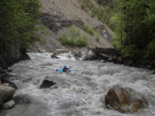
Boogie (III to IV). Downstream is the hardest boogie stuff. Logs are a concern, we had to hurriedly sneak around one. Also, sieves are present. It was all boat scoutable though below here.
Put-in / Take-out: Use the GPS coordinates in the map and a mapping program on your phone. The street names will not be legible anyways...
Put-in: The last bridge on the main road before the road begins to climb up and over the pass.
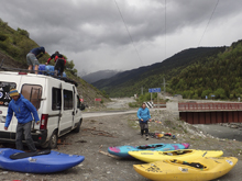
Take-out: On the main road, just on the upstream river left side of the bridge over the Mulkhura, there is a small road that drops down to an old visitor center sort of building.
HTML Comment Box is loading comments...
