Chakvistskali (Lower)
| Stretch: | Khala to the Black Sea |
| Difficulty: | Class II |
| Distance: | 5.4 miles |
| Flows: | No Gauge. Estimate at put-in: 1,000 cfs |
| Gradient: | 53 fpm average |
| Put-in: | At the access just upstream of the town of Khala, downstream of a tributary |
| Take-out: | Confluence with the Black Sea |
| Shuttle: | 8.2 km (20 minutes one-way) |
| Season: | Spring and ? (Needs rain) |
| Written: | © 2017 |
| Featured in A Wet State #130 | |
Our thanks to our trip leads at Two Blade Adventures.
Republic of Georgia 2017 Day 4 Afternoon:
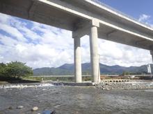
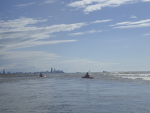
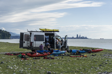
This run won't be done commonly... it is all non-descript class II with a few fun splashy class II+. We did it because after doing two laps on the section in the National Park, we wanted to float the entire way down to the Black Sea. So we did. There was one quick portage under the road bridge high above, where the water when into small pipes. This was a construction zone so I imagine it will change again. We then hit the Sea and dried our gear on a beautiful day while enjoying the view of the distant skyline of Batumi.
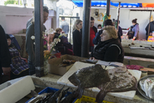
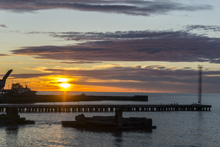
That evening, we went to a fish market where Alona choose a selection of fish for us which was then cooked at a nearby restaurant. We ate the dinner, on the top, open air, balcony of the restaurant, where we watched the sun set, before heading back to Egor and Alona's house in Batumi.
Previous: Republic of Georgia 2017 Day 4 Morning - Chakvistskali (Mitrala National Park)
Next: Republic of Georgia 2017 Day 5 Morning - Chvanistskali
Mi 0.0:
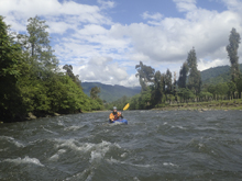
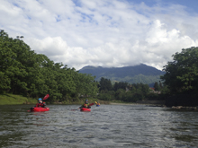
- Class II and II+. Honestly, none of the rapids are really different. They are all just kinda boogie boulder gardens.
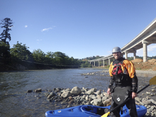
- Bridge (P). When you get to the highway bridge, note that much of the water goes through pipes under some construction. Who knows if this is permanent. We portaged quickly on the right.
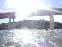
- Black Sea. The last few tenths of a mile to the sea are flat and a little slower than the rest. But you get to the sea at mile 5.4.
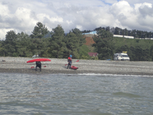
Put-in / Take-out: Use the GPS coordinates in the map and a mapping program on your phone. The street names will not be legible anyways...
Put-in: After the dam and the resulting boogie, a tributary enters on the right. Get out just below the tributary at the low water dirt road. You can see the dam from the road.
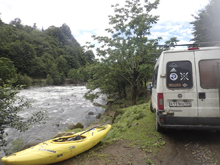
Take-out: Where the river hits the Black Sea, take out on the left side of the shore.
HTML Comment Box is loading comments...
