Chvanistskali
| Stretch: | The Only Section |
| Difficulty: | Class V |
| Distance: | 5.9 miles |
| Flows: | No Gauge. Estimate at put-in: 300 cfs |
| Gradient: | 175 pm average |
| Put-in: | Between Khabelashvilebi and Tskhemlisi |
| Take-out: | Adjaristskali Confluence |
| Shuttle: | 9.3 kms (20 minutes one-way) |
| Season: | Spring and ? |
| Written: | © 2017 |
| Featured in A Wet State #131 | |
Our thanks to our trip leads at Two Blade Adventures.
Republic of Georgia 2017 Day 5 Morning:
So honestly, I didn't get to do much of this run. But I am still including it because why not.
We had hoped to do this run earlier in the week, but high flow had skunked us. We had hoped that after 1.5 days without rain we would have lower water, but arriving at take-out Egor declared "I had hoped it would drop more." We decided to scrap the top km of the run which is the steepest. But we still went up to scout it as it wasn't much further from the trail we used to access the river below. That top km was in fact very steep and essentially non-stop rapid. Our decision to put in below was made moot by a log in the crux move making it unrunnable anyways. Instead, we access the river via a trail which then wrapped around and was narrow and muddy and on a 50 foot cliff. Not the time to fall! Arriving at the river, we found a big rapid directly below put-in. We took a quick look at the top two moves and Egor asked if we wanted to ferry over to scout further. We declined and shoved off one at a time.
I ran the first two boofs and saw Alona upside down against a tree. As I slowed my downstream momentum as much as possible without jeopardizing getting stuck in a hole myself, I see her flush off and now clinging to the wall as she exited her boat. I ask her if she is ok and verbally here what I think was a yes. I look for an eddy and move left towards the wall thinking one may appear. But instead of an eddy, the next ledge had a log... one on the left side, one which I boofed under, and then got pulled back into the hole at the base of the ledge. After a brief fight I end up swimming and pop up still in the hole. Egor paddles into it and pulls me out as I notify him Alona is also swimming. In review of the video he already knew that as her boat passed me while I was in the hole. After a few attempts Egor gets me to shore, super tired, and just in time to see my boat float downstream with Alona's. So, after a few minutes while I catch my breath, Egor and Diane have make contact with Alona and she is safe, Jo and Kevin pendulum me over to the correct side of the river to hike out as making downstream river level progress without a boat is a no go. Near the top of a muddy steep hillside my footing and handholds give way and I slide 50 feet at high speed back down towards the river and a huge rock on the bank. I am so thankful that I was able to control the slide just enough to avoid breaking my legs and instead dismounted from the slide gracefully. This time, with a Alona lowering a rope down to me, I am able to get to the top and we hike up to the road. A few minutes later, we get called that they found the kayaks a km downstream,, both pinned in the same rapid, along with my paddle (Alona's paddle was pulled out during the rescue). I decide not to put back on as I was a bit spooked, Alona decided to get back on the horse. Egor was a champ and hiked my boat with Jo's help up to the road saving me the effort.
After 30 minutes I decided to reconsider rejoining the group, so Liza (our driver) and I headed to the bridge at the mosque to meet them. After waiting an additional 30 minutes, the group came into view and I climbed into my boat... only to find pieces missing after the long solo journey downstream. So, with the run being reported as class IV to V (mostly IV/IV+ but class V consequences for sure) it was decided with Kevin that putting in without those pieces was a mistake and unsafe... so I carried by boat back to the car and headed downriver to the take-out, frustrated at myself, frustrated at the gear, frustrated at the situation... all of it.
The group said that only like 3 rapids were bigger, and none were as big as the first one. But that there were numerous busy rapids and large boofs. Eddies were more plentiful then the Chirukhistskali but some rapids were still run blind. They said that though the moves themselves were only class IV to IV+, the day was class V for sure. There were also 3 portages that the group made, at least one was long and somewhat exposed on a muddy hillside. It also was most of the groups favorite run of the trip. So it sounds like they all would say it was very worth it.
That evening we were meant to head to a host family for dinner. We had initially thought we might have time to do the Upper Gorge of the Adjaristskali but as it turned out the run took the better part of 4 hours due to the swim, gear recovery, and portages. Rather than head up to the Upper Gorge, Egor was willing to do the Middle Gorge, which uses the confluence as the put-in. This meant that we didn't have to drive anywhere, just continue downriver instead of taking out. So, with me in a bad mood, and the group not super sold on doing the class III section... I pushed off, not caring if anyone else came. In hindsight, this was the low point of the trip for me. And I am bummed I let myself get so grumpy.
Previous: Republic of Georgia 2017 Day 4 Afternoon - Chakvistskali (Lower)
Next: Republic of Georgia 2017 Day 5 Afternoon - Adjaristskali (Middle Gorge)
Mi 0.0:
- It really depends on where you put-in... if you put-in 100-200 meters above the bridge where the big one is, you will get some fast class IV+ to warm-up on.
- Biggest Section (V). The first major rapid is very large. Multi-tiered entrance with stout holes is just the beginning, make sure you walk down the trail on river left before putting on. As the river bends left there is a tight constriction with a thin line off a flake before a second tight constriction with a hole. There was a tree in the bottom move our day. Also, at lower flows some people catch an eddy just before the final two tiers to either scout or portage from. You would for sure want to know where the eddy is before hand as it is small!
More... (V). We didn't see any of this as the water was high and we put-in below. But apparently, 100 feet down river the river bends right and again gets steep and it stays pretty steep for the first bit.
- Our Put-in (V). Our put-in was just above the last of the standalone class V rapids. The top two thirds was scoutable from river right, which we did. Egor asked if we wanted to scout from the other side, we all said it was ok and put on. Honestly, I don't think we realized we didn't see the whole rapid. The part we saw, started with a slot boof down the middle over a good size hole. This then led quickly to a small ledge that you wanted to boof left on. The right side went into a big flake. One in our group hit the flake and dropped into the hole and got worked. As I crested I saw her upside down below, getting raked over rocks and float into a tree. I drop down the subsequent cascade right of center, and check my speed to see her climb out onto the shore, holding onto the log and the shore. I then move to the left to try to spot an eddy to catch... now we are below where we scouted, so I am unaware of the next ledge, nor the fact that there is a log blocking the left... so I boof and land directly under it. Going right was the straight forward line. I swim... and Egor chases me for a good while and gets me to shore but my and Alona's boat heads downriver.
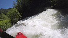
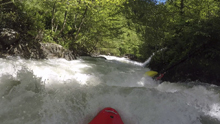
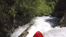
Between (IV to V). I didn't get to do any of the rest of the run... but I do know a few things about it. The next 0.5 km has some nice rapids including an 8 foot boof. Our boats then pinned in the same rapid, where the team was able to extract them. Alona carried on. I did not. I was also missing foot plate somehow from my boat.
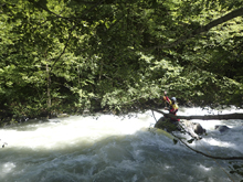
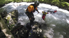
The Rest (IV to V). Diane characterized it as class IV to IV+ but the continuousness nature of the run made it feel class V for sure. Kevin characterized it as class IV to V. They made several portages around wood, so be cautious. At least one took a long time and was a bit exposed on super loose mud.
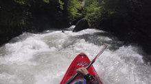
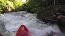
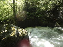
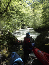
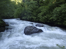
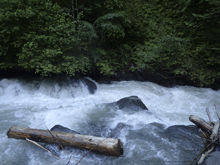
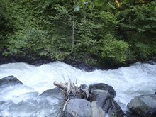
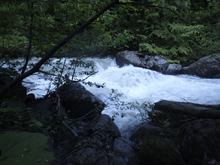
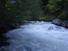
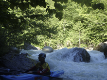
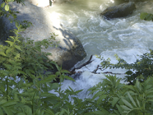
- Mosque Bridge. This is a spot you could put on for a much shorter day or you could take-out here if you need. The team took about 1 hour to get here from where my boat had pinned.
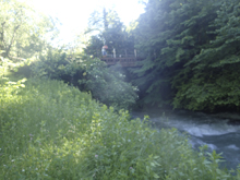
Paddle out (IV to IV+). I understand that the river got a little easier below here though another portage or two was present.
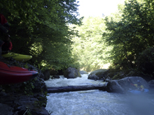
- The river opens up and you are greeted with class III to the take-out just before the confluence with the Adjaristskali.
Put-in / Take-out: Use the GPS coordinates in the map and a mapping program on your phone. The street names will not be legible anyways...
Put-in: If you use the upper put-in, you can walk down a dirt road to a bridge over the river 100 yards down the narrow road. The biggest rapid is immediately below. People put in 200 yards upstream. We put in below the crux section. To do that, not far from the road spur for the upper, just past a small creek crossing, on a corner, there was a small "trail" that led down the corner of the hill. We went down, then wrapped around to the left to get to the water.
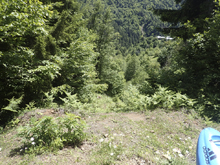
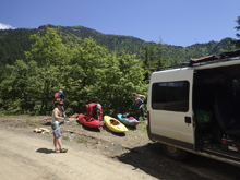
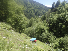
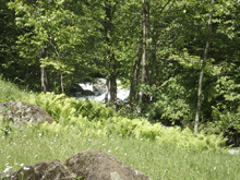
Take-out: At the highway bridge. River left just downstream of the bridge.
HTML Comment Box is loading comments...
