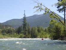
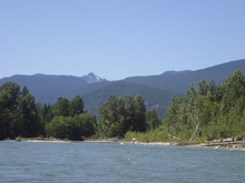
Cascade River (Marble Creek)
| Stretch: | Marble Creek Campground to Cascade Wagon Road Campground |
| Difficulty: | Class IV to V |
| Distance: | 7.85 miles |
| Flows: | 700 to 3,500 cfs. Check out American Whitewater's current flow on the Cle Elum (look for 700-1,700) gauge. |
| Gradient: | 87 fpm average (159 from Entrance to Irene Creek, 123 from there to the bridge) |
| Put-in: | Marble Creek Campground |
| Take-out: | Cascade Wagon Road Campground |
| Shuttle: | 7.8 miles (15 minutes one way) |
| Season: | Winter from rain. Spring and Summer from snowmelt |
| Written: | © 2018 |
| Featured in A Wet State #140 | |
Jobless Summer 2019 Roadtrip:
Day 16 - North Cascades National Park (Thunder Knob Hike)
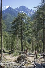
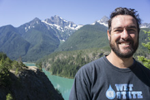
Waking up in Seattle, we had a leisurely morning before heading out to drive to the North Cascade National Park. We found camping at the base of Thunder Creek (one of the better creeks apparently in the area) and then went on a hike up to Thunder Knob for some pleasant views.
Day 17 - North Cascades National Park (Marble Pass Hike)
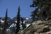
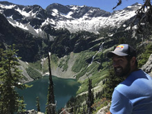
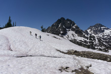
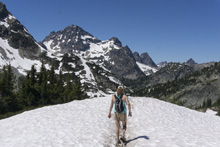
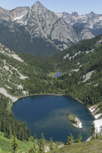
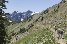
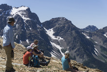
The next morning we planned to do a full day of hiking, though we weren't quite sure what would be in store. We were thinking that the snow on Marble Pass may prevent us from doing the full loop, so we had another half day hike in our back pockets if that was the case. As it turned out, it was not the case. Instead, we hiked the 7.5 mile and 2,100 ft elevation gain loop and received the spectacular views from the top.
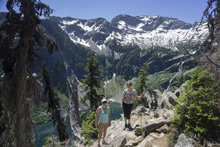
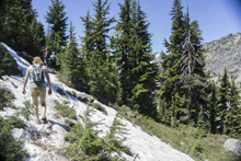
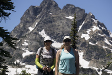
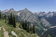
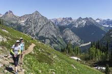
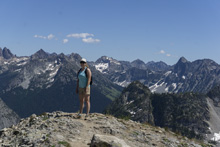
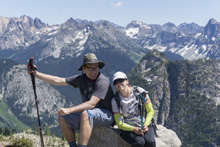
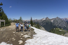
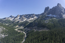
Day 18 - North Cascades National Park (Blue Lake Hike)
Everyone was a little tired this day. So we woke up and did a short hike up to Blue Lake before going back to Mazama for some beer, ice cream, and a swim in the river. It was quite refreshing. The hike the Blue Lake was also nice, I think it was 4.5 miles and about 1,000 ft of elevation gain. I went for a brisk dip at the top which was a nice way to cool off!
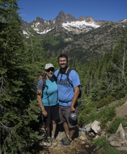
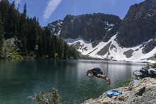
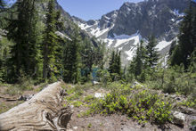
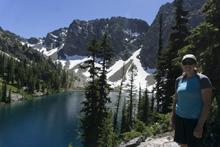
Day 19 - North Cascades National Park (PCT Hike and Bike Descent from Slate Peak)
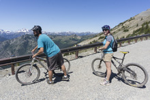
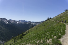
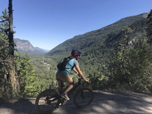
One last day of hiking in the National Park was in store. The previous day when we were in Mazama, the outdoor shop folks told us that we should go up to Slate Peak and hike the PCT up there as another must do for the area. So that was our plan. Slate Peak is some 4,500 feet above the valley below in about 12 miles of distance. Once up there, Diane and I quickly realized it would be a hoot to ride down from the top. So we did... At first, we rode the 4 miles down to where the PCT was. Then we hiked along the PCT with Diane's family for 5.5 miles before finishing the descent. I have to say, riding down a hill is a lot of fun, especially when you didn't have to climb up the hill!
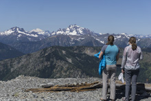
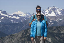
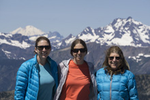
Day 20 - Cascades River (Marble Creek)
After waking up with Diane's family, we all said our goodbyes and headed down back towards the coast. The Cascade River was super convenient in that it was only 5 minutes out of our way to take-out. With the fact that Nicole Mansfield mentioned while we were on the Ohanapecosh that the Cascade River is one of the best rivers in Washington, we knew we had to do it!
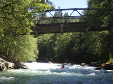
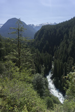
From take-out, you begin heading up the canyon and just about never get glimpses of the rapids. One big exception is a turnout that gives you a view into Bridge Rapid. Making this stop and looking in definitely made us nervous. The rapid looked big, and the holes powerful. And anyone who has ever scouted from high up knows that holes are always much bigger once down at river level! With new added nerves and a sense of care in our approach, we still decided to put on.
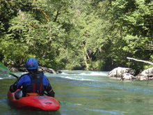
The river starts not too far below put-in, and it starts with a bang. Literally, that is the name of the rapid. This rapid's lead in was easy enough but then we did a long scout of the bottom half in order to get a view of the next eddy. After running the rapid with two different lines, we scouted again, and then again. The second part was the Bridge rapid. And to our surprise, the river was actually less powerful then it looked from the road and we ran the meat of several of the holes. Downstream we were greeted with a nice section of boogie which led to the last two major rapids, both of which we scouted on the left. The second of which we portaged.
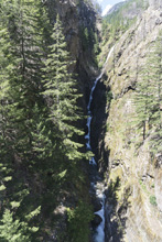
Immediately downstream of the portage we took a break next to the beautiful creek that comes cascading down to the river. The moss on the creek's left shore is so soft and fun to sit on, with the large waterfall as your caveman tv. Downstream, more fun class III and IV continues and we boat scouted our way down everything, though there was one blind horizon that snuck up on us in this section. Before long, the canyon opened up and the paddle out began which was class I-II and went much longer than I anticipated. In hindsight, we should have used the optional take-out that cuts off a lot of this flat water. Lesson learned eh?
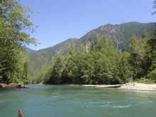
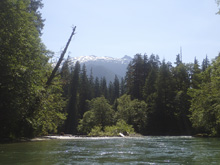
In total, I thought this river was a lot of fun. Some big rapids. Lots of fun moves. Wonderful water color. And nice scenery at times. We had 1,400 which I thought was a nice padded medium flow. I can imagine some of the boogie gets rocky low but I can also imagine the big rapids get huge with higher flow. Anyways, if you find yourself in the area, this run is worth doing for sure!
Previous: Jobless Summer 2019 Roadtrip - Day 15: Skykomish (Confluence to Railroad Bridge)
Next: Jobless Summer 2019 Roadtrip - Day 21a: North Fork of the Nooksack (Horseshoe Bend)
Mi 0.0: Mi 1.25:
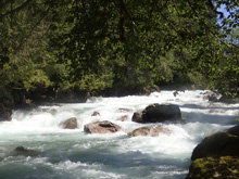
- Entrance (III to III+). On a left bend the river suddenly turns on edge. Technically this is part of the next rapid, but it felt like two rapids to me so I broke it up. We ran down right of center through the wave trains to catch an eddy on the right before the next horizon line.
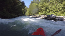
Starts with a Bang (AKA SWB) (IV+ to V). Multiple lines, and it just keeps going around the corner and into Bridge Drop. So, it is wise to scout, though that also isn't super easy. We scouted on the right. There was a line on the right down a tongue which then required a thin line through a window in the center hole. There was also a multi tiered section down the left on this phase. Diane went right, I went left. Below, the two paths converge and go through two soft holes. We then eddied out on the right.
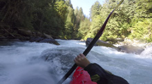
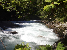
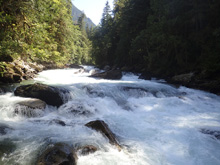
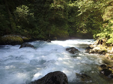
Around the Corner (IV-). Basically a continuation of the above rapid, as you go around the corner you might want to scout again just to ensure whats going on. We went down the middle at the top and cut back hard left to avoid some meaty holes out in the middle. We then eddied out again on the right before the next horizon.
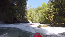
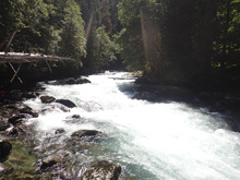
- Bridge Drop (V- to V). Again, we scouted on the right. There used to be bridge debris in the river, it is gone, but there is plenty on the shore still. You can also see this rapid from the pull out during the shuttle, the one time you can see into the river. And the river actually looked worse from several hundred feet up than it did at river level. For once. Anyways, the lead in was through a large hole, on the far right was a nice window, mind the undercut on right directly next to the window. We then eddied out right just below. From there, we entered far right and then went right into the smaller channel where we boofed over the top hole and then ran some narrow slots down that right side. The main flow is out in the middle, but it looks huge. Maybe scouting on the left would yield some insight into if it was runnable.
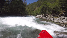
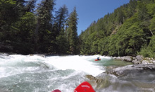
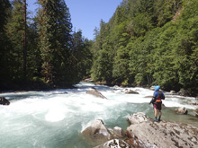
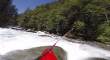
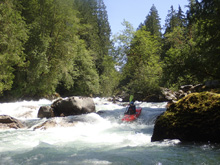
Boogie (III to IV). The boogie here is a nice respite from the above action. It is all read and runnable and just consisted of open river hole dodging and boofing.
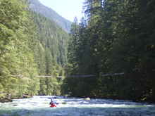
- Premium (IV+). After some long boogie you get to an obviously larger horizon that is blind from above. We scouted on the left easily. Scout earlier rather than later though as the line is on the far right, we had to carry back up a short ways to make the ferry. The line was down the right, we boofed over a small rock and then just ran down the tongue and into the soft wave hole below. The left is a large hole.
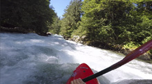
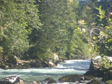
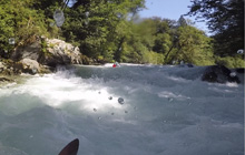
- Monster (V). Only a small pool separates Premium from Monster, but a pool non-the-less, maybe the first on the river since the action began. Scout on the left, the river is pretty open so the scout is easy. The lead in wasn't bad, right to left through a hole. The middle however was ugly with a main move with all sorts of pin rocks. There was a small line boofing a small channel left of the main flow. We decided to walk as it just looked consequential and with only two of us, safety was tough. We put in and ran the run out down the left.
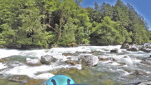
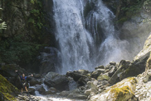
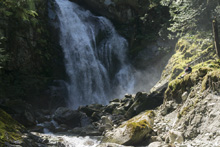
Irene Creek enters on the left, the moss on the right shore up at the falls is awesomely soft. It is worth a few minute detour.
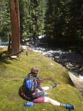
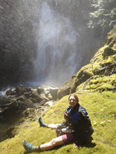
Boogie (III to IV-). Boogie Continues. There were two of note...
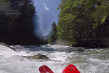
Left Turn (III+ to IV). There was a blind corner due to a large rock blocking the downstream view. I hoped into an eddy on the right, at the elbow of the turn to take a look below, from the boat I could tell it went fine.
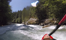
- Shark's Fin (IV). This one is on a gradual left bend, I kept thinking I would see more as I approached the rapid and it kept maintaining its blind ledge feel. I went left and found a small ledge with a reasonably size hole to boof through. There is a fin rock out to the right where the rapid gets its name from. I am not sure if there is a better line.
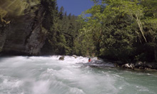
Take-out: From the town of Marblemount on WA-20, head E for 0.9 miles before turning right and crossing the Skagit River on Cascade River Rd. Follow this road for just 0.7 miles and you will get to a campground on the right. We took out here, though it is private property. There were also a lot of folks fishing on the other side of the bridge over the Cascade River on Rockport Cascade Rd, thought we didn't see great parking there when we looked.
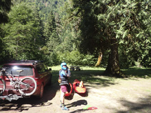
Put-in: Continue up Cascade River Rd for 7.8 miles. Soon after crossing Marble Creek you will see signs for the forest service campground, Marble Creek Campground. Turn right and head down and around to the day use area at the bottom which is in a grass field. Note it does cost $5 (in 2018) to access the river via the day use area.
HTML Comment Box is loading comments...

