Wenatchee River (Tumwater)
| Stretch: | Below Swiftwater Picnic Area to Last Exit |
| Difficulty: | Class IV+ to V |
| Distance: | 4.95 miles |
| Flows: | ~800 to 8,000 cfs. Check out American Whitewater's current flow gauge. |
| Gradient: | 35 fpm in the "3 Amigos section" and then 83.5 fpm below |
| Put-in: | Either at turn out above The Wall, a half mile downstream of Swiftwater Picnic Area or at the base of The Dam. |
| Take-out: | Above Last Exit, on US-2 |
| Shuttle: | 4.95 miles, roadside. 5 minutes one way |
| Season: | Early Spring and Summer from snowmelt. Too high at peak snowmelt |
| Written: | © 2018 |
| Featured in A Wet State #140 | |
Jobless Summer 2019 Roadtrip - Day 13a:
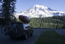
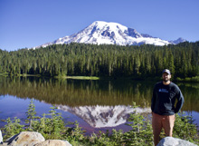
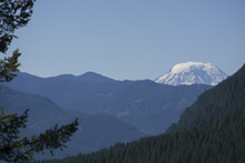
We woke up early as we had a 3.5 hour drive and wanted to see Mount Rainer National Park (which we were camping basically at the entrance of) before making the drive. So, we woke up and drove to the visitor center near the top of the mountain... relatively speaking anyways. There were some views during the drive that were truly spectacular. I wish we had more time to hike around and see non-driving views but this phase of the trip was a boating phase so we drove on.
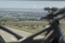
Pulling into Leavenworth we decided to run the section below Tumwater in addition to Tumwater. So we drove to the take-out to scout out if we could hitch or if we should leave a bike. We decided I would likely have to walk out to the main highway but then could get a hitch there. Though the highway is busy so it may have been wishful thinking. As it turns out I got picked up before making it to the highway and got a ride to the car.
After scoping out the take-out, we drove to put in and scouted our way up the river, taking note of the lines and eddies to scout the big ones. We noted that the water seemed high. But we were under the impression that flows were supposed to be low. Something was amiss. As we got to the dam, I noticed a familiar face on the side of the road, Kirk Eddleman who was there with customers about to put on. I run over and ask him if this was the put-in to the Ocoee, we have a laugh, and he we decide to put on with him there rather than heading up further to look at The Wall and to have to paddle the lake. We ended up scouting the Wall a day or two later and it was similar to Chaos in that it went but also was big.
On the water, Kirk's group was just doing the "Three Amigos" set of rapids which are above the big three below. So after working our way down they took off, and Kirk told us that he thoroughly scouted the rapids and didn't want anything to do with them. We already knew the rapids would be bigger in person and at river level, so we were planning on scouting them again so we continued on unphased. Arriving at Chaos, we rescouted and decided to sneak the entrance and that the rest went. We decided to run the rapid together as flush drowning is a real hazard on this river. When we got to POW, Kirk appeared with his van on the highway, still concerned. We scouted and found that the middle features were huge, bigger than anticipated, and both quickly decided to walk. Kirk I think was relieved we made the right decision and drove off. We then headed downstream where we quickly got to the top of Last Exit which we portaged on the left. Our plan was to continue on below... but for that, see the next write-up.
For the record, we had 3,450 cfs which I know is by no means high for this river, but also by no means low. The big rapids were very big. The Three Amigos rapids were rather fun. Later we found out that a lot of people don't run POW until flows drop more. And all the photos in the book of the big rapids being run are at lower flow as well. So, now we know! Also, for those wondering why it is called Tumwater, the mountain on river left is called "Tumwater Mountain."
Previous: Jobless Summer 2019 Roadtrip - Day 12: Ohanapecosh
Next: Jobless Summer 2019 Roadtrip - Day 13b: Wenatchee (House Run)
Mi 0.35:
- The Wall (V). The first big rapid comes directly below the upper put-in. I would for sure scout from the road before putting on. There is a great turn out on the riverside of the road right at the rapid. There is a smaller lead in rapid before it really picks up. There are several tiers to the rapid, with the middle of the rapid having a big hole in the middle. The cleanest line looked to be just right of it, with potentially a plan B line far left. The lead in to that hole was tricky and had multiple tiers to hit in the right spot to not land in the meat of the hole below. The run out continues for about 200 yards below the meat.
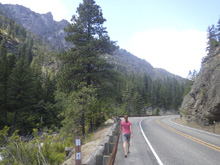
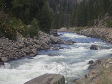
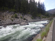
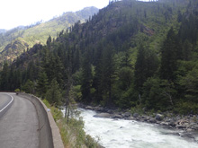
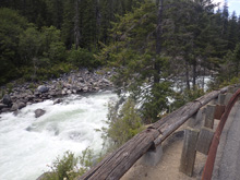
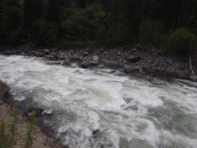
- Lake (N/A). Below, you hit a lake that you have to paddle across. Maybe 10-15 minutes. Or, you can put in at the dam and skip The Wall and the lake paddle.
- Dam (IV to IV+) - Alternate Put-in. The dam can be run far right down the slide. A lot of folks, especially at higher flows, put in just below the dam. This is also the put-in for the "3 Amigos" subsection on this river which starts below the Wall and ends above Chaos, and results in a class IV section at high flows.
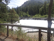
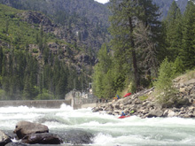
- Amigo #1 (III to IV). The first amigo starts from the second you slide in below the dam. We ran left through the top, and then left of center through the bottom. The rapid was long, maybe 300-400 yards long before it lulled. Luckily there were no big holes to avoid, but certainly some wave holes that could flip you. I bet at some flows, holes do appear.
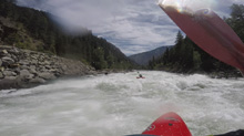
- Amigo #2 (IV). This one was spicy. There were two channels, a smaller left channel around an island and the larger right channel. I think the right channel went, I was planning on going there, but we were with Kirk and his group and he went off to the left so we followed as we were helping with Safety. The line over there threaded between two large holes, one on the right shore and the other just below on the left shore. One in our group got stuck good in the right hole which is depressed and recirculates into the hole. Luckily, she gave a good fight and worked her way out of it!
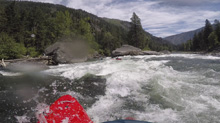
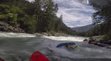
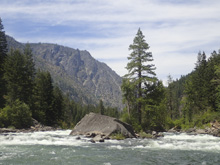
- Amigo #3 (III to IV-). This one was a bit blind from above, but went fine. There was a harder line down the right or an easy line down the left shore. There was also an aggressive boof left of center. Just stay off the right wall when the river bends left at the bottom of the rapid.
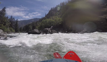
- Alternative Take-out for those who are just running the 3 Amigos subsection.
- Chaos (IV+ to V). Different lines at different flows. At this flow there was a huge hole in the middle at the top. So we snuck down the far right. From there we then ferried back out into the main flow and drive left to right to avoid the next river wide hole, again ending up in a smaller channel on the right. Below this, there was some boogie that we read and run out in the middle. Scout from the road before dropping in or/and from the right shore.
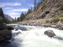
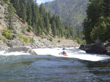
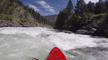
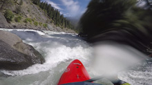
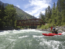
- Perfection of Whitewater (POW) (V to V+). This a big drop. Again, different lines at different flows. We scouted a line sneaking the entrance (was still big) down the far right to line up for the window on the right side of the massive riverwide hole. But chickened out and portaged instead. The window wasn't really a window and looked super trashy against the right wall if you didn't get through. At some flows, people hit some boofs down the middle, but those were underwater and were just macking holes for us. Below this crux, we put back in and again snuck down the right. There was a line out in the middle but we weren't sure we could hit the ferry to the window in the next big river wide hole.
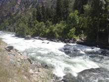
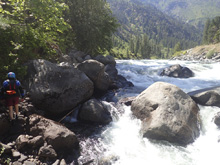
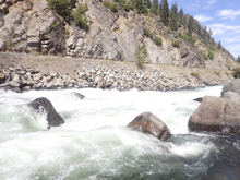
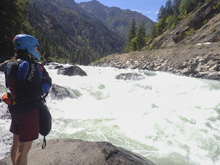
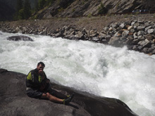
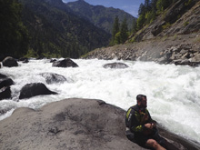
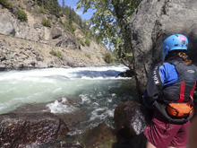
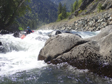
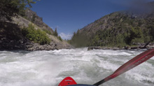
- Last Exit (V+). This rapid is huge. Some smaller (but big) holes lead to a huge ledge hole. Most will take out on the left just above and use the turn out right there as their take-out.
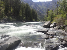
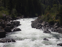
Take-out: From Leavenworth, take US-2, west for 1.4 miles. You will follow the river briefly, and see the massive Last Exit rapid. Just above the rapid is a large turn out on the river side of the highway. That is take-out.
Put-in: Continue up US-2 W for 3.3 miles. You will see the dam, you can park on the river side of the road at the dam or continue up an additional 1.5 miles to a turn out just above The Wall.
HTML Comment Box is loading comments...
