Ohanapecosh
| Stretch: | Secret Camp to La Wis Wis Campground |
| Difficulty: | Class IV to V |
| Distance: | 2.8 miles |
| Flows: | ~500 to 2,000 cfs. Check out American Whitewater's current flow (want 800+ on the gauge) gauge. |
| Gradient: | 112 fpm average |
| Put-in: | Secret Camp |
| Take-out: | La Wis Wis Campground |
| Shuttle: | 4.0 miles, some dirt. 10 minutes one way |
| Season: | Spring and Summer from snowmelt. |
| Written: | © 2018 |
| Featured in A Wet State #140 and in A Wet State's contribution to World Kayak's Video Guide | |
Jobless Summer 2019 Roadtrip - Day 12:
This run is an absolute classic. It has been high on my list for a long time, and just my luck, as this trip came around our SE friends Erin Savage and Toby McDermott were in the area and also had this run high on their list. We had heard that it was low, but low is of course relative and from the SE, and being visitors, we were willing to get it a go regardless. Locals everywhere seem to always forget that when you are visiting an area, you can't be a snob on flows, and getting a run at all is better than not getting a run the one time that you find yourself in the area. Whatever though, in the end, it didn't matter. We showed up and found not ELF flow as the heat wave had bumped the flows up to make it actually a very nice low side of medium flow.
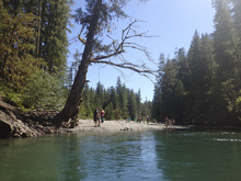
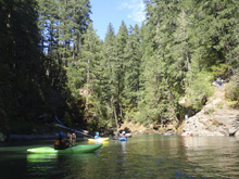
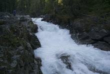
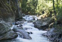
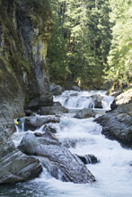
This run is well known for its clear water, canyon walls, and for a few rapids near the end. Also, depending on where you put in, it is known for its epic log jam portages that are a result of a landslide several years back. So, most everyone these days put-in at the Secret Camp maybe a mile or so below the Ohanapecosh Campground which cuts out all of the epic log jams.
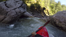
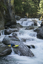
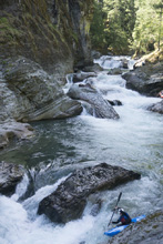
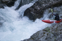
Once on the run, you run a few tight and powerful rapids before the river then opens up a little. The lull is short lived though as you quickly find yourself boofing off a log into another canyon which has several nice rapids and several rapids you need to sneak or run in proper channels to avoid dangerous spots. It was very helpful having locals with us, Nicole and Jordan, who knew the lines as this saved all sorts of scouting time allowing us to run almost everything on beta. A ways down, you get to the one bigger and more dangerous rapid, Elbow Room. Scout and portage on the left or run it down the left of the large midstream rock. A little ways further you get to the falls that this run is best known for. Run the meat on the left or sneak down the center. Below is a powerful rapid that has different lines which are flow dependent and either require punching two big holes or flirting with a big sieve. The run opens up not far below.
The run is classic. Fun moves. Fantastic Scenery. Crystal clear water. It is everything you could want. We had 1,000 to 1,200 cfs diurnal when we ran it, which I felt was a great first-time flow. There were maybe a few spots that were a smidge low, but overall it was nice. For sure, put this on your list if you are in the area.
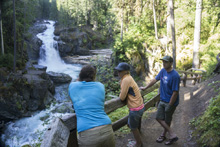
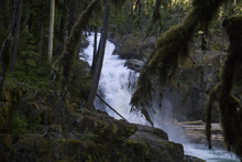
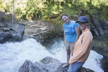
That night, after a quick hike to Silver Falls a few miles upstream of put-in, we ended up camping with a whole bunch of boaters at the Secret Camp. The night was fun, seeing a few friends and meeting a whole bunch of new friends.
Previous: Jobless Summer 2019 Roadtrip - Day 11c: White Salmon River (Lower Lower)
Next: Jobless Summer 2019 Roadtrip - Day 13: Wenatchee River (Tumwater)
Mi 0.0:
- JD's Hole (IV to IV+). Directly below the seal launch you enter a fluffy and sorta tricky rapid. It starts with a small hole on the left and then rounds a blind corner into a double drop with some rocks in poor places. We basically boofed down the center. The holes were both fluffy. A group was in front of us and had a broken helmet in the rapid, ending the persons day after only minutes. Scout before putting on.
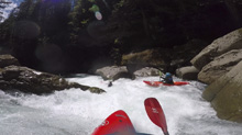
Super Boof (IV-). Immediately downstream is a fun 4-5 foot ledge. We ran right of center with a left boof stroke. It pushes immediately to the wall on the right.
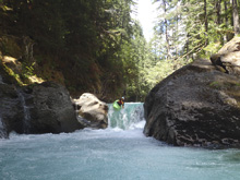
Boogie (III to IV-). Some nice fun boogie rapids are in this section. The river then opens up and mellows out for a brief period before the next set of rapids.
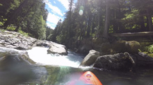
- Rail Slide (IV-). At the exit of the mellow open section, the river leads into another tight gorge. We all caught an eddy on the left at the lip to look over this ledge. In 2018 there was a tree blocking the river, left is very bad. So instead, we went far right and boofed off of the tree. It then mellowed out for a small rapid or two but still had tighter walls.
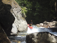
Chunky Monkey (IV to IV+). This rapid was straight forward enough but did pack a good hole in it. We ran down left of center through some lead in read and run to the ledge below. We boofed it left of center too. Below, there was another fun boogie rapid or two.
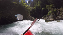
- Upper Butchers Block (V). One of the more dangerous rapids on the run, this one has a sieve part way down on the right. There is a main line that puts the sieve very in play, or a sneak which takes it out. The sneak is to bang down a small right channel. The main line is to catch that channel as an eddy while dropping down the main line. From there, ferry out away from the sieve and drop over the 8 or so foot ledge. Left on the ledge is shallower but friendly of a hole, right can be a sizable hole. The portage is on river left FYI.
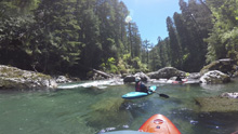
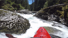
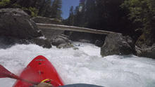
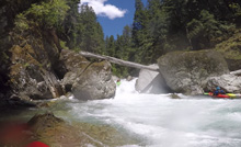
Lower Butchers Block (IV+ to V-). I have also seen the whole rapid just referred to as one drop, Butchers Block, as well as having seen this bottom drop being referred to as Butchers Block or Triple Drop. The latter is generic but fits the rapid well. There are three drops. Boof the first ledge on the left which lands in a clean spot. The second step is generally boofed left and lands in a less clean spot. Keep it upright amongst the rocks. The final part splits a rock (the butchers block), either side is clean. At low flow anyways.
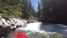
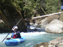
Mank (III). Downstream there was a super manky rapid that we had to sneak far right on. The main channel ends in a bad spot, so just stay far right.
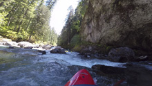
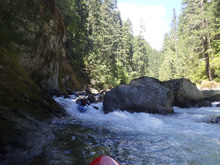
Mank 2 (IV to IV+). This one is harder. We eddy hoped from side to side on the river. The cruz is the bottom where you want to drive far left to get into the left channel. Away from the nasty stuff on the right.
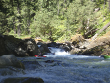
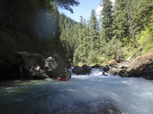
Small Boof (III). A small but blind ledge is boofed right of center.
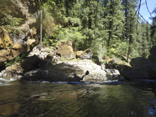
- Bigger Boof (IV). A class III boogie rapid leads to another blind ledge. This one is taller and can pack a punch of mucked up. Boof off the launch curler in the middle but clear out to the right as the left is backed up.
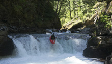
- Elbow Room (V). The biggest rapid on the run, this one commonly is walked. We banged down some entrance stuff on the far left to get to an eddy at the lip. Scout on the left. The entrance is a 5 foot tall ledge, boof it and land coming back to the left. Now, stay off the left wall but punch the two holes to keep driving left into the pinch slot. From there, you are clear. The hazard is that the big rock in the middle of the river is massively undercut on the right side with most of the channel flowing under the rock. So that is why you stay left throughout. The walk is back upstream a small ways on the left to get above the cliff band and then walk back down below the cliff band.
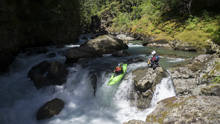
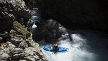
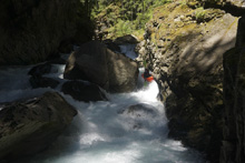
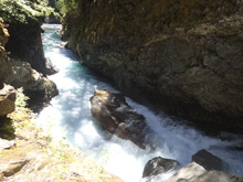
Tea Cups (III to IV). Downstream is a nice multi tiered ledgy slidy thing. An easy line was available far right, or boofing some sticky ledges on the left was also ok at these low flows.
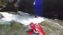
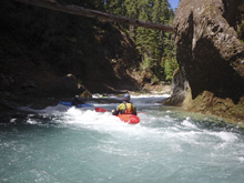
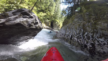
- Final Falls (IV to V). The most famous of the drops on the river, there are various lines depending on flows. The biggest line is to end boofing the 15 foot falls off the left wall. Getting there is the problem as the lead in on the left sports a stout hole. Down the right is shallow. Many people will enter right, and stop half way down in an eddy, and ferry back out to the middle which has either a slide if you run far left of the slide or a 15 foot drop if you are a few feet further right. Scout right. I am honestly included to say portaging isn't possible, but I don't know that for a fact.
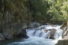
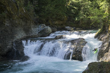
Petrified (IV+ to V). Immediately downstream is another sizable and dangerous rapid. Scout left. Two lines exist. The main line is down the left through two very large holes. The most coming line is far right, staying right and rounding a blinder corner that has a huge sieve on the left side, luckily the sieve is easy to stay away from and allows you to grind the exit slide to finish the rapid. This right line is not doable at very low flows as the river doesn't get onto the exit slide and instead dead ends in a deadly sieve.
Final Boof (IV-). Immediately downstream is one last smaller boof that you can run down the middle.
Take-out: On US-12, go to the town of Packwood, Washington. Then continue north for an additional 6.9 miles on US-12. Turn left at the signs for La Wis Wis Campground. Go down, and just before entering the camping areas go to the right for the day use area. It does cost a few bucks to park here.
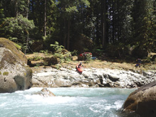
Put-in: Continue up US-12 for 3.7 miles. Look for a dirt road that drops down to the left, it is in pretty good shape (in 2018 at least). Follow this down, and then at the fork stay right. Put-in involves a seal launch into the river. This is the Secret Camp put-in. This is most commonly used since upstream is full of wood. If you get to the park entrance (Mt. Rainier National Park) you went too far on US-12.
HTML Comment Box is loading comments...

