Valin (Canyon)
| Stretch: | Above Riviere Saguenay |
| Difficulty: | Class V |
| Distance: | 7.2 miles |
| Flows: | 10 to 30 cumecs (12 felt great for a first time with no guide). Check out Quebec Whitewater's current gauge |
| Gradient: | 68 fpm average (Final gorge is 225 fpm) |
| Put-in: | Random access below Chute a Francois |
| Take-out: | Confluence with the Saguenay |
| Shuttle: | 12 km (15 minutes one way) |
| Season: | Spring and Summer |
| Written: | © 2016 |
| Featured in A Wet State #119 and in A Wet State's contribution to World Kayak's Video Guide | |
NY and Quebec 2016 2016: Day 6
After a late drive the night before, we found our way to the take-out of the Valin, which also happens to have free camping. Setting up camp around 10 pm, we quickly went to bed with anticipation of a fun day the following morning. For whatever reason we had it in our mind that the run was 5 miles long. The run isn't in either guidebook, so I am sure I mapped it... and just didn't assume the correct put-in spot. The run ended up being longer... and took way longer than we anticipated. Good thing we got an early start.
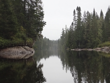
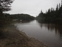
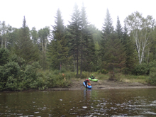
The runs starts with some long sections of flat water interspersed by a few nice bedrock drops. And by flat, I mean flat. We actually started to wonder if somehow we managed to put on on the wrong river! It wasn't until we got to the crack drop that we knew we were in fact at the right spot. That also happens to be about when the river finally brings the heat!
The main reason most do this run is for the perfect 25 foot falls. It doesn't really come much easier or friendlier for a drop of this height. Some choose to take-out nor far downstream, above the triple falls. Others, us included, portage the triple falls and continue into the boulder garden gorge below. The hardest part of this run is the last mile of whitewater for sure. Steep, congested rapids hit you one after the other down to lake level. So plan on taking some time in here for sure.
The first big set in this section is a triple drop... that has four drops. That is how I described it to a friend and he laughed and said they call it the same thing. The rapid has some big holes, and ends in some slides that you want to be upright and in control for. We scouted the set. One in our group scouted the last one and said the left channel was no go, so we looked at the right channel and the thin line and decided it went ok. Well, one week later I still regret that decision. The entrance had an s-turn before it dropped onto a slide and began to fade left to a splitter ridge. The right side dropped cleanly through a large hole, the left side into a rock and pothole. Well, trying hard to stay right I touched the wall which then deflected me to the left where I caught an edge on the ridge rock and ate shit head first into the pile of rocks on the left. I have never heard my neck crunch in the manner that it did. Instant pain. As the impacts cease, I know I am not at the bottom of the rapid. I try to roll but my paddle is prevented from reaching the surface on both sides of my boat. I pull and pop up in the pothole, by boat breached on rocks. I can't stand, I am in the middle of the river, walled out in the small space between my boat the pothole wall. I eventually manage to climb out of the pothole and get my boat dislodged and onto the small island that split the river where I empty my boat and slide back into the river. That was the biggest impact wipe out I have ever had. Seemed like an easy enough move... just poor execution.
We left take-out at about 9 to start our day. We got back to takeout around 4 pm. By the time Chad biked the steep and longer than anticipated shuttle, it was 5 pm. Around that time the rain also started. The friend that I had in the area sent me a note inviting us over to his place for the night, so we could escape the rain. I had no idea that Evans actually lived just a few miles from take-out. So that evening we went over to his house, and caught up on life events as I haven't seen him since our Switzerland trip a few years back.
That night the rain came and the rivers in Quebec began to rise. The question we went to bed with was how would my neck feel in the morning... good enough for another class V creek? Or would we need to take it easy and play it safe? We would see in the morning. For now... pain killers, muscle relaxants, and some of Evan's homemade liquor would do!
Next: NY and Quebec 2016: Day 7 - Mistassibi (Dolbeau)
Last: NY and Quebec 2016: Day 5 - Rouge (Seven Sisters)
Thanks to Chad Christopher for sharing some pictures from the trip!
Mi 0.0: Mi 0.35:
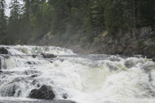
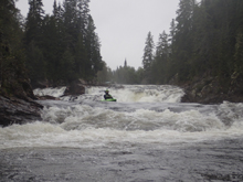
- Double Slide (IV-). An obvious horizon line indicates it is time to scout on the right. It was a pretty mellow slide down the far left on both tiers.
Then you have a long section of flat water... very flat water.
- Island (IV). Another obvious horizon, we scouted from the middle island. The far right looked like a viable high water line. We boofed the left channel over a six foot ledge into a caldron. Not the place to get beat down. Boof through with some right angle.
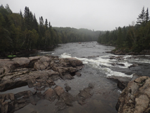
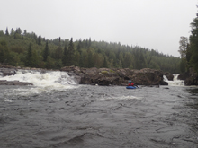
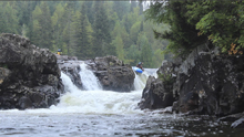
- Right Slide (IV-). We opted to go down the right which had a nice channel and required punching a small pothole hole. But it wasn't bad. There also looked to be a mellow slide on the far left that would open up at higher flow.
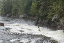
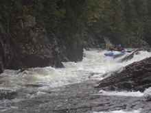
- Boogie Rapid (IV-). Just around the corner was another fun little rapid. We ran left to right across the lip. There were other options too. At higher flow holes may appear.
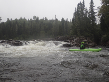
You then have another really long flat water section.
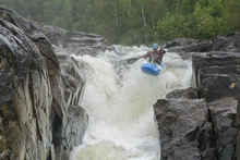
- Crack Drop (IV+). At the next bedrock, get out on the right to scout. The water funnels down between bedrock walls and then drops 6 feet over a ledge into a hole. There is a nice boof on the left, which you really want to hit as plugging would result in a back ender and an epic beat down as the tow back is not friendly. Fine if you boof though!
- Honeypot (IV+ to V-). Honestly about as easy as a 25 footer can be. The lead in was mellow and consisted of a small slide right off of the lip. We entered far left of the right channel and used the small curler on the slide to load up our boofs. The landing was super soft. Just downstream was a small non vertical drop. Below however it pulls directly into the next set of drops. So get someone to shore quick if they run into issues. Apparently you can run laps using a trail on the right shore though a rope may be needed for part of it. Scout right.
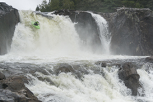
S-turn Slide (IV+ to V-). Just below the exit drop below Honeypot the river enters a slide that s-turns into a large cushion as it hits the right shore. We ran down the middle and caught an eddy just below the cushion. The exit was a straightforward slide. At our low flow we stayed far right as the middle was a very large hole. I think at higher flows you may go far left. Scout before dropping in below Honeypot. We scouted right. May also want to scout left at higher flow. Below the slide we ferried along the wall from the side we were on. Below, we entered another runout rapid that ended in a good size hole on the right. We went far left throughout.
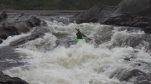
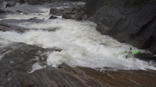
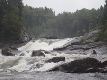
- Portage (V+). Not far below those rapids, at the end of a brief section of flat water you will notice the river tightening back up. You will also notice a metal structure on the left. Get out here. There is a trail up and around a triple drop of falls. Stay on the main trail, don't get tricked into following tagging. If you do it will be bushwacking. If you miss the portage location. Falls 0 is runnable and is a slide that you want to be far left on if you bumble into it. You want to be left as there is an eddy at the lip of the first falls on the left. Get out and bushwack your portage on the left. The first falls looks ok but goes directly into the second falls and then that into the third. The third has a huge reconnect near the bottom. In total they drop around 90 feet. Two descents that I know of have been made. The first ended in a concussion and the second moments later by his friend resulted in broken ribs. If you ask me... they got a little lucky! Put back in 200 yards downstream of the falls. Also, apparently some people take-out here to avoid the gorge downstream.
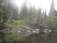
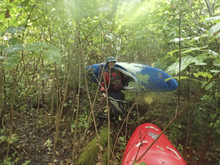
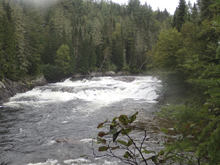
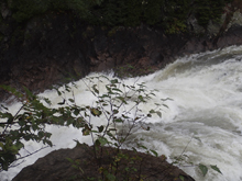
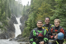
- Double Drop (V- to V). After a few nice mellow rapids you get to another horizon line, scout right. The normal line is to boof the far right and then slide down the far right. Our flow was a little low for that, doable but low. I ran right of center and got close to the large boiling hole in the middle that extended to the left. At lower flow apparently far left against the shore is also an option.
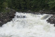
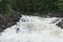
- Entrance (IV+). The river splits around an island. We went down the left and stayed left. You can tell the river was about to start losing some gradient!
Slot (IV+ to V-). At our flow it was straight forward to delay boof down the far left of the tight slot that comprised the left channel. At higher flows I am told you have to ride the cushion coming off of the island to get left and that the hole becomes worse. Sounds harder higher!
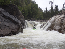
- Triple Drop with Four Drops (V). Downstream is the largest rapid of the run. There are three portions to it. The first was the mellowest and went down the left. The second had a good size hole and went well boofing far left off of the shoulder. The third tier had a row of rowdy holes across the top and then dropped onto a slide with a hump at the end that looked like being upside down was a no go. Stay far left. This then dropped into an eddy. The exit only Chad looked at from below and waved us off of the left side of the island. So looking at the right, we gave it a go. Chad and I got rejected to the left of a midstream ridge and ate shit. Me landing on my head going very fast and landing in a pothole upside down. Broached, I swam and self-rescued onto the island. The correct line was in fact the far left. Oh well. You can scout the whole thing (or portage) using a trail on the river right.
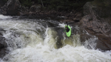
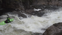
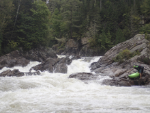
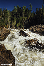
- Boogie (IV). Downstream to enter a stretch of boogie. Before it gets steep though, get out on the left and scout the final bit of gradient down to the ocean level.
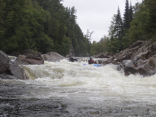
- Exit (V). At most flows you boof and stay left through the top part of the rapid. At low flow the center line opened up as long as you were far left in the center channel. Below, make sure to head far right. Do not go far left. The exit part of the rapid, most of the flow goes down the left which splits on a rock and has a bad looking undercut on the left shore. To avoid all of that, you run down a narrow slot on the right boofing the gradient in one go and rejoin the current below the undercut.
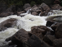
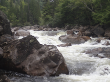
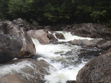
Boogie (IV-). Downstream some mellow boogie gets mellower in a hurry and then you hit the ocean level for your paddle out.
Take-out: Get yourself to Saguenay, Quebec. Then cross the river on QC-175 and immediately exit and take QC-172E to Saint-Honore. Follow this for 8.4 km to the park on the right, just before you cross the bridge over the Valin at the confluence. You can camp here.
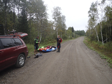
Put-in: Go back out to QC-172, turn right and cross the Valin. After just 1.3 km turn left onto Rang Saint Joseph. Follow this for 6.8 km, gaining basically ALL of the elevation in the first 1.5 km. At the T, turn left onto Rang Sainte Anne and follow for 3.4 km. If you get to the nice turn out you went a little too far. We went down an area that looked like it had once been a road, but was now waste high grass. There are houses going up all over here, so the access may be a bigger issue in the future.
HTML Comment Box is loading comments...

