Tarn (Upper)
| Stretch: | Le Pont-de-Motvert to Dam |
| Difficulty: | Class IV to V |
| Distance: | 7.9 km |
| Flows: | 02 to 2.8 on the gauge (see "riverapp" application) |
| Gradient: | 145 fpm average |
| Put-in: | Access in Le Pont-de-Motvert |
| Take-out: | Access at dam site |
| Shuttle: | 9 km, 15 minutes one-way |
| Season: | Winter/Spring from rain |
| Written: | © 2018 |
| Featured in A Wet State #137 | |
Pyrenees 2018 - Day 2:
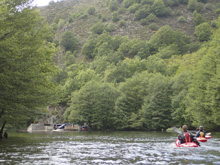
The next morning we woke up ready for a classic run. The Tarn was one of the first rivers I found in France that I really wanted to boat. In many French videos you see a few of the classic bedrock rapids. What I didn't expect was all the extra and super fun boulder gardens. Some of which, packed a good punch. I could see that at high water this run gets super legit. As it was, we had a solidly medium flow which I felt was great. Unlike in the Pyrenees, this run was pool and drop, very similar to California and the rivers I feel most comfortable on.
The run starts off with one or two boulder garden rapids before you quickly find yourself at the top of a very large rapid. I scouted on the right to quickly see it was way bigger than just a normal rapid and that we wanted to scout on the left for the first of the classic drops. This rapid can be run top to bottom, though some (us included) also put in at the eddy before the must run exit. I really am not sure how you would portage it. Maybe you could go higher up and around. I am not sure. Downstream you quickly get to the second big bedrock rapid. And then you get some nice rapids before the third but much smaller bedrock rapid before one more last bedrock slide. Then, the river turns into boulder gardens, several of which you will need to scout if you don't have someone who knows the lines with you. After a while, bedrock re appears for a few small slides though they can pack a punch if you drop into the wrong side of the holes at the base. Some choose to put in below the biggest drops for the paddle out. I am not certain where on the river the trail pops out, but we saw people setting shuttle for that while setting our own shuttle.
So, in the end... we had an amazing day. This run lived up to the hype. Great whitewater, great scenery, cool little towns around at the top, just all around a classic European river. For reference, we had 2.26 m on the gauge which can be access online.
That evening, with the Luech too low to boat as well as the sources of the Tarn, we decided to begin our drive to the Pyrenees. We decided to do some sightseeing along the way and drive to Carcassonne where we would sleep for the night for sightseeing the next morning.
For reference we had 2.26m on the gauge which was a nice medium flow.
Pyrenees 2018 - Day 3:
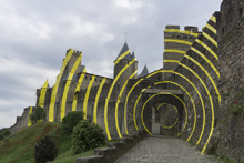
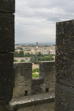
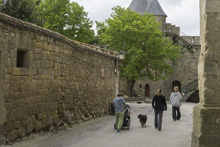
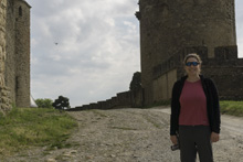
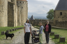
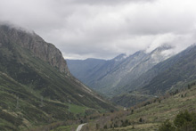
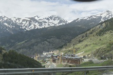
That morning we woke up just outside of Carcasonne, a fortified town that had turns surprisingly touristy and shop centered. We woke up and walked around town before getting breakfast. The plan was to then drive to Andorra to meet up with Harry who had driven that way the night prior after the Tarn. Our hope was to do the Val d'Orien which runs through the middle of the main town in Andorra. But arriving, Harry notified us that the flow was high, and with the concrete lined walls to the urban river, we decided better upon it. Reiner and his wife Arty had hoped to bike ride, but they arrived to find the bike parks still closed. Total bummer. There was one other option in the small country that was IV to V, but it too looked high so we barely considered it and instead got some food and headed the rest of the way to Sort. No boating... on day 3. I would be lying if I said this didn't make me nervous.
Previous: Pyrenees 2018 - Day 1: Dourbie (Valgarnide Gorge)
Next: Pyrenees 2018 - Day 4: Noguera Pallaresa (Upper)
Km 0.3:
- Small Slide (III+). A small slide on the first left bank is best run down the right. Boogie (III). Downstream is some nice boulder garden boogie.
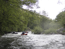
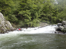
- Tendrils (IV to IV+). At the end of the boulder gardens is one that is obviously bigger. The rapid starts like the above boogie but the exit is a pinch on the right in a pocket or a pinch in the middle that is hard to boof and lands in cross current. We eddied out at the lip on the left and Harry hoped out to scout sending us down the middle. I think we all melted and flipped through the middle. I think at high flows this rapid might get mean.
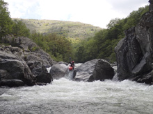
- Chasm of Wheels (V to V+). This is the biggest rapid on the run, and also the classic drop for the section. Scout on the left to see the bottom, on the right to see the lead in best if you plan to run it. Scouting the lead in left sorta makes running it harder I think, though probably still possible. We had medium flow on this run, so the lead in was juicy. It consists of sliding back and forth with several strong holes to boof. The key is to run them so at the bottom you can have right to left before the final ledge which lands in a 90 degree turn with a big pillow coming off the right wall. At our flow, going right to left at the bottom looked impossible. All the video I have seen of folks running it was at lower flow. Once you land the 90 degree turn, there is a small eddy that you can seal launch into if you aren't running the entrance, access that on river left. Then, the river goes down a 30 foot tall slide that is steep but easy enough if you are straight. Downstream a group of young local boaters came by and apparently they all ran the lead in, though with mix results.
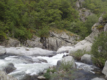
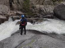
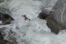
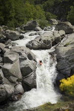
- Ragoule (IV- to IV). Just a ledge that we ran down the middle. I bet at higher flows it gets meaner.
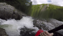
- Trumpet (V). Scout this one either from the left or right, but do it from the pool above the lead in. The lead in can be run on either side of the island, right is mellower though left sets you up better for the main rapid. The main rapid has a sliding hole at the top that is well known for stopping people. We took a far right driving left line to clear the hole. The French kids that came through as we were leaving ran a center riding the curler and ending right. It went great but also resulted in one or two surfs. Below the entrance it quickly narrows and steepens as you slide down into a melting seam that deposits you in the green water pool at the bottom. Most flipped, some got a little stuck, I had my paddle ripped from my hand when I hit the green water.
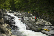
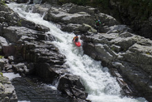
Corridor of Bressous (IV to IV+). Downstream of Trumpet you quickly enter some nice rapids. One was a sort of blind s-turn we took down the right that also has a boof on the left. Another was a rapid that we ran down the left that ended in a small ledge. Finally on a right turn we took a small slot far left. This then put us directly above Syringe.
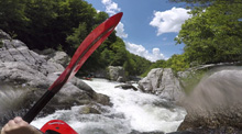
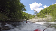
- Syringe (IV+). Sort of like a mellower version of Trumpet. This rapid starts with two small ledges before pinching. It then ramps down into a low angle slide hole that you want to clear. It then deposits you on a taller slide that drops maybe 8 feet into a pool below. You can scout easily on the right.
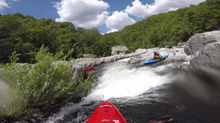
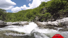
Boogie. A few boogie rapids.
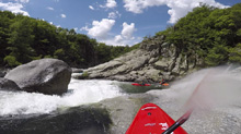
- Washing Board (IV to IV+). Super straight forward, but don't flip. Scout easily on the left. The rapid is a slide that you run on the left most slot that starts just a boat width wide. It then ramps down and you want to try to drive a little right so that you clear the wall that extends on the left.
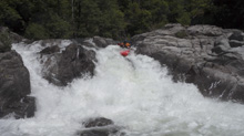
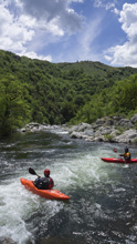
- Staircase of Racoule (IV to IV+). Scout this rapid on the right. The line is to enter down the left and go along the wall before driving quickly out to the middle to go over a 6 foot ledge that has a rocky landing.
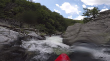
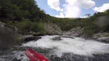
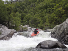
- Chasm of the Hermet (IV+ to V-). This rapid might be the technically most challenging out of the non-classic drops. We boofed in a pinch on the left of center. This then fed into a boulder field below, we ran left of center through a good size hole which then exits you at a rock fence. I ran left of center and it was clear, others had other lines as the water just kinda did what it wanted. The key is, don't be upside down as it is rocky but the exit went everywhere.
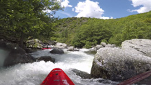
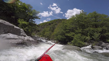
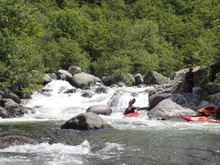
- Threshold of Perigouse (IV). This rapid was fine. We ran down the center channel staying right of the main hole. It is just a 10 foot tall ledge with several entrance points. We scouted right.
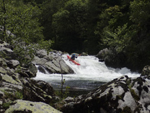
The Elephant (IV+ to V-). Immediately below is this rapid. We entered center through a narrow slot and boof a small hole which ledge to a bigger ledge in a pocket. Come through that clear and straighten up for the exit ledge which is boxed in. Super pretty rapid and more fun than I anticipated.
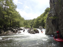
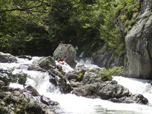
- Pinch Slide (IV). I am sure this rapid has a name... I just couldn't find it. A small slide leads to this pinch. We ran left of the island rib and punched through the hole at the bottom much easier than we anticipated. We scouted it left with ease.
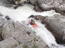
Boogie (III to IV-). Things get a lot easier downstream. Though there are still a few standout rapids. Things by no means become mellow. Just no more of the real busy stuff. But you will stay busy all the way to take out.
- Get Right Slide (IV to IV+). A double drop, we ran the lead in center and then eddied out. Reiner hoped out to scout and told us to run far right. As long as you are far right and bust through the curler, you are home free. The middle is a very large hole.
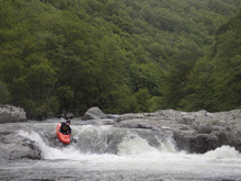
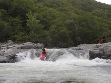
- Junk (IV). The river seems to have carved a new channel at some point, the satellite view looks like there is no reason for the river to take this bend around the rock outcrop. The right and middle of the rapid are steep and very very pin-y. So instead we stayed far left and boof over a shallow ledge and took the hit to our asses.
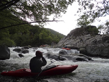
- S-turn (IV). This is in a wide open area, a nice bed rock s-turn that Reiner hoped out to look at. Start right and move back left down the ramp. Immediately below is a small ledge that has a good size hole, just line it up straight.
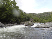
Boogie (III to III+). Downstream the boogie continues, in the middle of it is one more bedrock rapid that we ran down the right down a mellow slide. One or two more mellow boogie rapids and it is over.
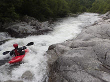
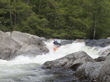
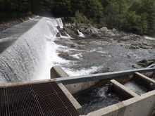
Take-out: From the town of Le Pont Du Tarn along N106, turn upriver on D998 to go up the tarn. Go 9.5 km. There is a wide spot in the road, just before a dirt road drops down to the river at the dam. Park here. The walk down to the river is only a few hundred yards but parking is limited down there so it is encouraged to park along the road.
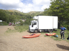
Put-in: Continue up D998 for another 8.4 km to the town of Le Pond de-Montvert. Just after crossing a creek in town, turn right and cross the Tarn. Take an immediate right again and follow this for 200 yards to a parking area. We parked here, walked down the trail, and crossed a field to access the river.
HTML Comment Box is loading comments...

