Dourbie (Valgarnide Gorge)
| Stretch: | La Mazet to Dourbies |
| Difficulty: | Class IV to V |
| Distance: | 3.05 km |
| Flows: | 0.55 to 1.0m on the online gauge (see "riverapp" app). 0.67m was maybe 250 cfs |
| Gradient: | 196 fpm average |
| Put-in: | Bridge on La Mazet Rd just outside of La Mazet |
| Take-out: | Bridge on D151A just outside of Dourbies |
| Shuttle: | 3.9 km, <10 minutes one-way |
| Season: | Winter/Spring from rain |
| Written: | © 2018 |
| Featured in A Wet State #137 | |
Pyrenees 2018 - Day 1:
I don't actually remember why I originally wanted to go to the Pyrenees. I think just always hearing about them during the tour de France, I always thought... hey, there are big mountains and they seem like they should be awesome. When we were in Italy several years back, I remember trying to convince the Glanz brothers to go with me the following year. Instead they talked me into Norway. Then the next year they talked me into a tour of their home region in Austria. It wasn't until last year that I came back to the idea. I found a guidebook online, sent one to Harry Glanz to get his interest peaked, and began to plan out some ideas and research the rivers in earnest.
So that brings us to this year... when the trip happened. The original plan was a bit hopefully. Fly into Montpellier so that we could make a big loop with the Verdon gorge and the Massif Central included with the Pyrenees. But, after looking into flights this winter, I couldn't find routes to Montpellier on airlines that would take kayaks and have big enough plans to actually be able to take the kayaks. So we ended up planning to fly into Toulouse and resigned to just the Pyrenees... keeping the Verdon and Massif Central for another trip. But... as the trip approached, the flows in the Massif Central were perfect for the Tarn river, a classic river, so we decided that it would still be worth it to drive the wrong way for a few hours and start the trip in that area.
We drove to Atlanta to start the trip, flying to Munich for a 9 hour layover before continuing to Toulouse. We landed at 6:30 pm and had hoped to quickly get our boats and our car and hit the road for the 3.5 hr drive to the Dourbie where Reiner would meet us for the first day. But, after an hour at baggage, our kayaks still hadn't come out. So I spoke to the baggage folks and it turns out that big oversized items come up a escalator around a corner and not the oversized area. Phew... but bummer we wasted an hour. So now we headed out to get our car and sim card. But, we quickly found out that the sim card place in the airport closed at 7 and it is now 7:30. So, no sim card for the trip. Bummer. OK... on to the rental car. Which though we had prepaid for a roof rack... turns out they don't even carry roof racks. After running out to their garage I found that our car had a factory rack on it that would work well enough and still took the car. Now though, another hour had passed. 8:30 pm. 3.5 hrs of driving ahead after 24 hrs of travel. This was going to be a painful start to the trip.
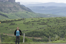
I drove, Diane slept, and I wondered allowed about just how pretty the area must be during daylight hours. Arriving at a random pull out where Reiner was sleeping at 12:30 in the morning, we quickly made our bed within the car and went to sleep. We awoke in the morning to what ended up being fantastic scenery and a clear day. A great way to start the trip. Though Reiner quickly warned us that every day on their trip thus far had started with clear weather and turned to rain. I doubted him, but by the time we were putting on 2 hrs later, it indeed was dumping rain on us. A theme for the trip... sun in the morning followed by rain all afternoon and evening.
Anyways, my original plan for the day was to do two sections of the Dourbie. The first gorge is class V but we would have low water, and the second gorge is similar with a must run or two on it. Reiner had heard some sketchy things about the second gorge and lobbied for just doing the first. I honestly hadn't studied it that hard and doubted my memory so we ended up just doing the upper section. We found out later while talking to some folks that the lower is totally fine and matched my memory's description. Oh well.
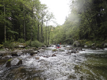
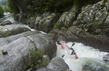
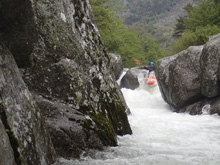
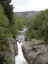
The run was low for sure, the scenery was ok... but nothing special. There were a few nice bedrock rapids in the river, a few nice mini-gorges, and a few nice boofs. We did portage a few that needed more water to clean up and allow better lines through pinches or around sieves. Quickly we found our way out of the canyon and at the bridge which marked our take-out. The run was fairly short. I think that by doing both gorges it would make a fun full day of kayaking and make it more worth while. As it was, that afternoon we had a 1.5 hr drive or so to the Tarn, which made the run feel short of the extra driving. Especially since Diane slept the whole drive leaving me to my tiredness. But that afternoon when we arrived at the map point which Harry had sent us, we found a wonderful spot on top of a ridge overlooking the Tarn river and a wonderful French town below. This is the type of place you dream of staying. So we made food, hung out, and hit the hay excited for getting the classic Tarn river the next day.
For reference, we had 67 cm on the online gauge. This was low flow for sure. Probably around the minimum for a good time, though I am sure it can be boated lower.
Next: Pyrenees 2018 - Day 2: Tarn (Haut)
Km 0.0:
- Boogie (II to III-). A smidge of boogie to warm up on, it is ok if this feels really low, it channelizes downstream.
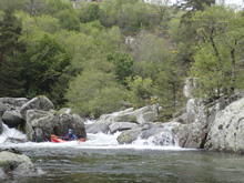
- First Slide (III+). The first slide is mellow but fun enough down the far right. It is blind from above so it did force us to quickly scout on the left.
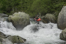
- Second Slide (IV-). The second slide is very similar to the first but a little less clean. Run down the far left again. We scouted this one on the right.
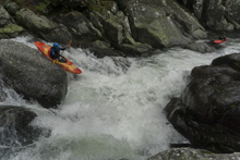
- Big Slide (IV+). This is the highlight of the run in my mind. This slide is best scouted on the right. It is a long low angle slide that then tilts and drops over a nice 10 foot steeper part with a sorta tricky lip to get your noise up for the hydraulic below. We all popped straight out. At high flow I bet this one gets mean.
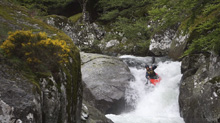
- Gorge (IV to V). At low flow I would say the gorge was IV to IV+, but I can imagine everything changes at higher flow. It has three rapids and lasts about a quarter of a km. The first drop should be scouted on the left. We ran far right around a blind corner and over a boof that was a little tricky and had a rock sorta in the landing.
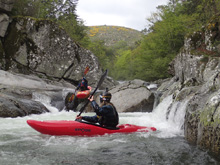
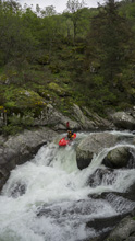
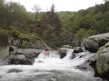
Middle (IV to IV+). The middle rapid of the gorge was the most fun. It starts with a double drop whose entrance should be run down the middle, with care as to not get pushed left into what looked like a sieve, and then boof the exit left. Just below is one more small ledge before you get to the exit.
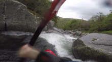
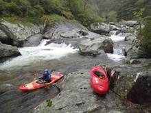
Exit (V). This rapid might go better at high water. We tried to boat scout, luckily we didn't commit and I climbed out to scout on the left over super slick rock. The left was closed out by a midstream rock. Bad pin potential there. The right looked marginal with what would be a melt into a rock pinch that could result in a bow down pin. We just didn't like it. So we ferried to the right to portage. With more water maybe something fills in better. Or maybe the pinch exit is good to go. We just didn't know.
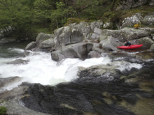
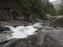
- Boof (IV+). Just below the gorge is this nice rapid. A pool to pool super nice boof maybe 8-10 feet tall. The trick was that it was hard to get enough right to avoid contact with the rock on the left halfway down. I bet with more water a few different lines open up as there were other boofs to hit that needed just a little more water.
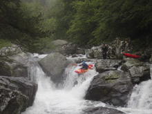
- Pinch (V). This rapid was probably the biggest that our group ran. The lead in was a bit spread-out. We scouted on the right. The water then all converges and funnels down into a pinch and subsequent ledge that wants to push you left into the wall. You have to drive harder than you expect to stay right.
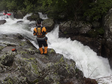
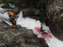
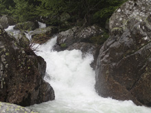
- Small Slides (IV). You enter a section that has some small slides. They are clean. One in the middle ends in a bit of a junky exit, low volume and no where to go.
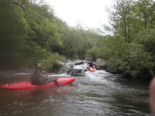
- Cauclan (V). This is the only rapid I could find a name for. I am sure all the rapids have names though. This one looked bad at this flow. From below, it looked even worst. It is a narrow crack that melts you left into the midstream ridge of rock before making a 90 degree turn right and drops over another rocky exit. We instead did a big seal launch on the right to portage.
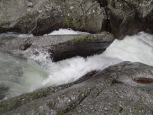
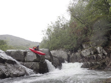
- The Maze (IV). One last slide should be taken with care as there is a large sieve below on the right where the water goes. It would only be a problem if you for some reason found yourself out of your boat. Below, the river enters a bit of a maze of rocks, lots of boofs and blind corners. You then get to one that we portaged due to a very large undercut in play. I bet with more water it gets cleaner.
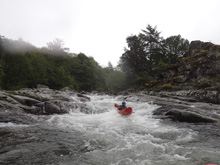
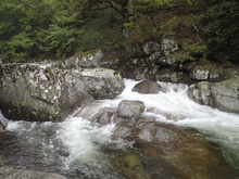
- Bridge Rapid (IV+). The final rapid is immediately upsteeam of the take-out bridge. Enter left and drive center over the entrance ledge to exit the pinch middle. It goes fine. The hazard would be somehow being far left at the top as that would drop you into a bit of a pocket. Then take-out immediately below on the left
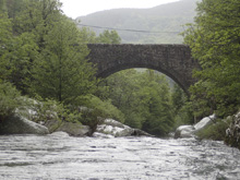
Take-out: Find your way to the town of Dourbie, there is bridge in town on D151A, just upstream of the Campground La Pensiere.
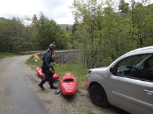
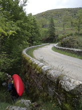
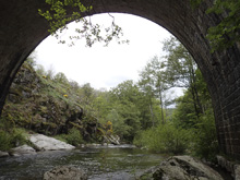
Put-in: Go towards Dourbie and turn right to stay on D151A, follow this upstream for 2.6 km before turning right to drop down to the river. In less than a km there is a bridge over the river, this is put-in. There was a path on the upstream, river right side.
HTML Comment Box is loading comments...
