Rettenbach (Upper)
| Stretch: | Above Hinterstein |
| Difficulty: | Class IV |
| Distance: | 3.2 miles (2.3 miles if the water is high) |
| Flows: | 165 cm was medium (150 min / 160-185 medium / 190-220 high). The gauge is near the beginning on the right, near the bridge if I recall |
| Gradient: | 138 fpm average |
| Put-in: | Beach 5 km above town |
| Take-out: | In the town of Hinterstein |
| Shuttle: | 3.2 miles, dirt road |
| Season: | Spring (snowmelt / rain) and othertimes from rain |
| Written: | © 2016 |
| Featured in A Wet State #113 | |
Austria & More 2016: Day 1 Afternoon
The second run of the trip was just a quick drive from the Gimbach. We scouted the final gorge to see how the flow looked. The top rapid wants to shove you into a rock overhang while traveling at fast speeds, the bottom rapid was pushy, flooded between canyon walls, and dropped into a hole that was pocketed in the wall. With minimal safety possibilities we decided the high flow made it too marginal and opted to take-out just upstream.
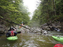
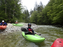
Putting on the water we found the river to be a continuous class IV boulder garden with ebbs and flows in difficulty. The canyon itself was quite pretty. It was just a small creek, and the road a few hundred feet above, but on the river that all felt like details as the canyon was pristine, no road blast, no sign of people, just fun rapids, all boat scoutable from put in to take-out. This run is definitely worth it if you find yourself in the area. Of note though, if the lower gorge was totally good to go, I have a feeling the upper stuff would probably be a little bit on the boney side. And the upper could have taken more water too so it isn't like it was flooded.
For reference, we had 165 cms on the gauge and I was told this is a medium flow.
Thanks to Harald and Reiner Glanz for sharing photos and for making the trip possible!
Last: Austria & More 2016: Day 1 Morning - Gimbach (Cascades)
Next: Austria & More 2016: Day 1 Evening - Koppentraun
There really is no way for me to do a rapid by rapid on this one as we just bombed down it all. But there are a few highlights
Mi 0.0:
- Put-in (III to IV). Just below put in the action starts. We went down the left channel. Careful for wood.
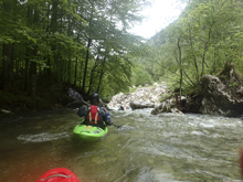
- Bridge drops down, gauge was near that if I recall correctly.
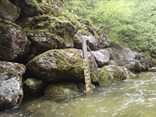
Cannonmuzzle (III to IV). The boulder gardens change to bedrock and several nice sections of rapid greet you. These can be blind from above. In general the river was clear of wood, but it wouldn't hurt to scout before dropping in if you can't see.
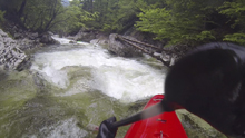
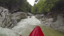
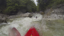
Canyon Change (III). You drop around a corner and the geology changes into a more sandstone nature. It is super pretty and lends to some fun slides and drops. In general it gets easy at that point.
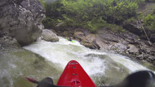
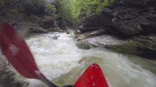
- Lower Gorge (IV to IV+). I only know what the bottom two drops look like, but I think those are the crux of it. Scout these from the road/trail beforehand as once you drop in you are in it. The entrance was straight forward enough, a cascading ramp into a pinch. The hazard on this one is the head height rock jut coming off the left wall at the pinch. There is then a small recovery pool before the exit drop which is a s-turning drop into a pocket hole that has large recirculation caused by the pothole on the left. It all looked very doable but also a bit hazardous if you were to get stuck. So we opted to take out above.
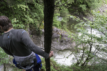
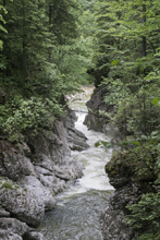
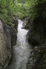
Take-out: On the eastern side of Salzkammergut Straße (Rd 145) the river climbs its valley. We took out at the bridge over the water 1.3 km east of Rd145. The optional take-out is up the river another 1.4 km and is just a slightly wider spot on the road where a trail leads down to the water.
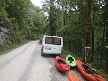
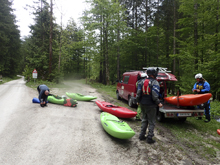
Put-in: Continue up the creek for 5.0 km from the lower of the take-outs. There is an obvious spot to put in where a gravel bar provides easy access to the creek.
HTML Comment Box is loading comments...

