Rangitata River (Gorge)
| Stretch: | Standard Gorge |
| Difficulty: | Class IV to IV+ |
| Distance: | 5.9 miles |
| Flows: | ~30 cumecs to ?00 cumecs |
| Gradient: | 44 fpm average from mile 3.25 to 4.75 |
| Put-in: | Rangitata Gorge Rd access near the bottom of the valley |
| Take-out: | Access near powerhouse |
| Shuttle: | 12.6 km, 30 minutes one way, good dirt road |
| Season: | Year round |
| Written: | © 2017 |
New Zealand 2016/2017 Day 20:
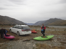
Waking up for the final run of our trip, we drove to take-out to meet up with Alan, who we met on the University of Canterbury Canoe Club's facebook group. He wanted to meet early which worked well for us as well, as after the run we needed to meet up with both of our kayak buyers, get to Christchurch, and dry gear. So we met at 8 am.
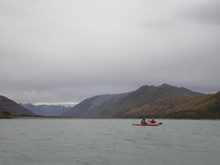
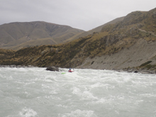
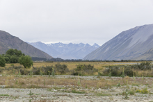
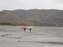
The run starts off with some flat water in a wide valley that is quite scenic before the river is constricted between walls and the rapids start. The rapids are brief, contained in the straight away as the river bends southerly from its eastern track. This river is runnable all a wide range of flows, ranging from 40 to ~300 cumecs. The holes are apparently stickier lower, but the river would likely be a roller coaster of action at the higher flows. As it was, we had 93 cumecs (3,284 cfs) which felt like plenty. We were able to catch eddies to scout, and the eddies weren't too surgy, and the holes were flushing well enough. I can only imagine at double the flow it is a different beast!
For those wanting laps, you can take out on the right directly below the exit pinch of the gorge, and hike back up to the top, saving considerable time as the shuttle takes about a half hour each way, and the paddle in takes another half mile. Hiking is certainly shorter than that!
After getting off of the river, we ran into our friends Mikel, Michael, Terral, and Adam. It was nice to see them all one last time, and after catching up in the middle of the road for a few minutes, we said our goodbyes and Diane and I headed off. We met up with boat of our kayak buyers and the ending of our trip set it. That night, we headed to a new friend, Matt Bennet's house in Christchurch. He offered us his place to crash the night before our flight, so that we could shower and dry gear. It was mighty nice of him as we only met him a week prior! Thanks Matt!
The next morning I dropped Diane off at the airport for her flight at 4 am. I had another 6 hours before I flight, so I went to a McDonalds to use their wifi and sleep in the parking lot, while simultaneously trying to dry the back of our car, which after 3 weeks of camping and 2 weeks of non-stop rain, was soaked through and through!
The trip in the end was quite fun. Thanks to everyone who helped, from Morgan and Micah letting us crash at their house in Atlanta, to Daan/Jess for helping lay out a rough plan, Matt for the place to crash in Christchurch, Jo and the Aussies for the great week spent on the river together, Phil for hooking me up on the Kaituna, and everyone else who we shared time with. It was fantastic! Thanks!
Just as a side knowledge point, this section of river was used as the basis for the Endoras (Capital of Rohan) in The Lord of the Rings.
Previous: New Zealand 2016/2017 Day 19 Afternoon - Kawarau (Citreon)
Next: The End
Mi 0.15: Mi 2.4: Mi 3.8:
- Class 3s (III). The river then steps up to be class III. The first rapid was long and had bent to the left as I recall. We just stayed with the water. These actually have names of Glacier, Pencil Sharpener, and Tsunami but I have no idea which is which. It was all read and run.
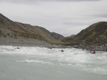
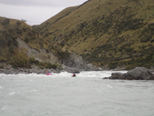
- Rooster Tail (IV to IV+). At our flow there was a nice tongue right of center that let you miss the bulk of the first hole. You then were deposited in a boiley ramp that led to a small wave hole that flipped half of us. Scout left.
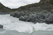
The Pinch (IV- to IV). The next section was a long busy read and run section that could spell disaster if you were to flip and not hit your roll. OK, maybe not disaster, but at our flow there was no recovery time in here before Hell's Gate. In fact it took some control just to catch an eddy. And then an aggressive ferry to a small eddy to scout the bottom rapid below from the right. The rapid itself was ok, just follow the water to the right and back left.
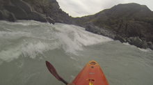
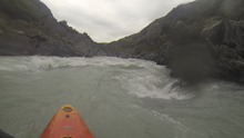
- Hell's Gate (IV to IV+). The final rapid was another horizon line. There was a meaty hole on the left that looked like you could go left to right across the right edge of it. The right channel (split by a midstream boulder) had a curling wave that formed a tongue of sort that you could ride back to the left. Others may choose to eddy out to the right of the tongue and then ferry behind it to have more control. Be aware of the large hole on the right just below that you want to avoid to the left.
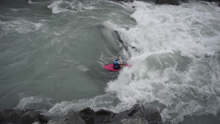
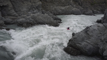
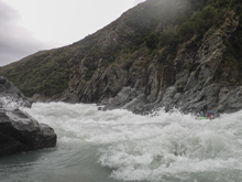
The Slot (III-). Downstream one more small rapid leads to a slot which then marks the end of the rapids.
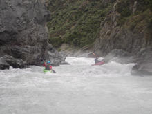
- If you want to hike some laps, just after the slot exit on the right and climb briefly up to the trail to walk back to the top of the class IV section.
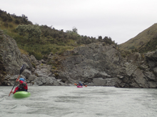
Boogie (II to III). A few more small rapids keep you paddling until take-out.
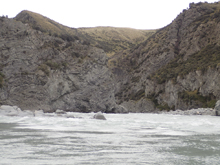
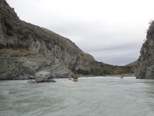
Take-out: Honestly, just google "Rangitata Rafts" to find your way to the Peel Forrest and get out there. From the rafting base, continue straight past the rafting company and continue on the dirt road. You will pass through several gates, leave as you found them. And park across from the powerhouse.
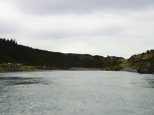
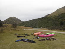
Put-in: Go back out to Rangitata Gorge Rd (main road just past the rafting company) and turn right. Continue for 10.6 km. Just as you enter the valley with the river, you will see a dirt road on the right. Go through the gate and head down to the river (there is another gate as well). It is maybe one more km from the first gate.
HTML Comment Box is loading comments...

