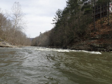
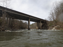
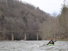
Pigeon River (Pre-Dried Pre-Helene)
| Stretch: | Jonathans Creek to Fines Creek Rd |
| Difficulty: | Class III (IV). |
| Distance: | 3.9 miles |
| Flows: | 600 to 4,000 cfs. Pigeon at Hepco USGS's gauge near take-out |
| Gradient: | 30 fpm average |
| Put-in: | Near Riverwind Drive, on Jonathans Creek |
| Take-out: | Fines Creek Rd Bridge |
| Shuttle: | 4.5 miles, (10 minutes one-way). |
| Season: | Fall, Winter, and Spring from rain |
| Written: | © 2019 |
This was the main reason I wanted to come and do Jonathans Creek and this section. Several months ago, Kirk and Justin got skunked on a different run and ended up here. They reported it to be surprisingly good. That, along with my curiosity from driving along the river on my way to Asheville for the past 5 years was all I needed.
This run really was surprisingly good. And it has a gauge. So I am really not sure what it doesn't get run more often. I found it to be similar to Chili Bar or Pigeon Point, classic class III pool drop runs from California. Sure, it isn't the non-stop action that you get in the smokies, but there are more class III moves to make here then on the gorge, and better surf. For my money, this is a far superior run that the gorge in every way. Other than, it doesn't have a dam release. But, it does hang in for a long time after rains. In fact, a week ago we got a small rain that broke the river from 1,300 to 2,500 cfs. It is still at 1,200 cfs. A week later! The drainage is just that big!
Anyways, the run is very nice. Just stay on your toes as a few rapids have moves to make, so plan to scout a time or two, especially at the last rapid.
The main drawback of the run is the highway, which is always directly next to the river. This of course results in plentiful trash on the shore. That coupled with the famously bad water quality thanks to the upriver paper mill... means that this run will never be super classic. But, the water quality has improved leaps and bounds over the past 20 years, so, don't be frightened by the reputation. And hey, it is the same water that gets released through the Gorge downstream, so if you don't have a problem with that water you won't have a problem up here either.
For reference, we had 1,680 cfs. I thought this was certainly in the medium fluffy range within the standard range of flows. I have heard that people call 600 cfs minimum, I would think it is much easier and bonier at those flows. I would estimate that 1,200 to 1,700 is optimal. But I would also estimate that you could run it much higher than that if you are a confident boater who is comfortable on bigger water.
2024 Note: This write-up is from pre-Helene. The reports are of drastic changes. I will try to get updates as they become available.
Mi 0.0:
- Jonathan's Creek (II-). Assuming you park somewhere just above the confluence on Jonathan's Creek, you will get a small class II rapid leading to the confluence with the Pigeon.
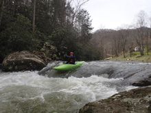
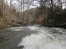
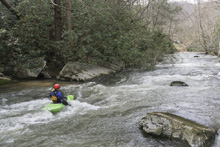
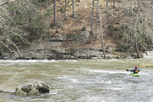
- Tongue (III). The first bigger rapid, we eddied out on the right side of the left (main) channel and got a view down into the rapid. We ran the rapid far left thought the entrance to avoid the meat of the hole that the tongue funnels into. You could also go through it if needed, it might flip you but it would flush for sure. Downstream is a small runout to run wherever.
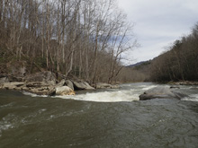
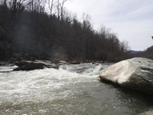
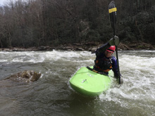
- Ramp (II). A small ramp rapid, we just ran down the tongue into the meat.
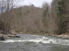
Surf City #2 (II+). A long boogie rapid has numerous sweet play spots on it.
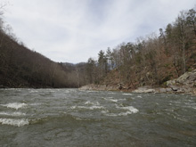
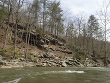
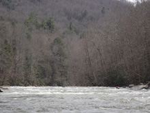
- Island (III to IV). We thought, this must be the class IV that Kirk mentioned. It wasn't. But at 1,700 it was close to IV. At higher flows I think it would be for sure. And we ran the straight forward line. We eddied out on the right and I could see down enough to run it, Jeff got out to scout and take pics. We ran down the right shore, and moved left in front of a small rock pile and continued driving left to avoid a pour over in the middle of the river below. That was the easy line as it turns out. I got out on the island to take pics of Jeff and saw a meatier, but less clean line in the middle, and then a clean but meaty line in the smaller left channel. The latter was tempting for me to carry up and run, but it was cold, and I was cold, so I didn't. The latter was also class IV I would say.
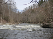
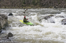
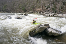
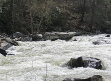
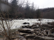
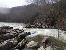
Boogie (II+). Some nice boogie in this section as the gorge walls tighten.
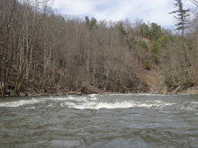
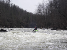
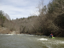
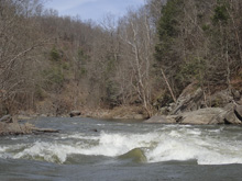
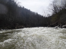
- Diagonal Hole (III). Another horizon, this one looks meaty on the right as you float up, which caused Jeff to pop to the left shore for a quick look, just as the view of the drop appeared which showed that the hole wasn't as bad as expected and a window was present on the far left. We ended up aiming for part of the hole as it wasn't terrible. You could also surf it if you wanted, though I doubt you would stay on as it was angled downriver to the left.
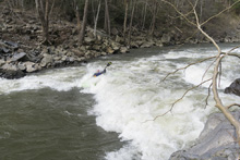
- Round the Bend (II+ to III-). The next rapid was straight forward enough, I ran left of center through some nice offset small holes. They were avoidable to the right. The river then bends right and has some nice boogie runout.
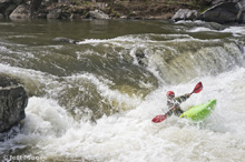
- Dam (IV). The biggest rapid of the run is the last rapid. We scouted right. I think you could also probably scout left, but I think it wouldn't help from a safety perspective. The top of the rapid is made by the remnants of an old dam. On the far right, there was a small step down, we ran that. There was a taller boof in the middle that had more nasty tow back, and there was a left line that you could run left to right though I didn't want to run it in my Antix as it had a nasty seam to punch through directly above a nasty looking rock pile, I wanted my creekboard for that line for sure. So yea, we boofed the dam step down on the far right. Below, the rapid goes for another 200 ft and was best run down the far right, punching a small ledge hole before working back left off the rock jut on the right shore. You can portage just the top ledge with ease on the right, but you can't portage the bottom half from that side fyi, for that, use the left shore.
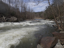
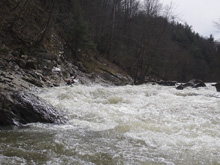
Take-out: From Hartford TN, take US-40 East towards Asheville. Follow this for 19 miles, through the gorge, and along Waterville Lake. Just past the rest areas, take exit 15 for Fines Creek Rd. Turn right, cross the river and park on the shoulder on the right. We walked up the drainage ditch under the bridge, which was steep but doable.
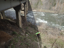
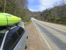
Put-in: Continue on Fines Creek Rd for 0.8 miles. At the 4 way intersection, continue across it onto White Oak Rd. Follow White Oak Rd for 3.7 miles. You will cross under Highway 40. Look for a place to park just past it where Riverwind Dr goes off to the left. Jonathans Creek is just below you.
HTML Comment Box is loading comments...

