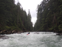
Perry River (Upper)
| Stretch: | Upper Canyon |
| Difficulty: | Class IV to IV+ |
| Distance: | 4.15 miles |
| Flows: | ~700 cfs to 2,500 cfs (no gauge, "Revelstoke Whitewater" facebook group is a good place to inquire) |
| Gradient: | 102 fpm average (mile 2.25 to 4.15) |
| Put-in: | Decommissioned Rd |
| Take-out: | Small Creek |
| Shuttle: | 7.0 km, 10 minutes one way (decent dirt), plus ~10 minutes of walking |
| Season: | Spring and Summer off of snowmelt, wide range of boatable flows |
| Written: | © 2018 |
| Featured in A Wet State #141 | |
Jobless Summer 2019 Roadtrip - Day 25:
Morning came and I woke up early per the norm, and decided to head to the Jordan to check on flow. We heard it might be getting low enough. I sent a pic to Katrina who reported it was a good high flow and gave us some beta. We then packed up camp and headed into Revelstoke to meet up with a guy I met on facebook, Richard Maggs. The plan was to do the Jordan, but with weather cooling I thought it might be good to reprioritize the Upper Perry which was getting "low" before it dropped out and give the Jordan a day to drop lower too. So the plan was changed and we headed out.
The Upper Perry has two different put ins. At some higher flows people put in below the Upper Canyon which takes out the majority of the teeth in the river. The upper canyon has two main rapids, the first is a ledge, the second is a folding ramp. Both can be scouted on the left. They come one after the other so if someone gets into trouble on the first one they are likely going to flush into the second one. Downstream, the river turns into fun boogie. Stay on your toes though for Carl's Hole which is one last long rapid that is bigger than anything else and ends in a large hole that you want to boof far left (at low flow anyways).
For the record, we had 47 cumecs. PaddlingMaps reported that this was a low flow. But it felt every bit of medium to me. I think it all just gets skewed because people run things here high and really fricking high. Richard told us the last time he was in there the water was here *gestering with his hand at head level as we stood on the shore*. Crazy...
I thought this river was super fun, though a little short. I can see running laps, though there is a smidge of a walk in that takes maybe 10 minutes so laps would get a bit tedious. But you could mix in some other Revelstoke fun while you are at it for sure. Also at even lower flows, you can check out the Lower Canyon which can't be run at high flows. Still, as it was, this run was super fun.
For us, the day continued with a trip to Mt Revelstoke National Park. Only, at the gate we got the news that starting that day they were trying to catch and collar a bear so the park was closed. Damn it. So instead, we went to scout out the White Mile on the Ille. While scouting we decided it wasn't worth the effort and instead went to Mt Begbie Brewery which was right there and began drinking. That evening we went downtown to listen to music, they have music every night during the summer in Revelstoke. And it was there that our friends who we met in New Zealand met up with us, so we caught up with Mikel and Terral.
Previous: Jobless Summer 2019 Roadtrip - Day 24c: Wilson Creek (5.5 km)
Next: Jobless Summer 2019 Roadtrip - Day 26: Jordan River
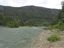
Mi 0.0:
- It starts off flat...
- Upper Gorge Entrance (III). Before the first rapid, if you want to walk the gorge (high water perhaps) you want to get out on the left and walk over the knoll to cut the corner off the bend in the river to get around the gorge. At river level it would be hard. Ok, so you are running the Upper Canyon, the entrance is just class III boogie but drops you into the canyon.
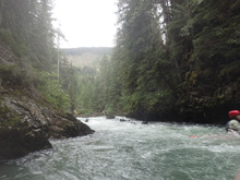
- Double Drop (IV+). The first drop had a few lines for a few different flows. We scouted on the left and ran a left slot which had a little boof over a hole and led to another left channel that we ran down the middle which ended in a boof over a bigger hole. There was another more exposed line on the right of the center rocks that was a bigger boof over a bigger hole and less change for safety. Immediately below is the next trapid
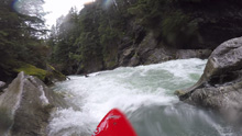
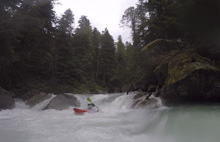
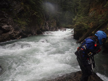
Exit (IV+). The river splits around a midstream rock and careens down a slot that drops into a hole and more seriously, a slightly undercut left rock. We scouted left. We entered left and drove right to avoid the undercut. I think if you are going direct from the rapid above you could more easily just go right the whole way.
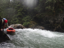
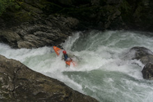
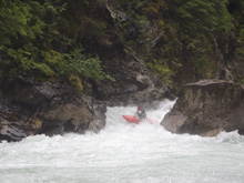
- Carl's Hole (IV+). The last big rapid happens when the river opens up a little more. It is a long rapid that has bigger boogie than above, with some holes to punch, before you arrive at the exit ledge which packs a big hole. There is also a small hole directly above it that will rob some of your speed, so be warned. At the lowish flow we went far left. I think at really high flow you might go far right.
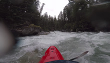
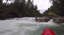
Boogie (III to IV-). The canyon opens up and is straight forward boogie.
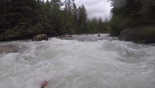
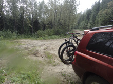
Take-out: From Revelstoke, head west on BC-1 / BC-23. Follow this for 42.7 km. Less than a km after crossing the river, take a right onto Perry River Rd. This quickly turns to dirt. Always stay low at forks. After 3.5 km, you will park just before you get to a small creek and bridge. The trail from the river starts in the creek and then jumps to the downriver side of it. Park off the road as this is active for logging (2018).
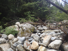
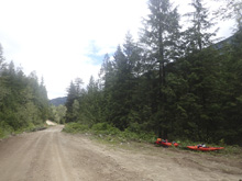
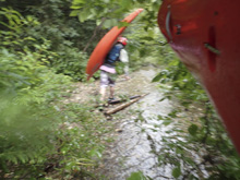
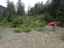
Put-in: Drive 7.0 km further up the road. I do not remember any other turns in this part, if in doubt, stay low. You will park at a smaller and overgrown road. From there, walk downriver down the overgrown road. After a few hundred yards a creek drops down to the left, follow that down to the river another few hundred yards. It is a bit of a scramble at the end. The walk down took maybe 10 minutes.
HTML Comment Box is loading comments...

