Jordan River
| Stretch: | Rapids #1 to #6 |
| Difficulty: | Class IV+ to V |
| Distance: | 2.3 miles |
| Flows: | ~500 cfs to 1,500 cfs (no gauge, "Revelstoke Whitewater" facebook group is a good place to inquire). Also, in the picture linked in the take-out description, there is a hole that is 10 feet down river from where the tree stop on the island. That is the gauge rock. If it is a hole, it is high, if it is a small feature it is medium, and if it is just splashing over it it is low |
| Gradient: | 167 fpm average From #1-#6 |
| Put-in: | Side of the dirt road |
| Take-out: | Bridge on Jordan Mainline |
| Shuttle: | 4.5 km, less than 10 minutes one way |
| Season: | Summer from snowmelt (typically too high during peak snowmelt) |
| Written: | © 2018 |
| Featured in A Wet State #141 | |
Jobless Summer 2019 Roadtrip - Day 26:
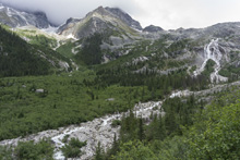
How often does a destination city of a quality piece of whitewater within 10 minutes of downtown. In my experience, not very often. For Revelstoke, they are blessed in this way with the Jordan River. Saying it is 10 minutes from town may actually be and overstatement. It may just be 5 minutes. It is seriously close. And on that note, Revelostoke also has the Ille which comes in on the opposite side of town. What an awesome boating town. Too bad there isn't any winter boating here though of course!
The previous day we had checked the flow and it was reported to be high but good. We delayed a day in order to get the Perry before it dropped lower and to allow the Jordan to drop more. However rain came in that day and the Jordan was reported much too high later than evening. Still, we made plans to head that way in the morning hoping that the spike was short lived. Arriving at put in we were pleased to find that the flow was the same as it was the day before, high but good. The gauge is a rock on river right of the main channel. If it is a hole it is high, if it is splashing over it it is medium, if it is high and dry it is low.
The Jordan is a short run, but in that short distance the action is packed. After a brief float in, you quickly get to the first rapid. This one is apparently difficult to portage, and it doesn't look good, but at our high flow it goes fine. Honza scouted it on the right and gave the rest of us beta and we dropped through the double drop on the right driving left. The second drop is the biggest and most commonly portaged. The portage on the right is up a rock face requiring team work, but not overly difficult. The drop packs a mean hole, a mystery slot, and a cave on the right. It is dangerous for sure. The third drop was scouted on the left and is the easiest drop of the river, with a boily entry to a boof over a large hole. Below the river opens up above the slide rapid which is the fourth rapid. This one is where the race starts, and laps sometimes start here to avoid number 1 and number 2. The slide is fun and has a small exit that should be run left to avoid a piton. The river then opens up for a bit before entering the next canyon which starts with a small rapid leading to number 5. Scout right. A few holes are avoided on the left before the final ledge which is against the right wall. Immediately downstream is number 6. Check for wood, but the line is fine basically down the center of a crashing ramp in a alleyway. Then, you are out and done.
The run, despite being short, is a classic for sure. The quality of the rapids and the lack of BS make for an exciting hour or two. Plus, the proximity to Revelstoke and the tourist destination that it is, just seals the deal. Additionally, it is easy to mix this with a run on the Perry or the Illecillewaet
For us, that evening after getting lunch in Revelstoke, we headed towards Golden which was a 3 hour drive away. The plan was to meet up with another friend of ours from NZ, Allen Yip, for a few sections of the Kicking Horse River. Plans weren't super solid as to where and when, so we wanted to camp somewhere with a cell signal. After quickly losing signal in the canyon, we turned back and headed into Golden, using the freecampsites.org site to find that there was free camping on the backside of the airport. So we headed there.
Previous: Jobless Summer 2019 Roadtrip - Day 25: Perry River (Upper)
Next: Jobless Summer 2019 Roadtrip - Day 27a: Kicking Horse River (Upper Raft Run)
One Note, the numbers for the rapids is the names that they are referred to, those aren't just me generically naming them. Also, my thanks to Koby Trinker for sharing his pictures with me that he took that day.
Mi 0.0:
- This river starts off flat... but it goes quick.
- Entrance (III to IV-). The entrance drop to the canyon is straight forward, just a wave train. Though, at high flow it ended with a boof on the left over a medium size hole. Nothing scary, but it would suck to get tooled here. Eddy out on the right immediately below to eddy hope to the lip of #1.
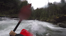
- #1 (IV+ to V). At high flows this rapid looked mean but seemed to go well enough for us all. It is a quick double drop, the top of which you run on the right channel, boofing left with left angle. You only have time for setting your next stroke, but it wants to kick you far right into a pocket and where there are apparently rocks. So, you want to try to stay as far left as you can in that channel and boof the next 8 foot ledge. It was tough to get a good stroke, half got pushed way right, half of us that stayed left plugged, but we all flushed through.
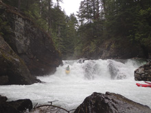
- #2 (V to V+). Mean holes at the top, mean ramp with a melt seam, and a bad undercut/cave on the right. All around a nasty rapid. Scout right. It is commonly portaged, our whole group portaged on the right. You have to pass boats up a small shelf maybe 15 feet tall and then the walk is easy down and back to the river.
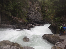
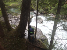
Boogie (IV-). A brief section of boogie is straight forward. We ran it down the far left at the top against the wall. And then down the middle with the water. Eddy out left before #3.
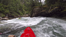
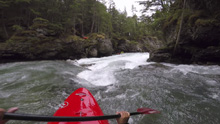
- #3 (IV+ to V-). The second easiest of the big 6 rapids. This one has two tiers. The top is a ramp into a boily spot between two rocks. Stay on the surface and keep it update. The water then runs along a wall before making a 90 degree left turn and dropping over a sticky poor over. We all boofed far right. With good angle, speed, and a stroke it was really easy to boof the hole.
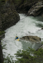
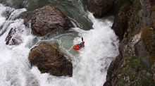
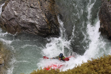
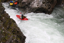
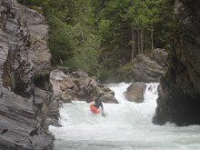
#4 (IV+ to V). Around the next corner is the next big rapid, scout on the left. I have seen videos of it at low flow and it looks so much mellower. The line is left of center down the top slide which is steep and ends in a step down. Then a brief in between section leads to an exit which you want to hug the inside (left) side of the corner to avoid boofing onto rock (hidden behind the middle boof). At high flow we were also able to boof the smaller left channel with ease.
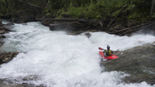
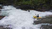
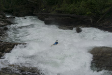
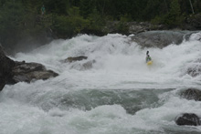
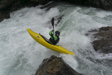
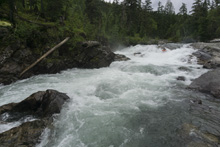
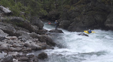
Boogie (III to IV). A brief section of mellow boogie starts. Actually therte are one or two good holes but it is in an open area with no danger.
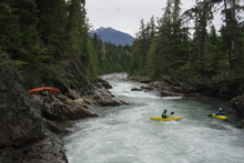
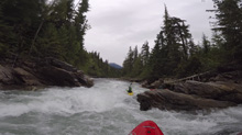
- Entrance (IV-). You will start to enter the next canyon on a strong right bend. It is a straight forward rapid that ramps into a small hole. Hit it straight and eddy out on the right immediately after to scout.
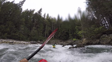
#5 (V- to V). The next rapid is a tricky one negotiating currents, boils, and holes. You want to run down the left side of the main channel hitting the edge of 2 holes before lining up the big exit left which wants to pit you into the depth against the right wall. Boof with a little left momentum and angle! Scout/portage on the right.
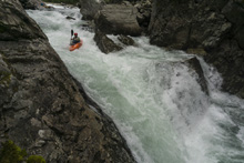
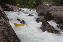
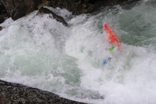
#6 (IV+). Immediately below is one last rapid, and the only one that we didn't look at. Well, we did check for wood as we were the first run of the year. But, it is a straight forward though still sizable rapid. A short, but full of holes, lead in led to a drop which we ran left of center and lands in a corridor. No real danger to the drop, but it was a white out ride.
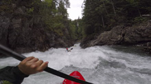
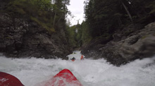
Boogie (III). The river bends left, a few boogie rapids are there before you quickly get to take-out.
Take-out: From Revelstoke, head west on BC-1. Cross the river just out of town, and take the first right just after the Rest Area. This is Westside Rd. Follow this for 3.8 km up the Columbia. Eventually, turn left onto Jordan Mainline dirt road and drop quickly to the river and the bridge over the river. On the far side of the bridge there is parking on the downstream side. We accessed the river on river left, just above the bridge.
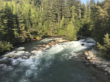
Put-in: Continue up the dirt road, in 1.5 km, stay left on the main dirt road (alternatively, the race starts at #4 which is to the right here). In another 650 meters, stay right as another dirt road merges in. In another 750 meters, turn right onto another dirt road. Follow this for 1.6 km. The road begins to get overgrown with barely enough room for a car on the side. Park on the side near where an obscure trail drops down quickly to the river as soon as the river is nearest to the road.
HTML Comment Box is loading comments...
