Mistaya River (Canyon)
| Stretch: | Below "Mistaya Canyon" to North Fork Saskatchewan |
| Difficulty: | Class III to IV- |
| Distance: | 2.0 miles |
| Flows: | No gauge. ~400 to ~1,000 cfts |
| Gradient: | 96 fpm average |
| Put-in: | Just below tributary creek on right |
| Take-out: | Icefield Parkway bridge over North Fork of the Saskatchewan |
| Shuttle: | 3.2 km, 5 minutes one way, plus a 10 minute walk in. |
| Season: | Summer from snowmelt, don't go in too high |
| Written: | © 2018 |
| Featured in A Wet State #142 | |
Jobless Summer 2019 Roadtrip - Day 34b:
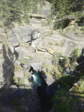
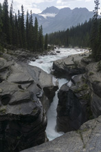
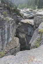
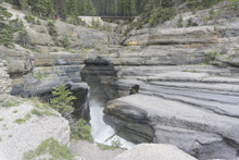
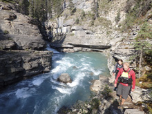
The previous day, Diane and I had tried to get an evening run on this section. I meant to bring the phone with me which I had saved the beta for put-in access to the canyon but of course I forgot. I remembered the first option which we managed to find, a scree slope leading down to the river VERY steeply and dangerously, extending well over 150 ft (i.e. more than our ropes were long), so we bailed on that option and spent an hour wondering around looking for other access on river left downstream of the scree slope. We finally gave up, and instead spent 30 minutes being tourists at the slot canyon that separates the upper section (open, continuous non-descript class III apparently) and the lower canyon section. This slot canyon is totally deadly, but super pretty to look into. Once we had hiked the short ways up and out, back to the car we found the other put in option is on river right, opposite from where we looked. At this point, we didn't feel like hiking back down so we just drove back to Canmore where we camped for the night.
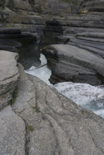
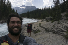
The next day, after a bike ride and a paddle on the Upper Bow, we decided with Gerard to give this run another chance. He had done the run and vaguely remembered some of the info for logistics. By chance, as we undid our Bow shuttle, there was another group about to put on the Bow who had more info and somewhat recent wood report. Everything fell into place, we now had mostly dependable info to go on, so at 4:30 we set off for the 1 hour drive North back to the take-out.
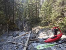
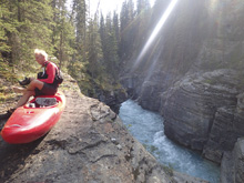
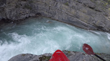
Arriving at take-out, we quickly set shuttle, leaving Gerard's car and then went to put in. With the added beta, we quickly found an access point into the river. The access has two options. The first is to pass boats over a ledge that is maybe 15-20 feet off the shore, a fall would be bad for the legs for sure, or a seal launch. Apparently there have been numerous broken backs on the seal launch, but I opted for it as it was only 15-20 feet tall and seemed easy enough to set your angle. It was. Diane followed. Gerard did the ledge. I imagine that the broken backs are from class III boaters seal launching in without knowing how to set their angle. That's what I told myself anyways.
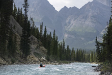
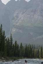
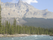
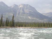
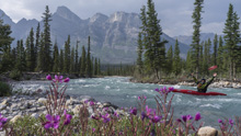
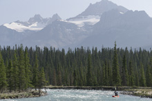
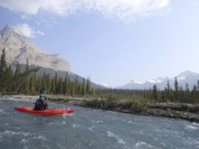
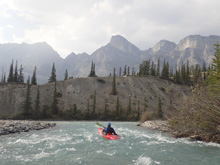
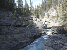
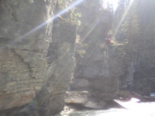
Once in the canyon, the river is super pretty, the walls tighten on you, giving you a sense of foreboding, your only comfort is knowing that the run is just class III to IV. We knew that below the first, and biggest rapid, there was a log that we could go over on the right, but knew little else. The first rapid was a fun wave train that dropped you into a pinch between limestone walls, with the hint of undercut on both sides. The nature of this river, limestone walls, makes me think that in addition to all the undercuts that were visible, that there were more below the surface. As it was, we had a medium low flow and the eddies were plentiful. The log was easily avoided with two eddies to work towards it. The rapids had big eddies with shore access above and below, in all, it wasn't nearly as committing as I expected. But I guess that is what you should expect with class III to IV. There was one ninety degree left turn where the current drove into an undercut, but it was easy to avoid as it was just in class II or ferry in front of if not noticed soon enough. Before long, the river opened up. Downstream there were a few more fun class III rapids before the scenery of the Rockies turned epic and the whitewater mellowed to class II. You then hit the North Fork of the Saskatchewan and quickly get to take-out.
Honestly, this run is in my top three for the trip. The scenery and the sense of adventure in the canyon were truly unique. I didn't even know this river existed until someone posted a few days prior about trying to find a group. I am so glad that that put it on my radar, as I walked away from the day with a sense of real privilege in getting to experience the place. I think, more so than I have on any river since Upper Cherry Creek 8 years ago.
That evening, we went back towards Canmore to crash at Gerard's. First, we took him out to dinner in Lake Louise as a thank you for the hospitality and helping to make the Canadian leg so nice. It just happened that as we pull in, at an intersection we see the guy who gave us beta on the side of the road 3 hours earlier. As I said his beta was spot on, I think he did the math that only 3 hours had passed and we had driven 1 hour plus both ways and kayaked the river. What he doesn't know is, Gerard drives VERY fast.
Previous: Jobless Summer 2019 Roadtrip - Day 34a: Bow (Upper)
Next: Jobless Summer 2019 Roadtrip - Day 35: Kananaskis (Playrun)
Mi 0.0:
- The Pinch (III+ to IV-). From the eddy at put-in, you peal out into this rapid. It is the biggest on the section. The right wall extends out at the bottom creating a pinch that is only maybe 5 feet wide. I am sure both walls are undercut, as that is the nature of the geology here. We went down the center aiming for the pinch, the left had a small hole, and the right had the wall extending, so this was pretty obvious. I would say it is only a class III+ line, but I know that there was a fatality here a few years back at higher flow as a weaker team member was in the back, with other weak members and took a swim and the folks were unable to rescue them. At our flow, I found eddies and shore access to although not be plentiful, to be present. But you would need some class IV boating skill and team work to get boater and boat into the same eddy. So, in general, this is not the place of taking swims.
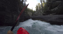
Boogie (II to III-).
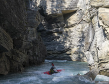
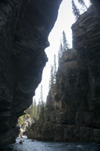
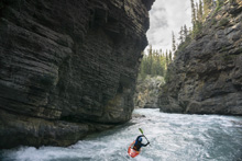
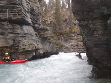
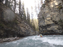
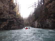
- Ramp (III-). As the canyon walls begin to peal back a little, there was a rapid that had a bit of a horizon line and an undercut on the left. We ran down the center, just take care with the left wall. Below, the walls tighten though are less tall now.
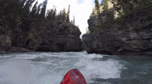
- Undercut Wall (III). Just before the exit of the canyon, the river makes a 90 degree left turn and the water all goes into the right wall which is undercut. I would say this is the worst feature of the run. It actually isn't a rapid, just fast moving green water. You can run it direct if you know it is there, we caught an eddy on the right to see into the tight canyon below to ensure it was clear of wood, and then ferried in front of the undercut. I bet at higher flows this spot can cause issues. 100 yards downstream the canyon opens up.
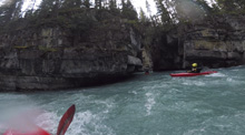
- Boogie (III- to III). Now with the canyon open, you get class III- to III rapids that are shoal rapids. Take care as there are still some undercuts here.
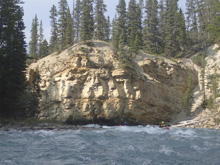
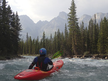
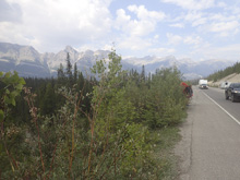
Take-out: From Lake Louise, take AB-93 North towards Jasper for 76.8 km. Just before you cross the North Fork of the Saskatchewan, pull into the parking area on the left. (The gas station and rest area 300 yards past the crossing is called "Saskatchewan River Cross" on the maps fyi).
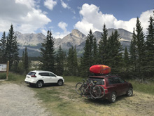
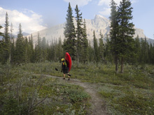
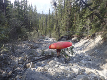
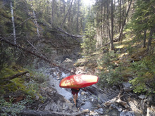
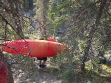
Put-in: Head back south on AB-93 for 3.2 km. There is a trailhead parking area for Maligne Canyon. Park there. To access to easier/safer put-in, follow the trail down 100 feet. The trail bends left, but right in front of you is a washout culvert. Take the culvert off trail (though it is also super pretty to see the unrunnable part of the canyon by following the trail 600 meters or so, but harder to access the river from there... so maybe stash boats at the top and walk down the trail first to site see). So on the culvert, walk down it until it turns to bedrock and begins to fall steeply. Look for a small offshoot trail on the right which goes up and over a small outcrop. The backside of this mound has a "trail" which drops steeply to the canyon rim. Traverse a 100 feet and either seal launch, or pass boats across the ledge to downclimb all the way to the river. The walk in takes maybe 10 minutes if you know where you are going.
HTML Comment Box is loading comments...

