Jori (Lower)
| Stretch: | Lake to E136 |
| Difficulty: | Class IV+ (Rapids were mostly just class IV but it was 100% non-stop! And that was at a medium flow!) |
| Distance: | 6.2 miles |
| Flows: | 50 to 100 cms (1.5m to 2.0m is ideal) |
| Gradient: | 117 fpm average |
| Put-in: | Lake above the toll rd (100 kr) at bridge over the river |
| Take-out: | E136 road bridge |
| Shuttle: | 10.7 miles (20 minutes one-way) |
| Season: | May to July |
| Written: | © 2015 |
| Featured in A Wet State #103 | |
Norway 2015 - Day 11 Morning
The night before, we were sort of uninvited as guests in Paul's house... not by Paul, but by his landlord who apparently did not like us sleeping the previous night on Paul's floor. So, we headed to the Sjoa Kayak Camp at the top of the Åmot gorge and talked to the other boaters there about flows. It was there that Ben Hawthorne told us that most runs were going to be too high, the Finna, the Shirly etc. But that the lower Jori would probably be a great flow. So we made the plan for the next day.
The Jori is about an hour from Sjoa, up towards the Rauma. It is a bit of a drive but a small price to pay for flows in the proper range of good. The guidebook said a 17 km run which would make this the longest run of our trip. However at the end of the day we thought the miles had gone by really fast. Sure enough, when I measured the distance for this write up the run is just over 6 miles... far short of the 10.5 miles the book described. The shuttle however was exactly that long. I wonder if they copied the wrong piece of information down from their notes.
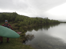
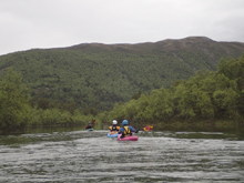
The run starts off with one km of flat water before at the end of the lake you exit into a rapid that is one of the few that you want to know where to be. Stay down the far right you avoid a large hole and then just hang on for the next 9 miles of non-stop action. Literally, there are no pools. There are a few ebbs which leave you in class II whitewater, but for the most part there are very few eddies and the action is almost entirely class IV. The catch is in those details, unlike the class III to IV rating in the book, I would never take anyone less than a class IV+ boater with a 100% confident roll in here. A swim would be very dangerous and difficult to rescue and gear would almost certainly be lost. The action is seriously non-stop. Too that note though, also don't be scared off by the holes directly under and downstream of the take-out bridge. These are by far the worst on the run. On the run everything was read and runnable at the flow we had.
We had 1.7 meters which is smack in the middle of what we were told is the ideal flow, between 1.5 and 2.0. I am sure this run is mellower lower and perhaps that is when it gets its class III to IV rating. But I also know people run it higher too, and I could see that for confident paddlers with plenty of skills doing some big water read and run, bigger water could be more fun. As it was, I was glad we had Will with us, fresh off a summer living on the North Payette and eager to lead and fire off the drops as we approached them. It always inspires confidence when you have someone unphased by the unknown on this type of whitewater!
After the river we went to the nearby town and bought some food to BBQ at the take-out along with Harry's family. That really was a great way to end the day. Good food, good friends, and a nap.
That night we went back to the Sjoa Kayak Camp, eager for the next day when Harry's brother and cousin would join us. They were going to Norway to hopefully head further North and this was the first days of their trip. So it was nice to cross paths and see good friends.
Last: Norway 2015: Day 10 - Store Ula
Next: Norway 2015: Day 11 Evening - Ula (Lower)
This run is impossible to give a rapid by rapid description. Here are a few things:
Mi 0.7:
- River Wide Hole (IV). After paddling the flat water you enter the first rapid which is also one of the only ones where you want to be somewhere specific. Basically, just be far right. The left two thirds of the river is a big hole.
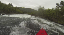
Boogie... It just doesnt stop!
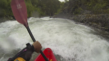
- The Grøna enters on the left and nearly doubles the flow. It starts to feel more pushy if the water is up.
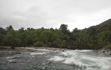
Boogie... It really just doesnt stop!
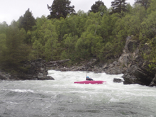
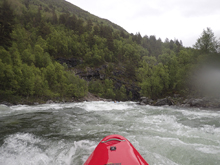
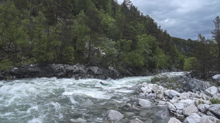
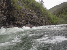
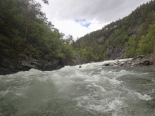
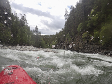
- Walls (IV+). You enter a section that has walls rising from the river on either side. The river bounces from wall to wall. The first of which as it deflects to the left has a sizable reactionary coming off the wall, it took a lot of strokes to avoid it to the left. Below, just stay generally off of the walls.
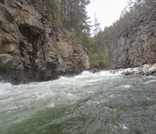
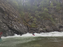
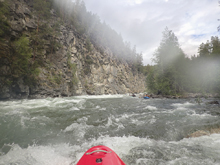
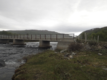
- Road Bridge (IV+). Directly below the road bridge is a few holes that are serious. Scout before leaving take-out. Directly underneath the bridge is one that we went right of and then booked it back left to the shore to take out. Just downstream is a double set of holes that looked very serious and are not recommended if the water is up.
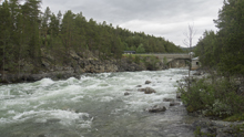
Take-out: Head north on E6 out of Otta. Follow this for about 37 km to the down of Dombås. In Dombås get onto E136 via the roundabout in the middle of the town. 2km later there is a bridge over the Jori. The dirt road that leads to the gauge and the access is just before the bridge, on river left.
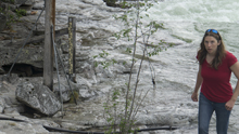
Put-in: Continue on E136 for 10.7 km. I don't know the name of the road to take, but it is a sharp right. As I recal we then quickly turned left and crossed some train tracks before coming to a toll. We then continued to climb heading back down towards the way we came from. At the summit (4km) we turned right to drop down the back side, staying left at the fork that came early on. After 2.2 km we got to the bridge over the river. This is put-in
HTML Comment Box is loading comments...
