Isel (Cataracts)
| Stretch: | Feld to Huben |
| Difficulty: | Class IV+ to V |
| Distance: | 1.9 miles |
| Flows: | 225 cms to 300 cms. Check "The River App" |
| Gradient: | 169 fpm average (first 0.3 miles is 217 fpm) |
| Put-in: | Bridge to Feld |
| Take-out: | Turnout just North of Huben |
| Shuttle: | 3.0 to 5.2 km (5 minutes one way) |
| Season: | Spring to Fall (can get too high in summer) |
| Written: | © 2016 |
| Featured in A Wet State #114 and in A Wet State's contribution to World Kayak's Video Guide | |
Austria & More 2016: Day 7 Evening
After running the waterfall section on the Defereggenbach waterfalls and scouting the lower gorge, we headed over to the Isel for the Cataracts section. I had spotted the crux section of this run from the road the day before as we drove to Lienz from the upstream Isel gorge. After spotting it, Reiner suggested we do it the following day and explained that it was one of the original "class V" classics from the area from back in the 70s. These days it would take healthy flow to make it class V. At our flow, which I would call the low side of medium (without being low) it was a bunch of IV+ moves but all tied together so sorta class V- in nature. The crux itself is short, you might as well scout it all before dropping in as once you are in it the rapids all comes at you quickly, but also it is literally only a few hundred yards long. The key moves to make are the entrance, we moved hard right into the right channel as the left channel has a weird feature partway down. Then halfway down the right there was a rockpile that you needed to move left in front of to then rejoin the full flow. Finally, the exit drop is the biggest single move though surprisingly friendly.
It should be noted, this section changes every year. We had less than a thousand cfs (245 cms) but this section yearly gets several thousand. So scout and pick your lines. It was also very low for this time of the year... though a nice first time flow. Normally by the late Spring and Summer it is much higher, and more like the North Payette, though also much much shorter.
Also, despite being short, this section was quite fun and a great way to end our day. It only took 40 minutes to do the Cataracts and then continue down part way through the downstream Huben section. So, if you have time after doing Isel Gorge, or something on the Defereggenbach or Taurenbach, think about getting a quickie here!
Thanks to Harald and Reiner Glanz and Jim Janney for sharing photos and for making the trip possible!
Last: Austria & More 2016: Day 7 Afternoon - Defereggenbach (Waterfalls)
Next: Austria & More 2016: Day 7 Evening - Isel (Huben)
Mi 0.0-0.25:
- Entry Ledge (III). Just below the bridge is a little hedge. We went right of center. Then then has the last bit of calm before enter what is essentially one long rapid.
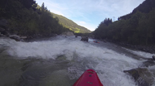
Split (IV+). A wave train with some holes then splits the river. We scouted it all before hand and choose to go down the right. One person in our group was pushed left and had to scramble through a plan B channel back to the right.
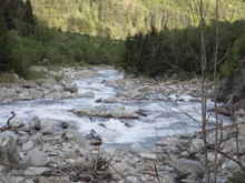
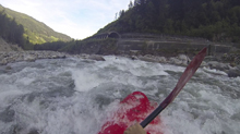
Down the Right (IV+). Once in the right channel, we went over an old concrete dam site before then boofing a ledge on the right and working left to the left exiting channel. The right exit looked like a bad place to be. This then dropped us back into the main current just below the move in the left channel of the island that we wanted to avoid.
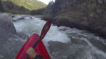
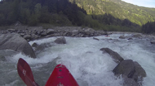
Straight Away (III+). A hundred feet of small holes to negotiate led to an eddy on the left that you could catch to scout the exit from.
Exit Crux (IV+). We ferried out to the middle and ran it straight down the middle. It was a folding hole though not sticky at our flow.
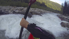
Boogie (IV to III). The river quickly turns into continuous boogie with some fun boofs to keep you busy to take-out
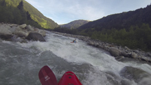
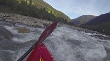
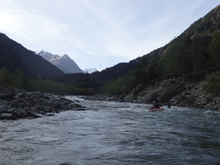
Take-out: Depending on where you take-out there are different options. You can even hike your shuttle if you just want to run the hard section as that is less than a half mile. I would opt for the Huben access or the downstream access. For Huben, just get to the town of Huben on B108. Park just upstream of town at the turn-out. The lower option is 2.1 km further downriver, just after the Kalserbach, there is a wide turnout that is marked with river access signage.
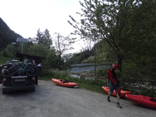
Put-in: Upstream 3.0 km from the Huben access, just as you exit a tunnel along B108, park on the right at the turn-out. Scout via the road before putting on.
HTML Comment Box is loading comments...
