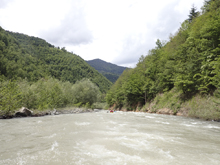
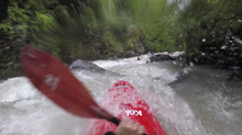
Chirukhistskali
| Stretch: | Above the Adjaristskali |
| Difficulty: | Class IV to V |
| Distance: | 5.2 miles |
| Flows: | No gauge. Estimate at put-in: 300 cfs |
| Gradient: | 177 fpm average |
| Put-in: | 200 meters upstream of the bridge over the river |
| Take-out: | Bridge at the confluence with the Tbeti |
| Shuttle: | 8.5 km (25 minutes one-way) |
| Season: | Spring and ? |
| Written: | © 2017 |
| Featured in A Wet State #130 and in A Wet State's contribution to World Kayak's Video Guide | |
Our thanks to our trip leads at Two Blade Adventures.
Republic of Georgia 2017 Day 3 Morning:
Waking up, we were pondering heading down river to a different tributary, the Chavanistskali first before it got too high, and then coming back for an afternoon run down the Chirukhistskali. As we head down to the confluence of the Chirukhistskali we find higher water than the night before, knowing that the Chavanistskalis almost certainly too high, we decide to run the easier of the two, the Chirukhistskali.
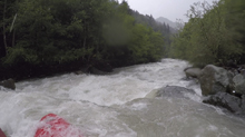
Driving up we don't see too much of the run, but we do see that the river is a long way down a steep canyon that seems mighty committing. Arriving near the top, we finally see the river and see a non-stop rollercoaster of water cascading down steep rapids forming powerful holes, and a relentless push towards hazards in the form of sieves, trees, and walls. We decided to put in approximately one km downstream, where the gradient becomes more reasonable for the high flow.
Reasonable perhaps, but easy it was not. We were told the run was class IV with one or two class V. Sure, no move was harder than class IV, however the run was continuous and we were falling off the back of Egor and Alona's rapid pace. This was our first lesson that Egor is a fantastic boater and his idea of class IV is different than most people's. Our group stayed with it though, found the rhythm of the river, and realized that there were not huge moves lurking around the corner, and we began to have fun. Still though, the concern of a new piece of wood was ever present in my mind, a concern that was realized in its fullest affect a few days later.
The first gorge we entered held some great non-stop class IV before it opened into a mellow valley. One or two spicier rapids were in the valley before you approach a bridge which marks the entrance of the second gorge. The second rapid of the second gorge is one of the biggest on the runs, and should be inspected on the left. The boof over a large hole is simple enough, but on continuous rivers should be executed properly. Downstream things ease up again though the Landslide rapid will sneak up on you and should be inspected before entering. We scrambled for eddies, barely making slack water to exit the river in, and we had a guide who knew the run. It could be very difficult if you were sorting it out yourself! Below, the river mellows out and you quickly get to take-out.
That afternoon, we drove downriver to check on the Chavanistskali but found Egor's original assumption correct, it was too high. So we changed the plan, and decided that we would head to Batumi, to sleep at Egor's for a few nights. But first, on the way, we decided to boat the lower gorge of the Adjaristskali...
Previous: Republic of Georgia 2017 Day 2 - Adjaristskali (Below Chao)
Next: Republic of Georgia 2017 Day 3 Afternoon - Adjaristskali (Lower Gorge)
Mi 0.0:
- Start (V). So with our high water, we knew we weren't going to put-in this high. We saw the last few moves from the bridge and it is super steep and pushy at the flows we had.
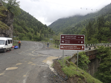
- Bridge and Alternate Put-in (IV/V). Looking downstream from the bridge, you can see non-stop rapids. We walked a little ways down to take a look at the rapids as the road isn't far above the river. A few were powerful and moving you to the wrong side of the river, where sieves, large holes, or rock interactions existed. Again, with the high flow, we opted to head down to just before the road pulled away.
- Our Put-in (IV to V). We put-in just before the road pulls away. It was a bit of a scramble to get down to the river, but it worked out ok. We put in just below a rapid where the river pushes you far right and slams into a wall of rock, the moved looked hard to execute, something Egor confirmed, and we decided as a group to put-in below it. Pushing off however, we were immediately into continuous class IV moves. None of which were harder than class IV, but the non-stop nature of them certainly made it feel class V to me. Big time consequences to a swim for sure. We also learned that 1) Egor and Alona paddled very fast and 2) the rest of us shouldn't paddle in a cluttered group here. Those two items made this first few hundred yards quite entertaining for sure.
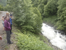
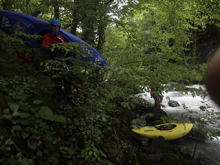
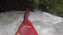
- Tree Portage (V). Luckily, our guides had run this river recently and knew of a pair of trees on the first sharp corner. So we eddy hoped one at a time into an eddy to portage the corner from.
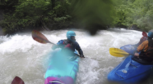
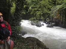
Eases (IV). Downstream the first gorge gets noticeably easier, though no less continuous. I would say the rapids down here are non-stop class III leading to class IV rating.
- Tightens Briefly (IV+). The river tightens back up briefly and it can be worth scouting on the left as wood apparently collects here sometimes. The rapid started in a gorge where two teirs dropped you through two soft holes. Then the walls opened but the continuous nature continued for several hundred yards downstream. Just go with the read and run. Soon it mellowed back up for a few minutes.
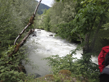
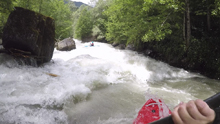
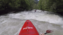
- Bridge and Start of Second Gorge (V). The first section of the second gorge was the crux of the run. The first rapid starts 150 yards below the road bridge. The first teir, just follow the water as it moves left to right. The second tier you want to run down the right, but make sure to avoid the right wall. The third tier has several reactionaries that you want to use to get to the left eddy just above the final tier. The final tier is a 6 foot drop over a sticky hole that can be scouted on the left. Normally the line is far left of the main channel, using the rock to boof. Diane misinterpreted Egor's direction that he relayed (he chased Alona who blew through the eddy, to ensure she didn't swim) and we used the peak of a wave to boof right of center. That line actually worked great, and Alona had come back up to set safety for us while we scouted which was nice. Below, the river ricochets off a few rocks in a tight and constricted channel. There was a big eddy on the right below this that we stopped in while the team came through.
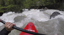
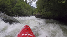
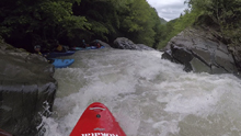
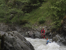
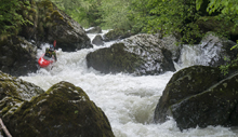
- Ledge (IV+). Immediately downstream, you enter some boogie that ends in a 5 foot sliding ledge with a good size hole that wants to put you into the right wall. We all punched through but it would suck to get stuck in that walled out hole.
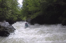
- Big Wall (IV+). After some boogie, you will see a large shear wall in front of you on the right. The river bends right then left, stay on the left side of this as the water moves back to the right, there is a sieve against the right shore that you want to stay away from. Downstream, there are two ledges, the second one of which can pack a little bit of a punch, we just went down the right. The river constricts again below but the rapids are mellower.
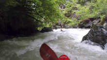
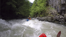
- Junky (IV+). The river pooled up for once (briefly anyways) and bent hard right. A nice waterfall came in down the left. This rapid is junky and collects wood. We scouted on the left and found wood and took an easy portage down the left.
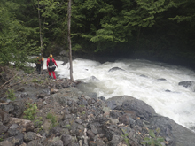
- Landslide (V). The river constricted and we were on the far right when I noticed people scrambling for the shore in hopes of eddies that were not present. So I headed to the shore well upstream of them where a few small eddies were in fact present. We were at Landslide Rapid. This rapid has two parts, the top being the crux where a fan rock needs to be ridden high in the center before sliding down and through a large hole below. Rocks are everywhere as are the holes. The bottom tier also has a lot of rocks and holes. We all scouted on the left but decided with the high water, the line was thin and consequences were high, so we portaged on the left for 100 yards.
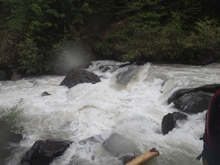
Boogie (III). Downstream is a little bit of boogie that will take you down to the take-out.
Put-in / Take-out: Use the GPS coordinates in the map and a mapping program on your phone. The street names will not be legible anyways...
Put-in: Either put in 100-200 yards above the bridge, at the bridge, or downriver 0.3 miles where the road begins to pull away. The latter is a bit of a scramble down to the river but isn't bad.
Take-out: At the bridge, at the confluence with the Tbeti, take out on river right.
HTML Comment Box is loading comments...

