Adjaristskali (Below Chao)
| Stretch: | Chao to Chirukhistskali |
| Difficulty: | Class III+ to IV (IV+) |
| Distance: | 7.0 miles |
| Flows: | Estimate at put-in: 2,000 cfs |
| Gradient: | 89 fpm average |
| Put-in: | The bridge on the road to Chao |
| Take-out: | Confluence of the Chirukhistskali |
| Shuttle: | 14.1 km (20 minutes one-way) |
| Season: | Spring / Summer and ? (Dam release to begin in 2018) |
| Written: | © 2017 |
| Featured in A Wet State #130 | |
Our thanks to our trip leads at Two Blade Adventures.
Republic of Georgia 2017 Day 2:
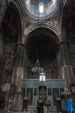
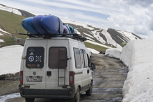
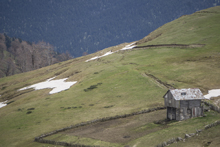
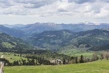
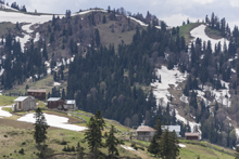
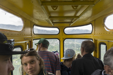
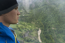
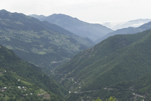
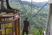
The next day we woke up and laid our stuff out to dry in the sun as everything was soaked by overnight due. After making breakfast and doing dishes, we packed up and began our drive up and over the Goderdzi Pass. The drive is only 45 km or so, but due to rough road took about 3 hours. Cresting the pass and dropping down the other side, we entered the headwaters of the Adjaristskali river. The river is currently near the final stages of having a dam built on it. A dam that may dewater the section within the year. And for us, the operators messing with the bypass screwed our day. But before that happened, we headed to the gondola over the river valley in the town of Khulo. The gondola runs to a small village on the other side of the river, and is the only means of reaching the town during winter months when the road is snowed in. I was honestly pretty gripped because the old machine seemed to not be in super great shape and I had already begun to notice that general infrastructure investment was not a high priority in Georgia. Luckily, we survived. The other nice thing about the gondola ride, other than the views and heart palpations, is that it also allowed us a chance to scout the inner gorge of the run which has a mandatory portage around a siphon.
We then headed back up the river to just below the dam construction. We unloaded our boats, suited up, spoke with some locals, and then walked down to the river. In the 5 minutes it took for the whole team to get to river level, the river spiked 1 meter... pushing it from a high but ok flow, to a much too high flow. So, we called our driver back and loaded back up... heading down river to our planned midway point in the town of Chao, which is also an excellent put-in option for those wanting a class IV day instead of the IV/V that the section above contains. So, that's what we did.
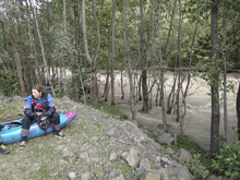
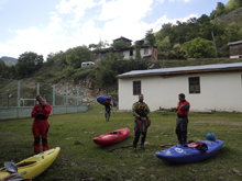
Pushing out of the eddy we immediately find ourselves fighting the high water, which was having its way with us, pushing us around in the river. On the first left turn, we round the corner and find a large river wide hole with significant tow back. One in our group gets stuck and is able to work out as I scrambled onto shore thinking it was surely going to be swim. The river continued, with an unrelenting pace until we found ourselves at a scout. While scouting we are pleased to find that the high water has actually made the rapid easier, with a river wide hole washing out. We head back to our boats and I ponder if the water may be a few feet lower. My thoughts are confirmed as I round the corner and the aforementioned hole is no longer washed out and several in our team take brief rides. Downstream we come to a gorge and Egor takes a quick scout and gives us beta and we follow him through this fun and committing section. Soon, the gorge opens up and one more tougher rapid is passed easily and we begin a few miles of class III- paddle out, as the wind whips up, a sign of the rain that is expected to hit us that night.
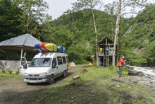
We hit take-out and are approached by an old timer. Somehow, he speaks a little English, and soon asks us... "so what is up with Trump?" It was a theme that we would get used to in our time here. The whole world is confused by our current President, and concerned. Anyways, we conclude the conversation and head up the Chirukhistskali, a tributary that we are going to hopefully kayak the next day. Egor notes he has never seen it with so much water, nor its sub-tributary which we find excellent camping along. That night, we camp as a large rain storm hits and we ponder what the flows will be doing the next day...
Previous: Republic of Georgia 2017 Day 1 - Mktveri (Vardzia Gorge)
Next: Republic of Georgia 2017 Day 3 Morning - Chirukhistskali
Mi 0.0:
- Starts (IV). Immediately below put-in the rapids start and continue for the whole next straightaway. For us, they were filled with some sticky but boofable holes. We general stayed center and when the river constricted around a house size boulder, stayed left. Then the river opened and you got a breather for a moment. If this is all too much, you might consider going back up to the car.
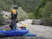
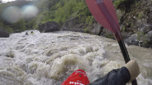
- Hole (IV). After the river bends left, you will come to a river wide ledge. At our flow, the ledge had a stout hole with solid tow back. Luckily it was easy enough to plain out over and clear the hole. One in our group did however get stuck and got beat for a solid minute. I scrambled into a small eddy and got my rope out anticipating a swim. Thankfully, the worked their way out on river right! Downstream, the action continues!
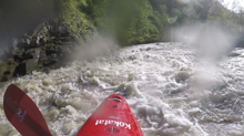
Boogie (III to IV). Boogie continues pretty much non-stop...
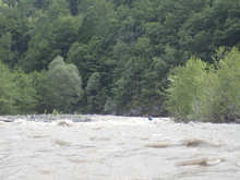
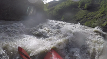
- A wonderful Purtio arch bridge crosses the river. This also marks that you are getting close to the big section.
- Biggest One (IV to IV+). The river looks a bit innocuous here, but you can see in the distance that the river gets bigger. We scouted on the right early. The river splits around a large boulder, the right side had a huge, deep, powerful curler that wanted to push you right, where rock awaited. In the center was a set of holes that needed to be punched. The scout on the right was straight forward, though when we returned to our boats we found that the water had dropped a bit. However, none of us had paid enough attention to what it looked like before we scouted to know just how much. I think it was several feet. This was confirmed as we rounded the corner and found the wave holes now full on ledge holes giving a few in our group brief surfs. Downstream the walls tighten and you know you are getting close to the Gorge Rapid.
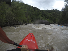
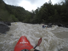
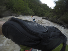
Gorge Rapid (IV). In the tightest part of the canyon is a fun rapid. The first half of the rapid can be scouted on the left. The bottom cannot be scouted at high flows though since it is walled out and there are no eddies at that flow. The top was best run down the far left, the top had a big pour over in the middle and got rowdy on the right wall, hence we stayed left. The bottom move that we ran blind was just to head far left away from a large pour over / rock pillow in the middle. It was mellow.
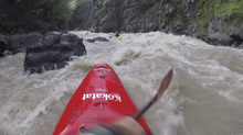
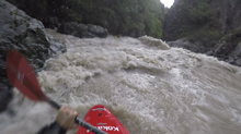
- Not far below the Gorge Rapid, the walls peeled back.
- Bridge Rapid (III+). Somewhere in here, there was a fun rapid that split around the large island/pylon that formed a large foot bridge. We ran down the left and then below we stayed center.
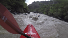
- Final Bigger Rapid (III+ to IV-). After some more boogie, plenty of which was class III as I recall, we got to the last bigger rapid of the run. It is on a left bend and you can see the road above on the right. The main feature was a ledge half way down. We tucked in far left of the center cutting in behind a large rock.
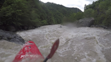
Boogie (III). Fun, splashy, boogie continued to take-out. But all the rapids with lines to hit are behind you. For us, the wind kicked up making the paddle out interesting due to every wave blasting water droplets directly into our eyes.
Put-in / Take-out: Use the GPS coordinates in the map and a mapping program on your phone. The street names will not be legible anyways...
Put-in: The put-in was on the small road that goes from the highway over to the town of Chao. The road crosses a bridge, put in there.
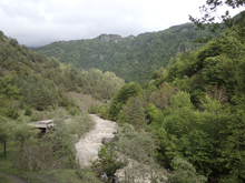
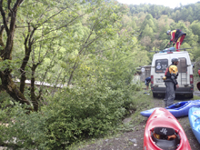
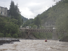
Take-out: Just before the confluence with the Chirukhistskali you will pass under a bridge. Take-out on the left just below.
HTML Comment Box is loading comments...
