Beaver (Moshier)
| Stretch: | Moshier Reservoir to Beaver Lake |
| Difficulty: | Class IV to IV+ |
| Distance: | 2.0 miles |
| Flows: | 400 cfs release. Check out North East Paddlers Message Board for the scheduled released |
| Gradient: | 63 fpm average (large ponds) |
| Put-in: | Moshier Rd Access at the dam |
| Take-out: | Moshier Rd Access at the powerhouse |
| Shuttle: | 1.7 miles (5 minutes one-way) |
| Season: | One release a year, labor day weekend |
| Written: | © 2016 |
| Featured in A Wet State #118 and in A Wet State's contribution to World Kayak's Video Guide | |
NY and Quebec 2016 2016: Day 2 Morning
Moshier is described in numerous sources as the pearl of the Beaver. But due to the negotiations with the power company, releases only occur 1 day a year. If you find yourself in the area, it is certainly worth boating. A sentiment that a few hundred other boaters seemed to have picked up on too as it was the most packed river I have ever seen.
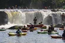
The put-in has a very large slide that serves as the spillway from the lake. It starts with an 18 footer (or so) which then lands on a 100 yard long slide that is maybe 45 degrees and leads down into a massive flake rock. Most boaters were running far right, which honestly was super scrappy. We all saw their lines and thought the first falls looked fun, the small ledge directly below looked fun, and then it just looked like boat abuse. We all opted to put in below rather than hike our boats up for the novelty and honestly I don't really regret that choice still.
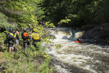
The run starts with a little flat water... we began to realize this part of New York is very pond drop. Not pool drop... but pond. Soon though we found ourselves at the first 10 foot ledge. And in a line. Yup, what happens when hundreds of class III boaters come out to a class III to IV run? A huge pile up of boaters occur at the big drops and you find yourself waiting in line for a drop. Luckily, most people were lapping this drop so downstream it thinned out a little. Another nice ledge followed by a fun rapid before the pond drop nature continued. A few nice class III rapids leads to the main event of this run, Moshier Falls. This rapid isn't a falls, but instead a 4 part rapid. The middle two parts are the parts that give most people problems. It is worth scouting before putting on via the river right trail (despite what the dudes tripping acid at the bottom proclaimed to anyone who would listen (overhear) as they were adamant about "I am so glad we didn't scout that shit, NO REASON! And we are tripping balls!"). To each there own I guess.
Anyways, some people will lap this run two or three times, others will pack up and head over to the Eagle section to get their fill of steep creeking. That was our plan... get some laps in before the race started and the inevitable cluster began.
Next: NY and Quebec 2016: Day 2 Afternoon - Beaver (Eagle)
Last: NY and Quebec 2016: Day 1 Afternoon - Beaver (Taylorsville)
Thanks to Chad Christopher for sharing some pictures from the trip!
Mi -0.15:
- Put-in Slide (V to V+). For those who want something big, look upstream from put-in. The easy scout is on river left. If you choose you want to run it, carry up on river right... or perhaps on river left to the lake and ferry over and go at it that way. Regardless, the entry falls looks fun, it is run far right. Then that lands on a slide with a step just below. This then gets really shallow and funnels you to the huge flake in the middle of the river that you should avoid at all costs. One guy went far left and got close, everyone else went far right... like far far right. Scrappy far. It looked... meh. We all opted to forego it and put-in below.
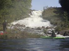
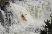
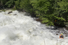
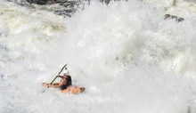
- First Falls (III). The first falls will be obvious... it will have a large line. No joke. Scout on the left if you need. Or just follow everyone else off the forgiving flake on the left. There is also a slide line on the far right side of the river that a lot of people take as well.
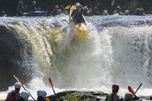
- Second Falls (IV). The second falls is harder than the first for sure. The drop and the fact it has runout. The drop should be run right to left off of the peak of the drop. It is straight forward but a little blind from above. Melting off to the right is no good as a bad hole forms there and there have been close calls. Downstream is a rapid that we ran right and stayed right. Some decent holes exist to punch but it all goes downriver.
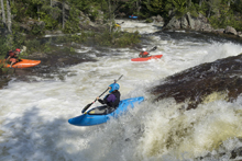
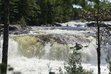
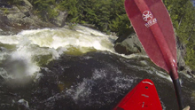
- Fun Rapids (III). After some flat water, you get to a nice narrow spot with a couple of fun read and run rapids. One had a pretty alright little hole at the bottom that you could boof over or avoid to the left. We helped collect swimmers in the pool below that one.
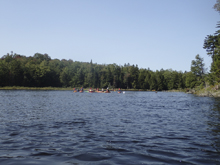
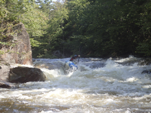
- Fade Slide (III+). After another short pond was a little slide that we ran far right. It definitely has the potential to flip you as you land in an off angle hole off the slide, but there was a recovery pool below.
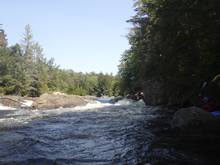
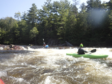
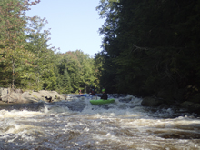
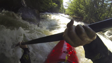
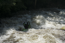
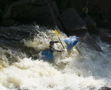
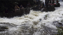
- Moshier Falls (IV+). So much fun, and despite the story in the intro, worth a scout prior. The scout trail is easy to follow and lets you see all parts of the rapid. It also allows for portaging (or laps), whichever way makes the day more fun for you. The first of four tiers was a nice small double drop, we ran far left with just a smidge of right angle and momentum. This then leads to the part that gets most people, the river bends left and slides into a large hole. Some opt for going far right, sliding down through the end of the hole. I liked the line on the inside left which rides the curler to the top of the hole. Super run. Sometimes it eddies you our far right. Catch too much of the curler and you are in the hole. Downstream 100 feet of boogie is the photo famous part of the drop, which is a nice 5 foot shoulder boof off of the left shore. Lots of people melt it. Just be aware if you swim, swim down the gut and not far left as the boof lands just past a crack in the rock that is apparently a sieve. The final tier is just downstream and a ramp into a fluffy hole that you run right of center moving left down the gut. Great fun! Walk up and run it again fun! Just below is take-out.
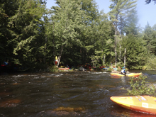
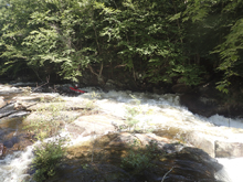
Take-out: I am going to do directions from Belfort and the Taylorsville section as most people will be coming from there the one weekend that this runs a year. I enjoyed the dirt road drive which followed the lakes, bonds, and river up. This lets you scout Eagle if you are nervous for the afternoon following Moshier as well. There is a slightly faster way that is out on paved roads rather than dirt. Just map it. The way we went, from Belfort, on the south side of the river, take the first left. Follow this for 4.3 miles to a T, turn left on Soft Maple Rd. After 1.6 miles turn left to stay on Soft Maple Rd. Continue for 6.4 miles (note, you will cross the river after a little over a mile, there is a pay campsite to the left). After about 3 miles you will see signs for the Portage route which indicates you are passing the Eagle Section. Finally after 6.4 miles, turn right at the T and onto pavement at Buck Point Rd. After only a half mile turn left onto Stillwater Rd and follow for 2 miles. Finally, take a left on Moshier Rd and follow it the 0.7 miles down to take-out.
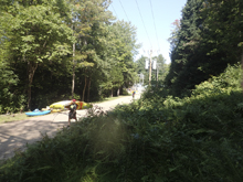
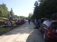
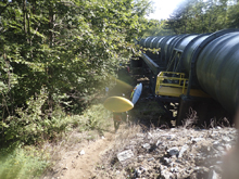
Put-in: The gate was locked, everywhere was marked no camping. I am not sure why the guidebooks state you can camp at put-in and take-out. I guess the powers that be have had a chance of heart since those were written. Anyways, from take-out, just continue up the road another 1.7 miles. You will probably end up having to walk a ways up the pipe to get to put-in as parking stretches down the road.
HTML Comment Box is loading comments...
