Agatsumagawa
| Stretch: | Near Kawarayuonsen |
| Difficulty: | Class III to IV (One IV+). |
| Distance: | 3.1 miles |
| Flows: | We had maybe 500 cfs. It was low flow. |
| Gradient: | 54 fpm (gorge is 98 fpm for 1 mile) |
| Put-in: | Just on the other side of a bridge from the main road +36° 32' 52.76", +138° 41' 30.23" |
| Take-out: | On the old road (gated) just over the river on a bridge +36° 34' 6.46", +138° 43' 53.04" |
| Shuttle: | 3.5 miles (5 minutes one way) |
| Season: | Winter and Spring off of Rain |
| Written: | © 2012 |
| Featured in Video Sixty-Four | |

Japan 2012: Day 1
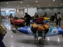
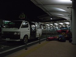
After flying in to Narita airport, just outside of Tokyo, the night before; we drove an hour to the surfing hostel "Free-Wave" to crash for a night and rest up for the trip. The next morning, we all arose much earlier than could ever be anticipated at home... 5 am, in what suprising turned into a habit. Since due to the 8 hour time difference, we adjusted to an 8 pm bed time and a 5-6 am wake-up time. Conducive to kayaking Japan in May as it is dark by 8 pm and light at 5 am. I am sure our friend Yoshiro Takahashi, however, was less appreciative of our early rise time.
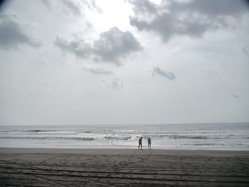
After a morning spent on the East side of the Pacific Ocean, we headed out towards the Agatsumagawa (gawa means river and they don't add spaces between the words). The drive took us through the heart of Tokyo and surprisingly took us 4-5 hours to complete. During the drive, the rain began to fall... the first of many days of rain. Strangely though, in 12 days, we only had 1 day of rain while awake at camp. All the rest of the rain happened on the river or at night while we were in our tents. I think the final count was only 1 night without rain and maybe 3 or 4 days without rain. But the temperature was fair, so it was comfortable at least.
Arriving at the Agatsumagawa, we choose to walk along the roadway to scout and admire the canyon. At the crux of the canyon, a trail leads down and over a foot bridge providing views of the spectacular walled out canyon to be enjoyed. At the flows we had (low), the river was class III with one significant class IV-IV+. I know folks have gone in significantly higher, reducing the eddies to theoretical and upping the consequence. In Cody Howard's video "The Risen Sun," you can see the big rapid getting run with significantly more water making the holes and cushion a bit spicier.
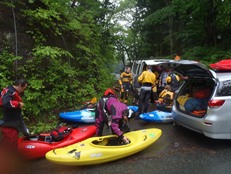
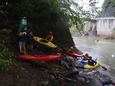
The run is short in length at 3 miles, but laps would be easy to do. Another option is to take out further down which adds 3 miles of class II and also makes the take-out trail more difficult. Since we got a late start to our first day (putting on at 4:30 pm) and were still horribly jet lagged, we opted for the shorter run taking off earlier so we could get some dinner and head to Lincoln Taylor's house an hour away in Minikami to crash for the night.
If it were not for the bigger rapid, I would say this is the best class III run I have ever done. The scenery was superb, the canyon fully committing. The hard rapid is not portagable without a throw and go but it can be sneakable on the right at the right flows. If you are in the area and looking for a mellow day, you won't regret going into this canyon. And as it turned out, the breath taking scenery we experienced on that first day was just the beginning... who knew a country and its rivers could be so beautiful.
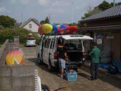
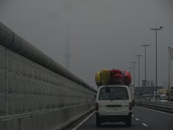
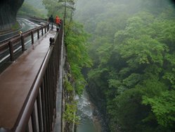
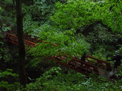
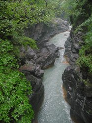
Also, check out Darin McQuoid's photos on his website, www.darinmcquoid.com
Next: Day 2 Morning (Tonegawa)
Mi 0-1.8:
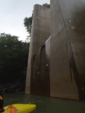
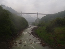
- Boogie rapids were class III-IV in nature. Some of them were rather rocky at the low flows. Soon though, you pass by the dam construction (it will be interesting to see what happens to this river in the future) and the gorge walls tighten up.
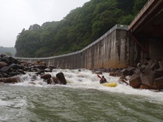
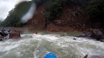
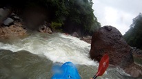
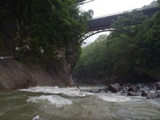
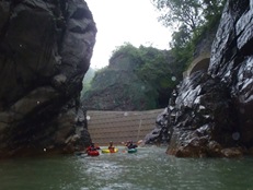
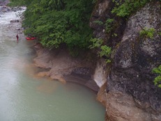
- The Gorge (III to IV). There are two or three good rapids in here, due to low light and its class III nature, we didn't get any pictures in this area. However, keep in mind to stay off of the walls. One rapid in particular on a sharp left bend had an undercut on the right wall that the water was hitting. Just downstream, you pass under the foot bridge that we hiked into prior to putting on. Just downstream is the largest rapid.
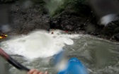
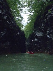
The Big One (IV+). A short but intimidating rapid... there is an S-turn left then right. A hole at the top as well as one in the middle. On the right turn, the water pushes into the left wall before dropping into the final hole. If you are straight, all three holes are fine. One in our group flipped on the cushion against the wall and got locked into the hole and swam.
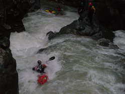
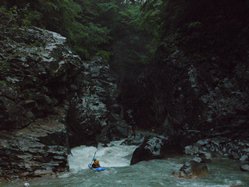
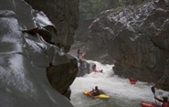
- The paddle out is brief and has a few fun class III rapids and one hole that stood out on an obvious constriction just above the last bridge.
Directions: Use the GPS locations to get yourself to put-in and take-out... I wasn't driving most days and do not know enough of the directions to be useful.
Take-out: We crossed a bridge and had to move a gate that blocked the "old" road. Just down the road a hundred or two yards there was a pull out on the left. Park here. The trail drops straight down from the turn-out to the water. If you reach an open spot, you have gone too far.
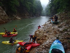
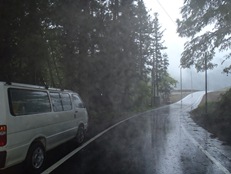
Put-in: We headed upriver on the main road that paralleled the river. Well past the gorge, while the river was directly next to the road, we crossed the first low bridge we came to. Directly on the other side there was a road that was gated. We hiked down this gated road a hundred yards and then scrambled down to the water.
HTML Comment Box is loading comments...
