Youghiogheny River (Lower)
| Stretch: | Ohiopyle Falls to Bruner Run |
| Difficulty: | Class III- to III |
| Distance: | 6.95 miles |
| Flows: | 1.2-7+ ft.. Current AW gauge |
| Gradient: | 36.8 fpm average in the Loop, 23.3 fpm average after the Loop |
| Put-in: | Access below Ohiopyle Falls |
| Take-out: | Access at Bruner Run |
| Shuttle: | 6.8 miles, (15 minutes one-way) |
| Season: | Year round, needs a little rain anywhere in the drainage. |
| Written: | © 2020 |
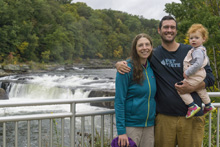
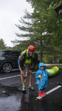
So we were looking for a way to get Diane's mom on the water while she was camping with us, so this fit the bill nicely! This is a classic class III run that is a regional staple of boating. It is in a beautiful state park that also has several other classic sections that are rain fed, such as Meadow Run. But, this run is dam release... and on that topic, it seems to always be above 1.82' on the gauge. Which is great for this specific run, but, is the cut off for the falls just above put-in. Three trips to the general area and each time the falls are too high to run legally. Sigh, woe is me. Oh well.
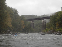
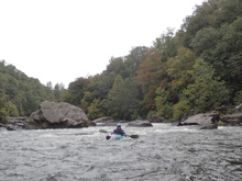
Diane and her mom did the full run in the morning, while I hiked Meadow Run with Aster and ran their shuttle. I then did just the Loop version of the run, which gives you a high bang for your buck 1.3 miles followed by a quick high over the horseshoe neck back to your car. From the sign in counter at put-in, it seems the Loop is very popular.
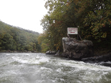
So a few things on that note, make sure to sign in at the kiosk just behind the ranger station. The rangers also have rapid by rapid river maps if you need them. And there is a video to make you aware of safety etc on the river. This makes me think that during summer it may be a total shit show. For us, we had the river to ourselves on a nice rainy autumn midweek day! At take-out, during most of the year, on the weekends you have to buy a bus token at the ranger station to get driven out of the gorge on a bus to the larger, higher, parking lot. Mid week though this isn't an issue, thankfully... you know, with Covid and all!
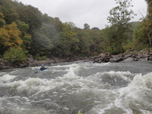
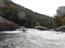
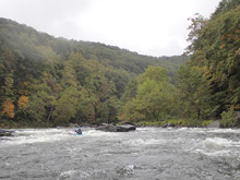
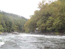
The Loop is a steady stream of rapids, all in the class III- to III range. Diane said that the miles below the Loop, the river hit some big flats, and much less frequent entertaining rapids. She encouraged me to just do the Loop rather than do the whole run... so I can't speak to the lower stuff myself.
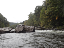
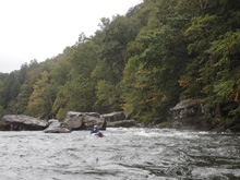
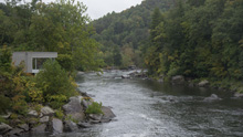
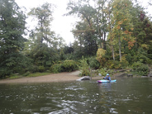
Anyways, I am sure we will be back here. It seems like a great run to bring a kid up on so I am sure we will take Aster there at some point. 2.0' seemed like a great flow, lower would get rocky in a hurry and I could see high flows also adds significant challenge. The canyon itself was nicely wooded and the fall colors were spectacular. The river bed, while you can tell can handle some big water did not feel like a trickle in the river bed, which gave it a nice overall feeling. And if you do the loop, it only takes maybe 10 minutes to walk back to the top. So, all around, a nice stop!
Mi 0.2:
- Entrance (II+ to III-). Just below put-in you get the first good rapid. This is a long boulder garden with a few nice spots to surf. The main channel starts right of center. You can go straight down it and follow it back to the left where the river braids out a little. There were a lot of places to exit.
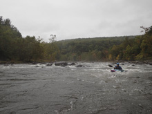
- Cucumber (III- to III). The biggest rapid of the Loop section in my mind. The main flow breaks off into the right channel while the left half of the river runs into a lot of rocks. In the right channel, a rock fence forms a broken ledge that is best run left of center to avoid the meat of the holes below.
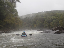
Boogie (II). Two mellower rapids are in here that I don't recall the specifics of, but offered some nice ferries and eddy lines to play on.
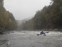
- Eddy Turn (II+). I started down the left which ended up looking easy so I did an attainment and ferry to the right to run a nice small ledge over there.
- Railroad (II+ to III). One small rapid, and then you get to the finale of the Loop. This rapid has a nice ledge that is off angle in the main left of center channel. Below this move are several choices of channels, basically all of which go fine.
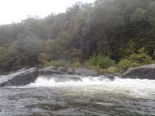
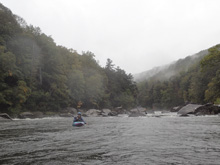
Loop Take-out: Trail is well marked on the right if you are hiking back to your car.
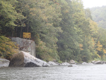
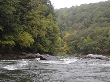
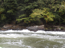
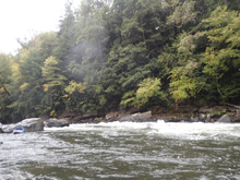
From here, I do not have personal info as I only did the loop, whereas Diane did the full run with her mom. So I will just post the names of the rapid, their AW rating, and any pic Diane may have taken.
- Dimple (III). Diane said that the sneak around the rapid was super obvious and easy, and running mainline was also not a problem for people with class III skills.
- Bottle of Wine (II+).
- Double Hydraulic (III).
- School House Rock (II+).
Take-out: Go to the town of Ohiopyle, go to the ranger office, buy your bus token if you are there on a weekend during peak season. Then, head south on Main street. Cross the Meadow Run bridge and turn right onto Ohiopyle Rd. Stay right after a few hundred yards to continue on this road. After 1.5 miles you come to a 4 way intersection, continue straight across onto Holland Hill Rd. After 2.1 miles, at the cemetary, turn right to stay on Hollard Hill which then turns into Sugar Run Rd. Follow this for 1.3 miles. If it is weekend during peak, turn right and park in the private boater parking area. This is where the bus will drop you off assuming you bought your token. If it isn't a weekend during peak, then you can continue down the small road by turning left just before the parking area. This leads about 1.5 miles to a small private and commercial boater parking lot.

Put-in: Go back to the Ohipyle Visitor Center. Just google that, it is easy. Big parking lot there.
HTML Comment Box is loading comments...

