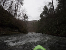
Wildcat Creek
| Stretch: | Warrior Passage Trail to Tellico River |
| Difficulty: | Class IV |
| Distance: | 3.5 miles |
| Flows: | Look for Tellico to be 7+ and dropping, or 4+ and rising. USGS's Tellico gauge |
| Gradient: | 135 fpm average |
| Put-in: | Warrior Passage Trail |
| Take-out: | Wildcat Overlook on Cherahala Skyway |
| Shuttle: | 4.3 miles, (15 minutes one-way, good dirt road) Plus 0.9 miles hiking |
| Season: | Winter, and Spring from rain |
| Written: | © 2019 |
Well, this year (2019) has just been full of rain. So, of course come Friday evening another wave of rain came through. Only, this time, Saturday morning, I was less than free... as Diane and I were in a Baby Class to learn how to keep an infant alive and wipe their bums properly. While sitting in class in the morning, texts began to come through about boating plans. Kat Levitt was on a later plan too with her husband David, and Scott Shoup, and had their sites set on Wildcat Creek. The timing worked out perfectly for me to head that way after class ended. So the plan was made. Prior to a month ago I had not done anything in the area other than the Upper and Middle Tellico, but now I have also gotten 3x and 2x Upper Tellico, Bald River, and Citico Creek. So, Wildcat being added to the list was an easy choice, plus, Kirk's write up of it is superb so that is always promising.
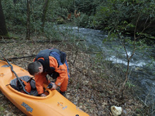
I arrived after everyone else, the rain was starting again, so I quickly began to change and move my boat around, hollering to Kat to confirm that it had water (you can see the creek from take-out), she confirmed it had water. I hadn't even looked at the Tellico gauge, let alone the rainfall map to see what was going on in the area, in hindsight if I had, I may have checked the visual myself. As, an hour later, after hiking into put-in, we found ELF water levels.
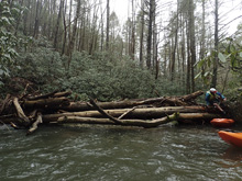
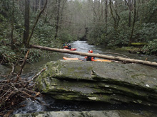
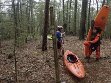
The run starts with a hike, it is a little bit tricky as the trail sorta disappears in one key moment, we spent maybe 10 minutes looking for it again at that time, it didn't help that the trees with the markers on them had falled over the trail, hiding it good and well. Once on the river, you get some light boogie before the V8 gorge, scout to ensure it isn't full of wood as you are locked in and the exit pinches down to just a boatwidth. Luckily, the gorge is short and only has one small ledge to it, and can be portaged/scouted on the left. Downstream, rapids start... and so did the wood portages. Whereas above the V8 gorge we had only 2 wood portages, downstream we began to portage every 100-300 yards due to wood. Over the course of the run we had to do maybe 12-15 wood portages, a few aggressive ducks or maneuver arounds, and a few pull over lines around wood. In the end, it was a portage fest in 2019 due to the wood situation.
The rapids though, were reasonably fun, though again, ELF for us. Below V8 gorge, rapids began to come in quicker succession, with a few tight slots, a few nice small slide, some nice multi tiered drops, one long boulder garden and one sweet boof spread across the rest of the run. We did have one portage due to low water on one of the bigger rapids, a boof to slide drop where too much water dropped into sieves on either side and not enough water went up and over the boof.
Regardless of the flow though, the scenery was quite nice indeed. I had always heard this is one of the main draws of the run, and it did not disappoint. Although there is a dirt road high on the left throughout much of the run, it is in no ways visible and allows you some comfort for escape if so required.
If this run is clean, I could see it being a very nice run. But for us, with the wood situation this year, and with the ELF flow, I was left fairly unimpressed.
For reference, the Tellico had gone from 2.0' to 4.6' with 1.25" of afternoon and overnight rain. We got a late start, meeting at 1:30 pm... I bet if we had gotten there at 9 am we would have had better flow.
Mi 0.0:
- Boogie (II to III). The boogie starts immedaitly below put-in, it is mostly class II though one steeper drop appeared. We boofed down the right channel, mind the right shore however as it is fairly undercut.
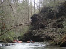
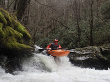
- V8 Gorge (III). The river makes an obviously ominous sharp left turn and drops into this gorge. Rest assured, you can egress on the left if you go one eddy too far. But, it is highly recommended to scout on the left before dropping in. The exit is blind from river level and chokes down to a boat width wide, wood here would spell disaster. You can also portage on the left if need be. The rapid however is just a small ledge maybe 3 feet tall, run it center, away from the left sorta undercut wall, and then the exit is just moving water.
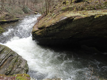
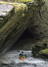
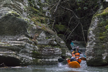
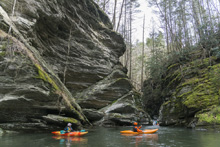
Mini S-Turn (III to IV-). For us it was a portage due to wood. But not far below was a tight rapid where most of the river dropped into a tight slot on the left. Two portaged left, two portaged right.
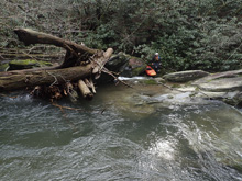
- Reconnect Falls (IV). Somewhere in here you get to a horizon line, I think it is pretty close to the S-Turn rapid. Scout from either side. The line is to drive up and over a midstream rock, and boof onto the slide behind it. The hazard is that either side of said rock is a sieve. Our ELF flow looked marginal on getting up and over the rock. I was a little more game to try, however the group seemed very concerned when I got in my boat to run it, so instead I joined them on an easy enough portage on the right.
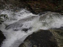
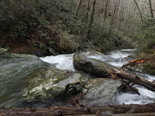
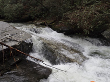
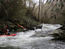
S-Turn (III to IV). This one was made more difficult by wood and by the low flow. The river did a big s-turn left to right and back left. We scouted on the right. The line was right of center, minding the right wall which looked like it has pin potential. We also didn't want to be center as a rock was exposed there. I think with more water the rocks would fill in and it would be more straightforward.
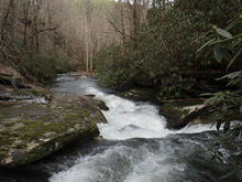
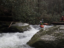
- Slides (III). A wonderful creek enters on the right and you bend left and drop through some nice mellow slidey drops. Apparently this is about where the lower put-in comes in that is described on AW.
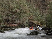
Boogie (III). A couple of nice rapids are in this section. David scouted us down one where the river split around an island, the left line was cleanest with a nice boof off the left side of the middle rock.
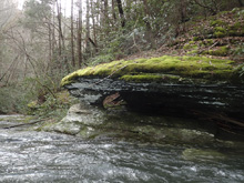
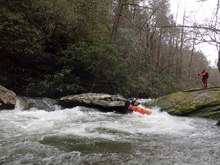
Boogie (III). Another tight slot rapid was best down the left, another beautiful creek dropped in just downstream.
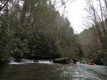
Boogie (III). One more rapid stuck out in my mind which was a multi pitch rapid, the bottom of which ended in a small ledge, you just down water to be left as there was a large piton rock that was blind from above. We also had several wood portages in here.
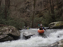
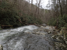
Small Ledges (III). Two small rapids were here, the first we hoped out for a quick scout to be sure that there wasn't wood. The line was down the right, boofing what I imagine can become a sticky hole at higher flows. The second was a small ledge we ran down the left.
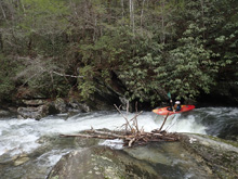
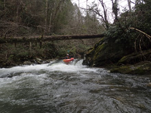
- Minigorge (IV- to IV). The main rapid in here is a three part rapid. The first part is a boof in the center through a soft hole. The second part is a small ramp. The final step was made harder due to wood in the easy right channel. So instead, we had to go down the small left channel that had Rhodo overhanging. You wanted to be right on that exit as the left was a bit of an undercut pocket.
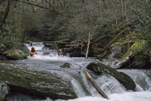
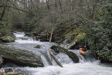
Exit Rapid (IV). The next rapid was one of the biggest on the run, or at least longest. The river split around a midstream island. We ran down the left which had a few small holes to punch. The exit then ramped off into some rocks in the center, for that reason we charged far right. I scouted it while shooting some pics of the Minigorge rapid and was able to send Scott to an eddy at the lip of the bottom to scout the exit.
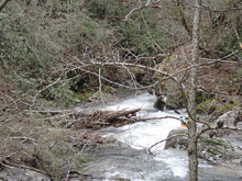
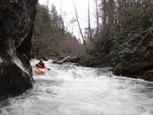
Boogie (II+). A few small boogie rapids and more wood portages.
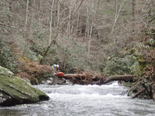
- Wildcat Falls (IV). The last rapid is probably the biggest single drop on the run. A small ledge leads to a pinch where the river drops left to right into the right wall. You want to charge the ledge heading downstream, cross current at the lip, to project downstream and away from the wall. Super sweet.
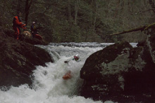
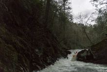
Take-out: From Tellico Plains, head east on TN-165 (Cherohala Skyway) for 3.2 miles. Just after the bridge over the river, look for the Wildcat Overlook. Park Here.
Put-in: Head back towards Tellico Plains. After 1.4 miles, turn left on Old Furnance Rd. It is a small road directly across from the burger joint in Tellico Beach. Climb up through a residential area, popping out on a dirt forest service road. Continue for 2.9 miles to the trail which drops off the side of the road. The dirt road is just wide enough here to park.
Hiking Directions: Once parked at the "Trail #164" sign, head on the main trail.
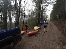
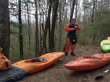
After just a short ways, the trail sorta petters out, look for a well established spur dropping down to the right, and quickly crossing a small creek.
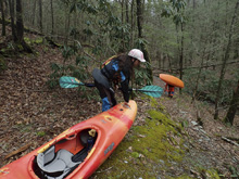
You then have a short section of climbing before you drop down the back side of a small hill. Again, you hit a creek. We crossed the creek and lost the trail. By heading down the creek, on the right side of it, we refound the trail.
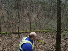
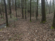
Eventually this pulls away from the creek to the right. Follow this, again climbing briefly to a ridge, turn right and keep going up. This then deposits you on a bigger trail.
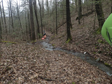
Turn left and follow this the short ways to the river. The hike is just about 0.9 miles and took us 30 minutes with our brief getting lost.
HTML Comment Box is loading comments...

