
Whites Creek (Upper)
| Stretch: | Highway 68 to Possum Trot Rd |
| Difficulty: | Class II to III (wood makes for a class III day though) |
| Distance: | 6.0 miles (+5.5 on the Lower) |
| Flows: | 3'+ on the Lower's take-out bridge gauge. We had 2.5' when we took off and it was minimum. Look for 1" of rain or more in past 12-24 hrs. |
| Gradient: | 66 fpm average |
| Put-in: | River right, downstream side at Highway 68 |
| Take-out: | River Left at the Possum Trot Bridge, or downstream 5.5 more miles at Highway 27. |
| Shuttle: | 17.6 miles, (20 minutes one-way) |
| Season: | Fall to Spring, Rain fed |
| Written: | © 2021 |
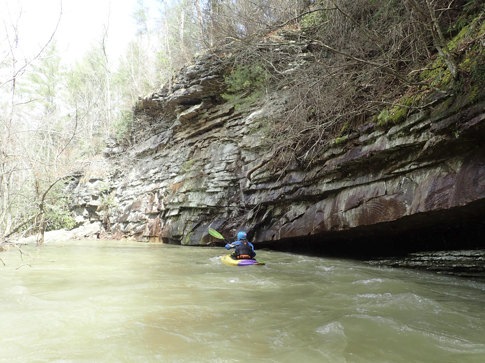
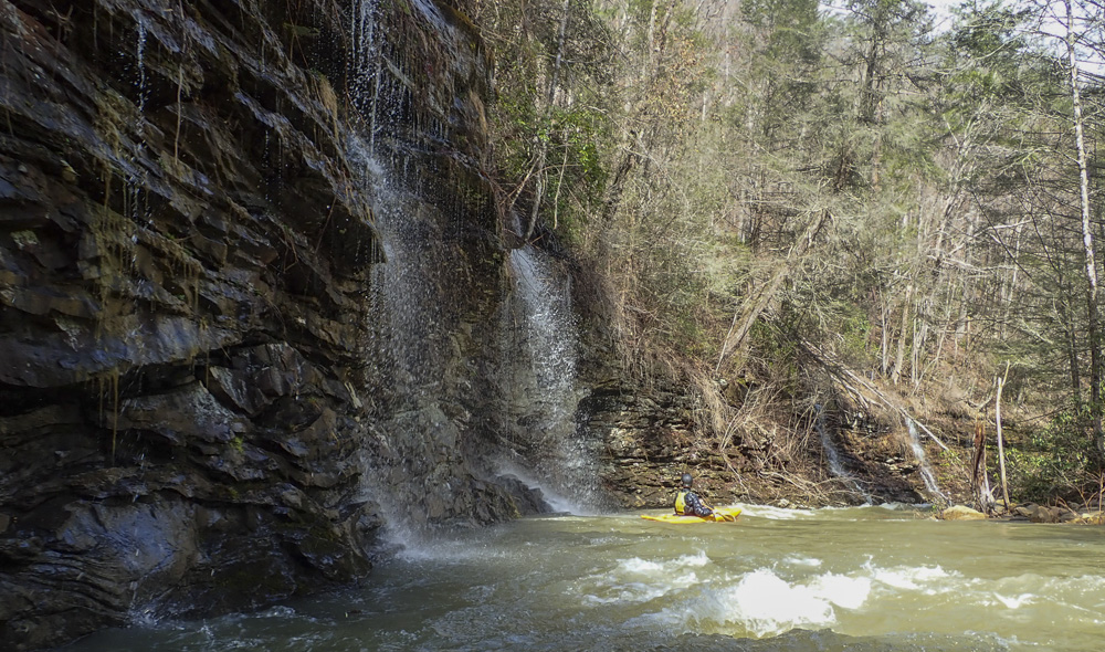
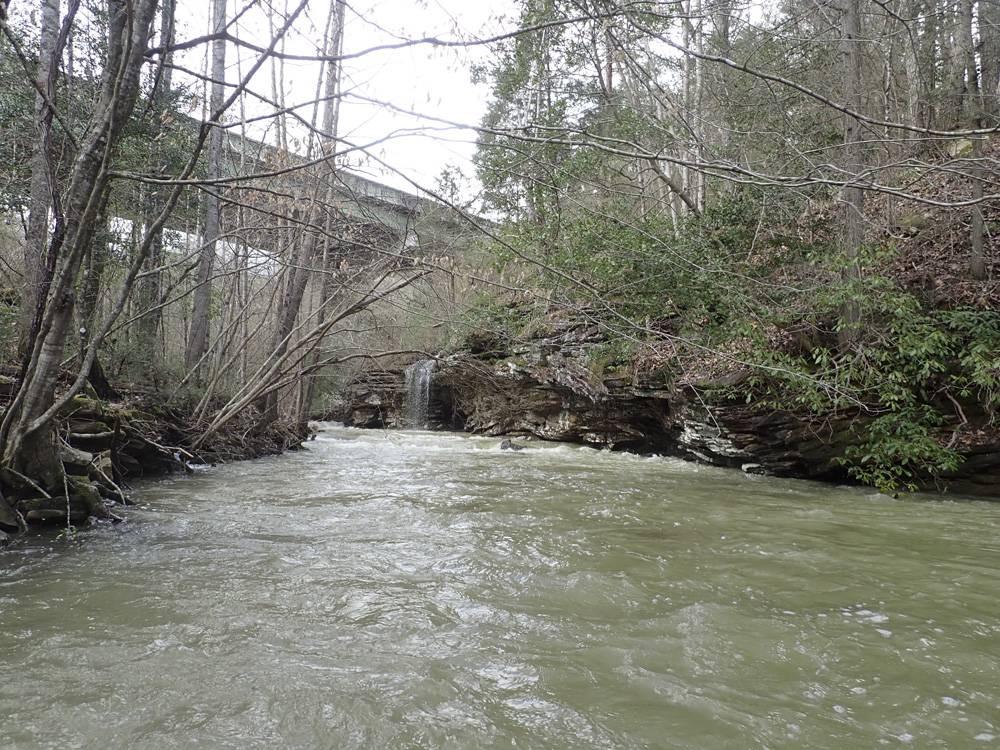
We had originally planned to boat Sandy Creek into Upper Whites into Lower Whites, the same day we did Dunlap Creek. But with Dunlap having been very low and Whites dropping from 4.0 earlier in the day to 3.0, we assumed Sandy would be too low. Apparently, that creek is slidy class II-III and Trembly says it is superior to Upper Whites. Upper Whites though was actually rather enjoyable. The scenery was very nice and the rapids fun enough, for that style. A few standouts early on add a smidge of spice that the average user might find exhilarating. The wood situation is the real downside though. While we only got out of our boats once, we had a few lucky guesses on channels, and a few aggressive maneuvers to avoid some logs. So I think most people would make a few more portages.
Our flow was rather low, not as ELF as our Dunlap run, but a solid low flow. I would like to see it with more water as I think it would be rather fun. When you hit Sandy Creek, the water level will about double and the nature changes to start feeling more like a padded creek rather than a micro creek. A few surf waves will appear and keep you entertained down to the Put-in for Lower Whites, which I assume if you are boating this... you are going to boat that, as you should.
We had 3.0 dropping to 2.5 which was a fine minimum flow. It offered a very fun paddle out on Lower Whites which was full of surfing. However, I think 1 foot higher would have been ideal for both cases. Since the Upper Whites put in is essentially the same length shuttle as Lower Whites, unless you are pressed on time for the river portion, if it is running, you might as well extend your paddle by putting on Upper Whites or Sandy to make for a more full day.
Mi 0.15:
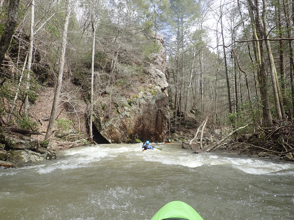
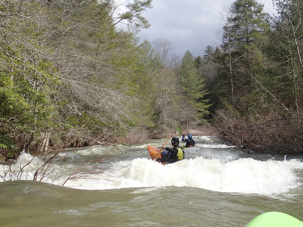
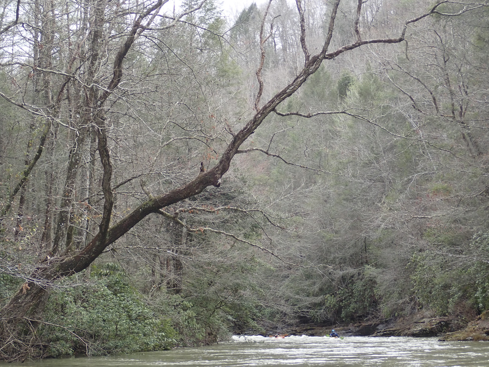
- First Rapids (III). Right at the beginning were the biggest rapids. One in particular stood out and was on a right turn and was a bedrock slide into a small shelf. We ran down the left.
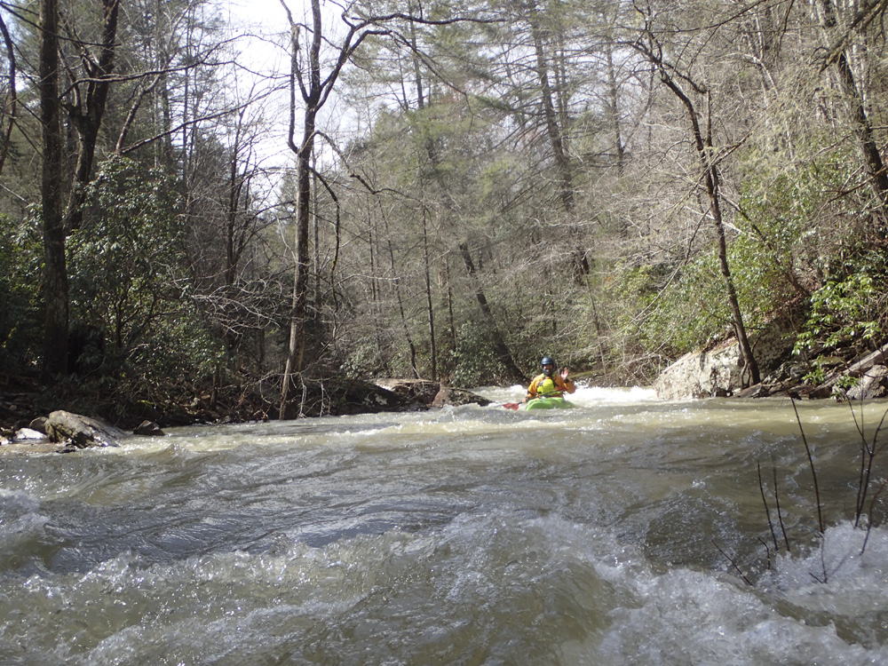
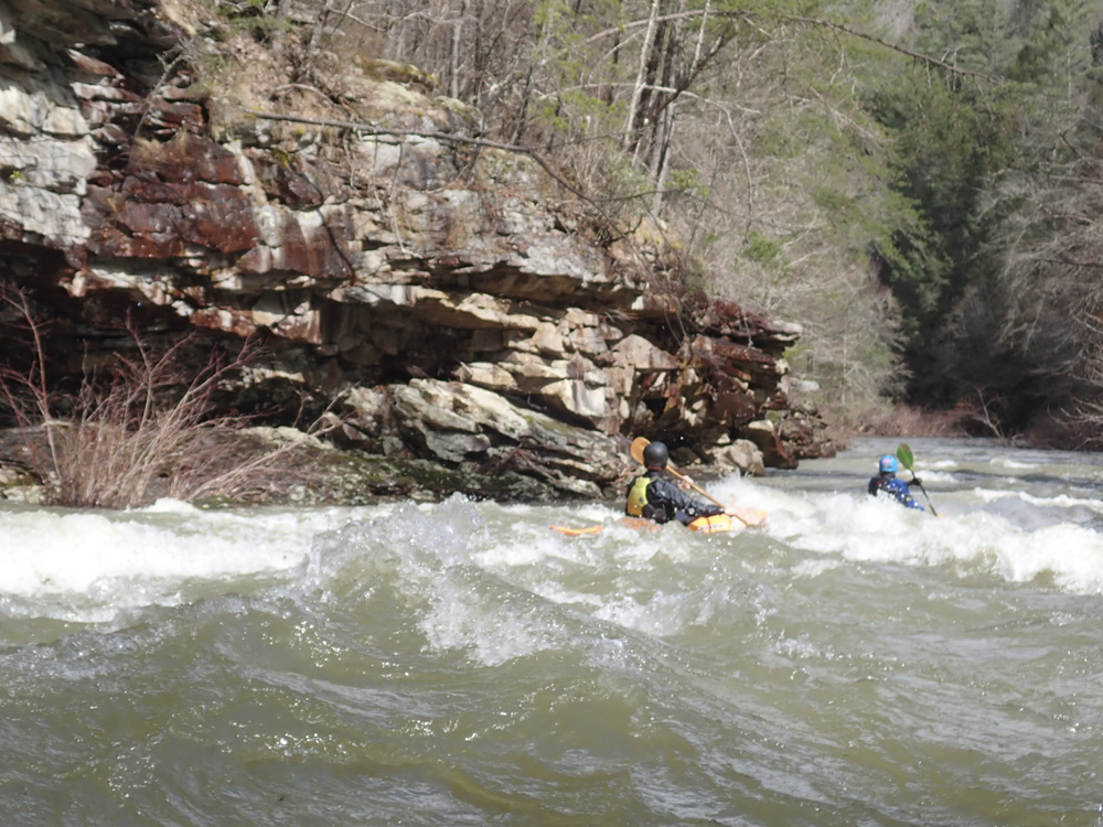
Undercut (II-). An easy rapid, but stay off the left wall as it is a nasty undercut.
- Coal Creek. This alternate put-in option enters on the left. I have not yet run it as of this writing.
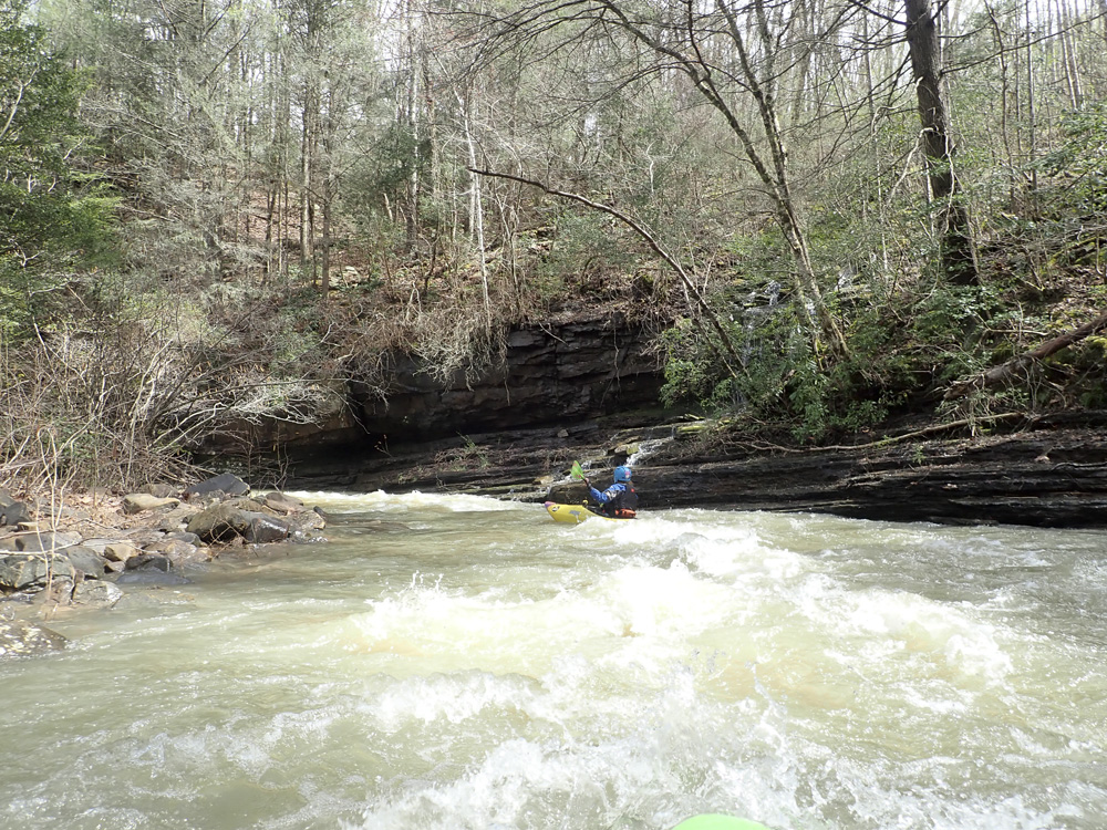
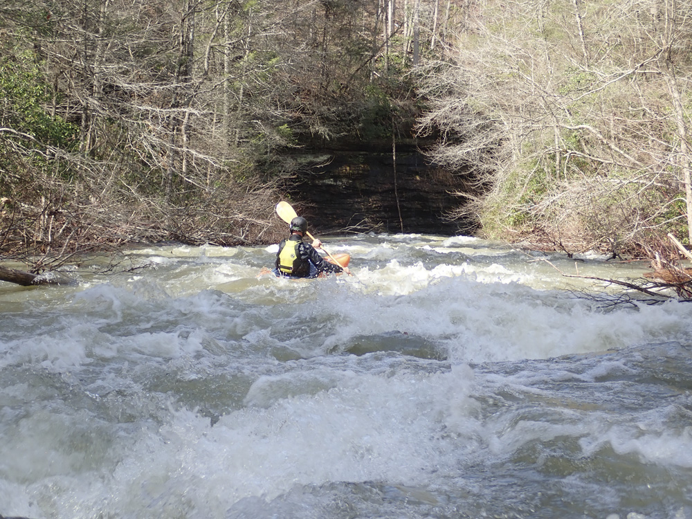
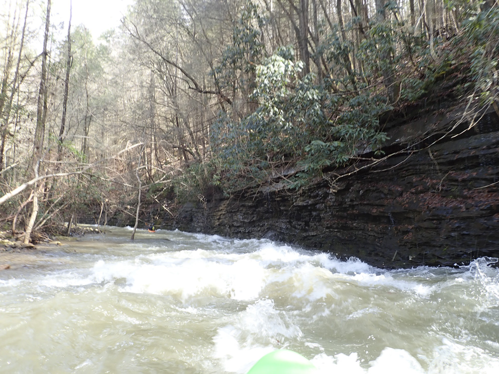
Boogie (II to II+). The rapids were straight forward, though a little rocky so not for people who are beginners like the rating would suggest. Also, wood is ever present and will potentially require portages and/or aggressive harder moves to go through, over, or under some of the trees. The whole run has this boogie.
- Sandy Creek. This alternate put-in option enters on the left. It is similar length to what you have paddled so far on Upper Whites and I am told it is of higher quality. It carried about half the flow on our day, so it was likely running but we thought it wouldn't be. I have yet to paddle it.
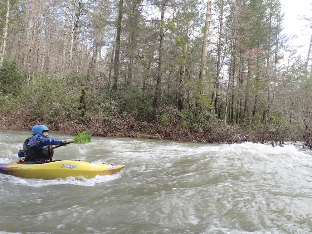
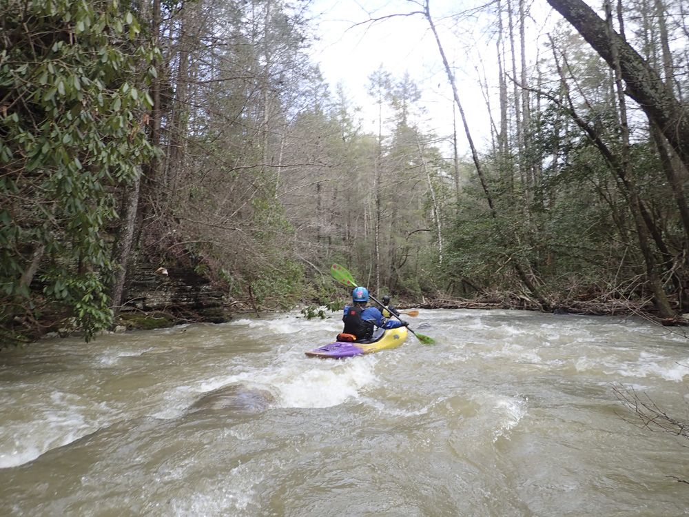
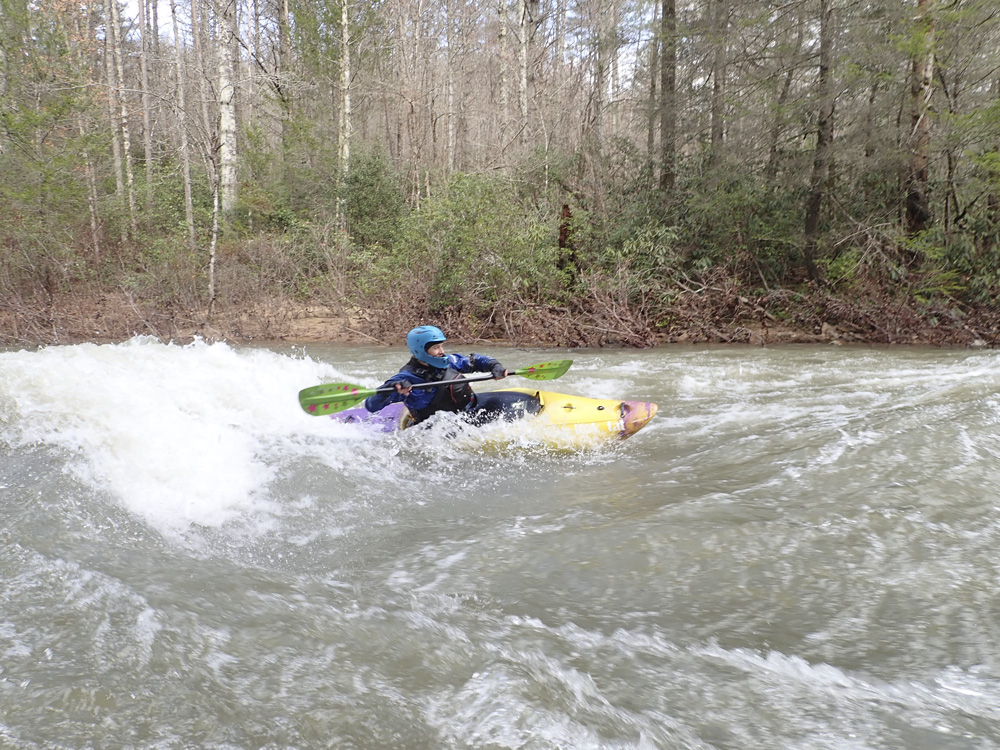
Surf Boogie (II to II+). The river is now more full and begins to have a Lower Whites feel. There is some nice surf if you keep your eyes open. The river stays pretty easy though.
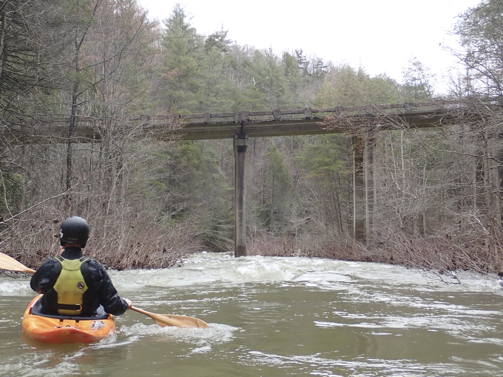
- Possom Trot Bridge. Marks the start of the Lower section of Whites. See that write-up.
Lower Take-out: From highway 40, take highway 27 South through Cardiff towards Spring City. After 12.8 miles look for a small frontage road on your right, just before you cross the river. This will lead you to parking under the bridge.
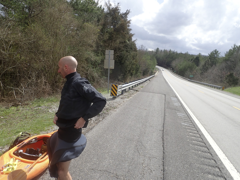
Upper Take-out: I assume you will paddle all the way down to Lower's take-out, but if you don't... Then go south on Hwy-27 until you get to Spring City, take TN-68 N for 4.0 miles up the plateau. Turn right on Possum Trot Rd and continue for 5.1 miles to the bridge. There is shoulder parking on the far side.
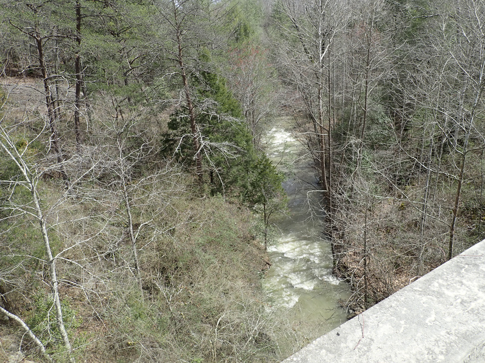
Put-in: From Spring City, take TN-68 up the plateau for 7.5 miles. There was shoulder parking on the right after the bridge, then we walked back across the bridge to access the creek on river right.
HTML Comment Box is loading comments...